Biking with George Washington

How cool is this? Biking with George Washington.

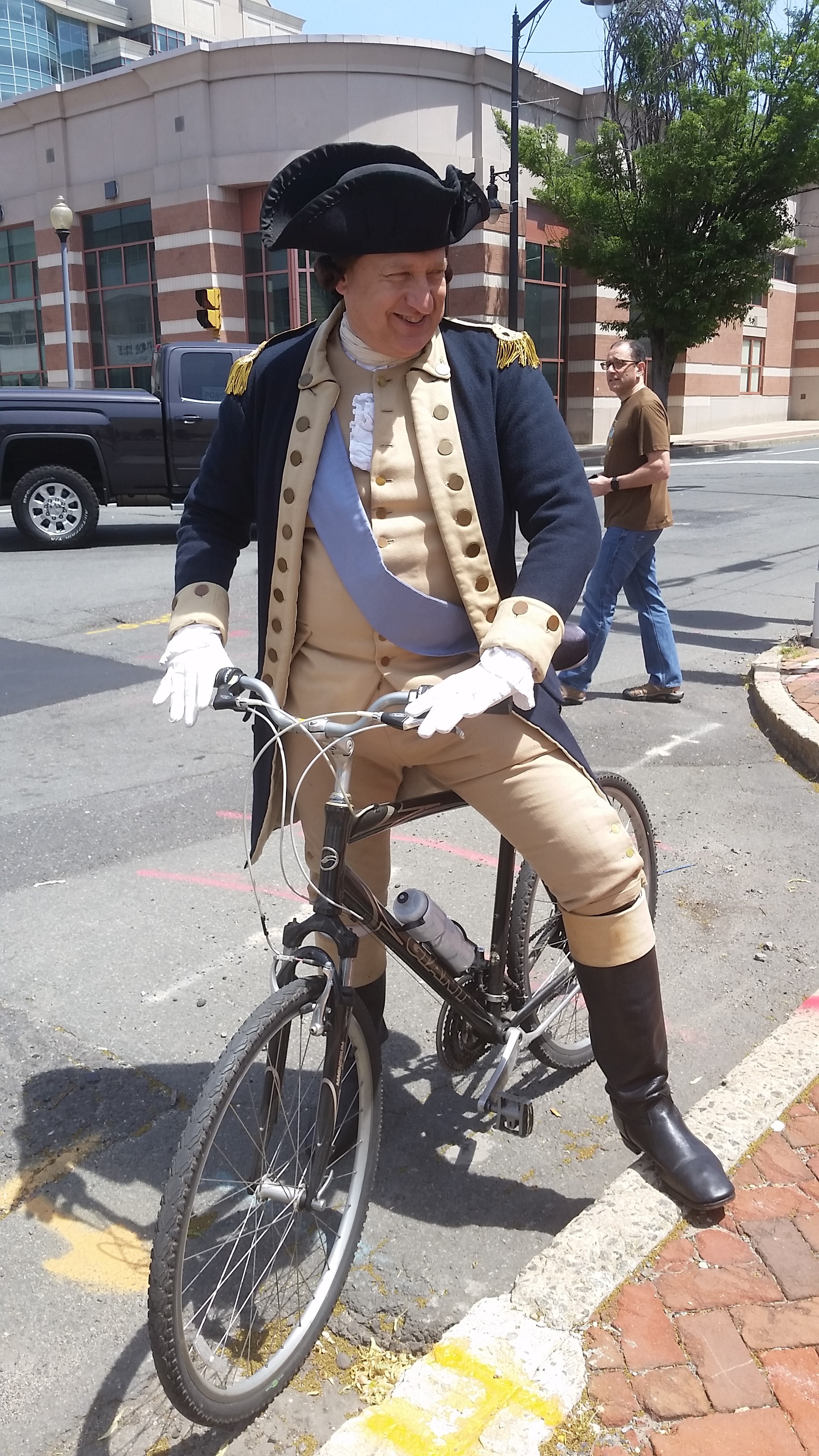
This is the coolest bike ride of the year so far — pedaling with George Washington (OK, a reenactor) and about 80 “troops” from the site of Battle of Trenton to the Battle of Princeton. All that was missing (beyond Alexander Hamilton) were some Redcoats in hot pursuit (even if that last part isn’t historically accurate). Next year!

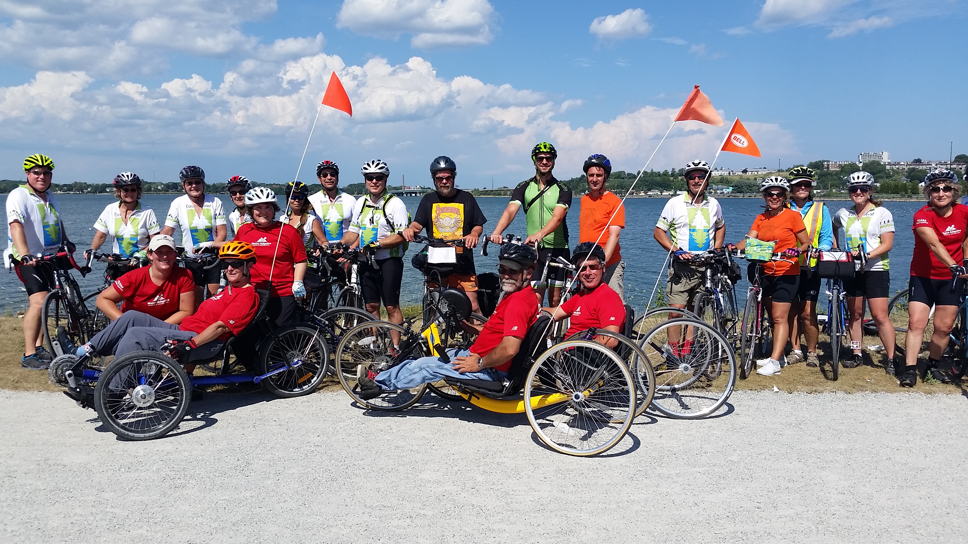
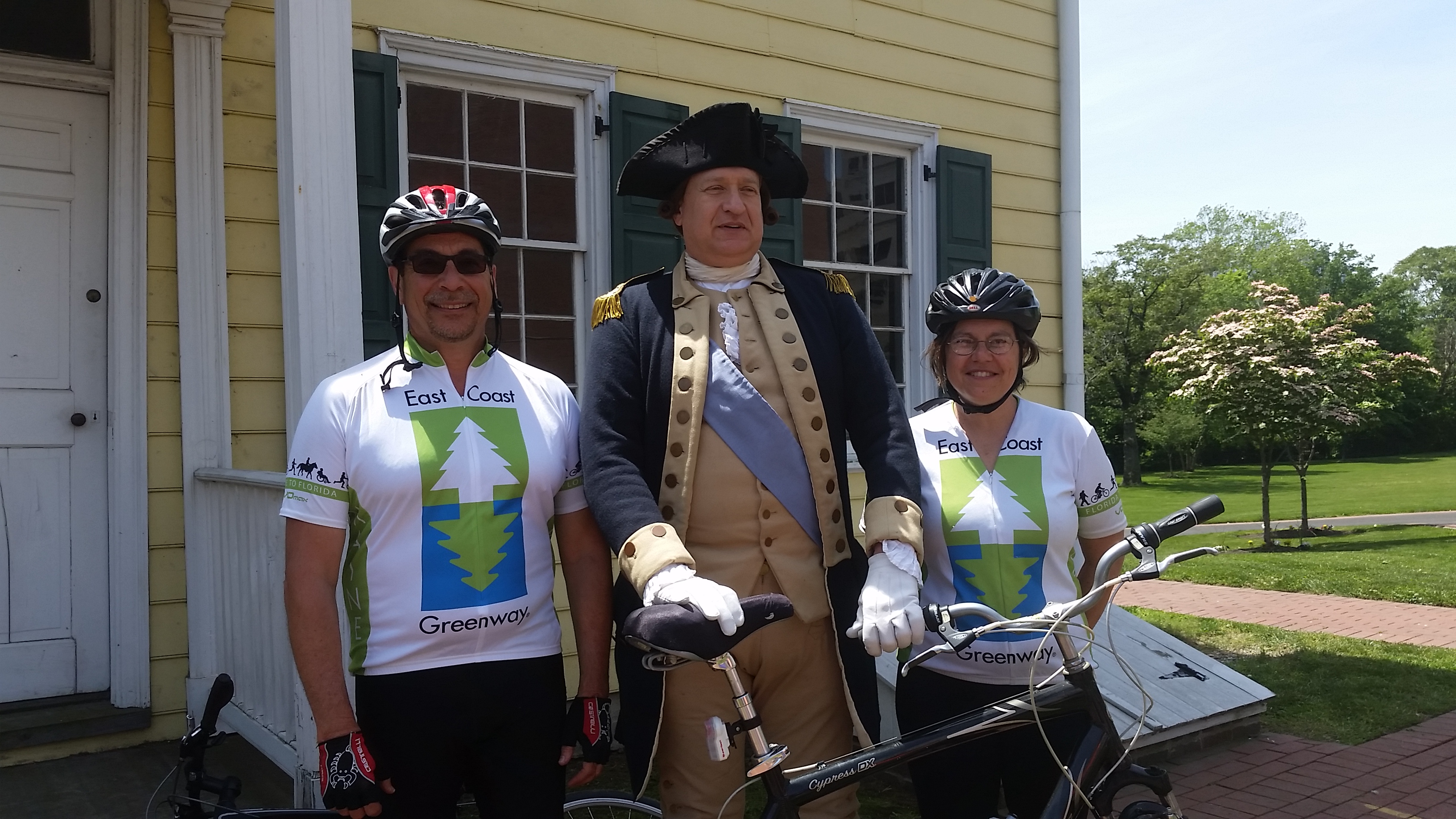
This 10-mile “Chasing George” ride (with accompanying historical talks) was organized by the Historical Society of Princeton with help from a number of organizations, including a few of us representing the East Coast Greenway who escorted one company of “soldiers” from the Trenton train station to the Douglass House, site of a Council of War after the Second Battle of Trenton and the starting point for this ride. Some 37 of us took off behind General Washington, followed by 32 others who took a wider view of history. They had ridden out from just south of Princeton to Washington Crossing (site of the Dec. 25, 1776 crossing of the Delaware River) and then onto Trenton.

Yeah, the kids loved it. They made sure they were up front with George!

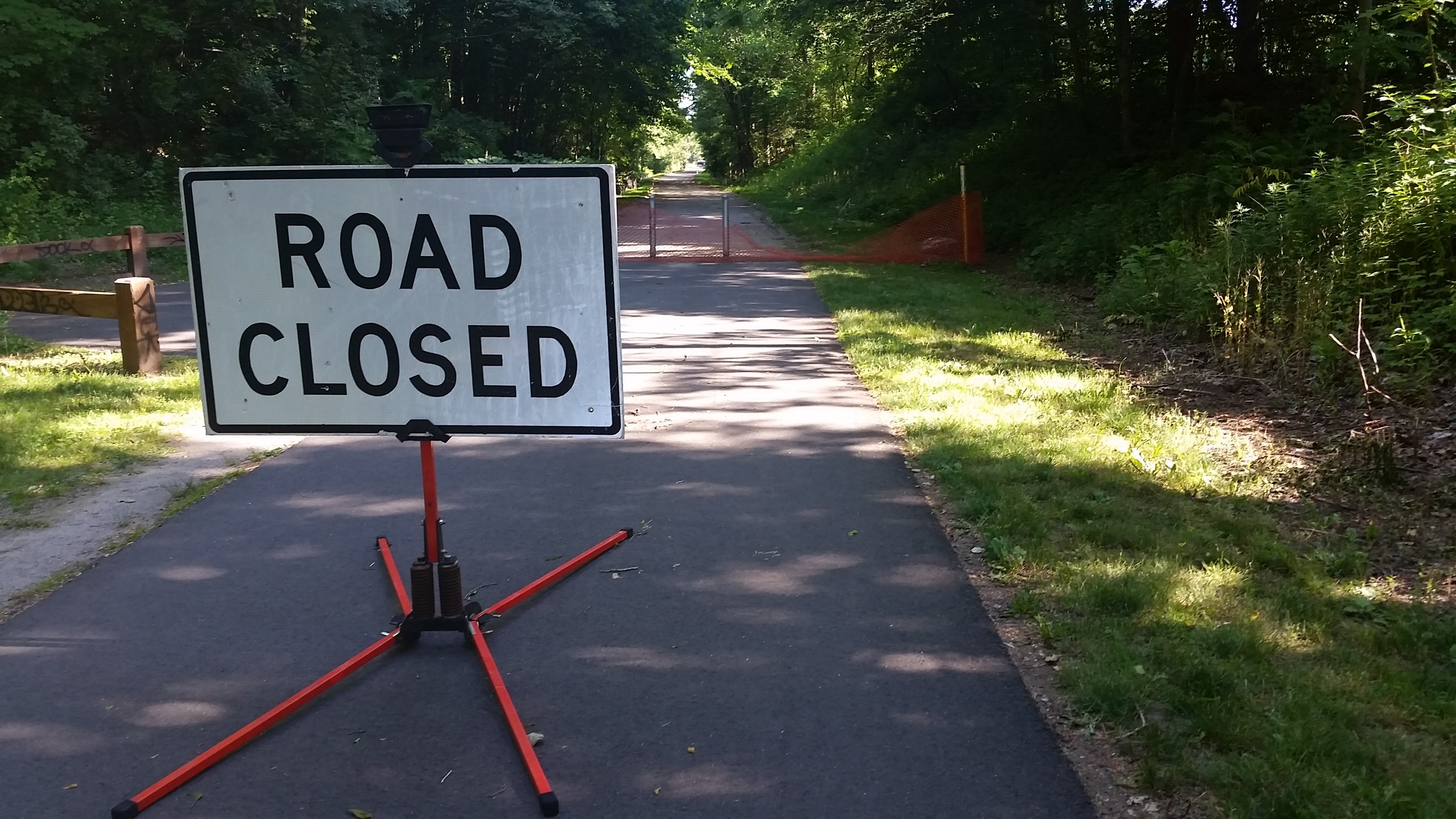
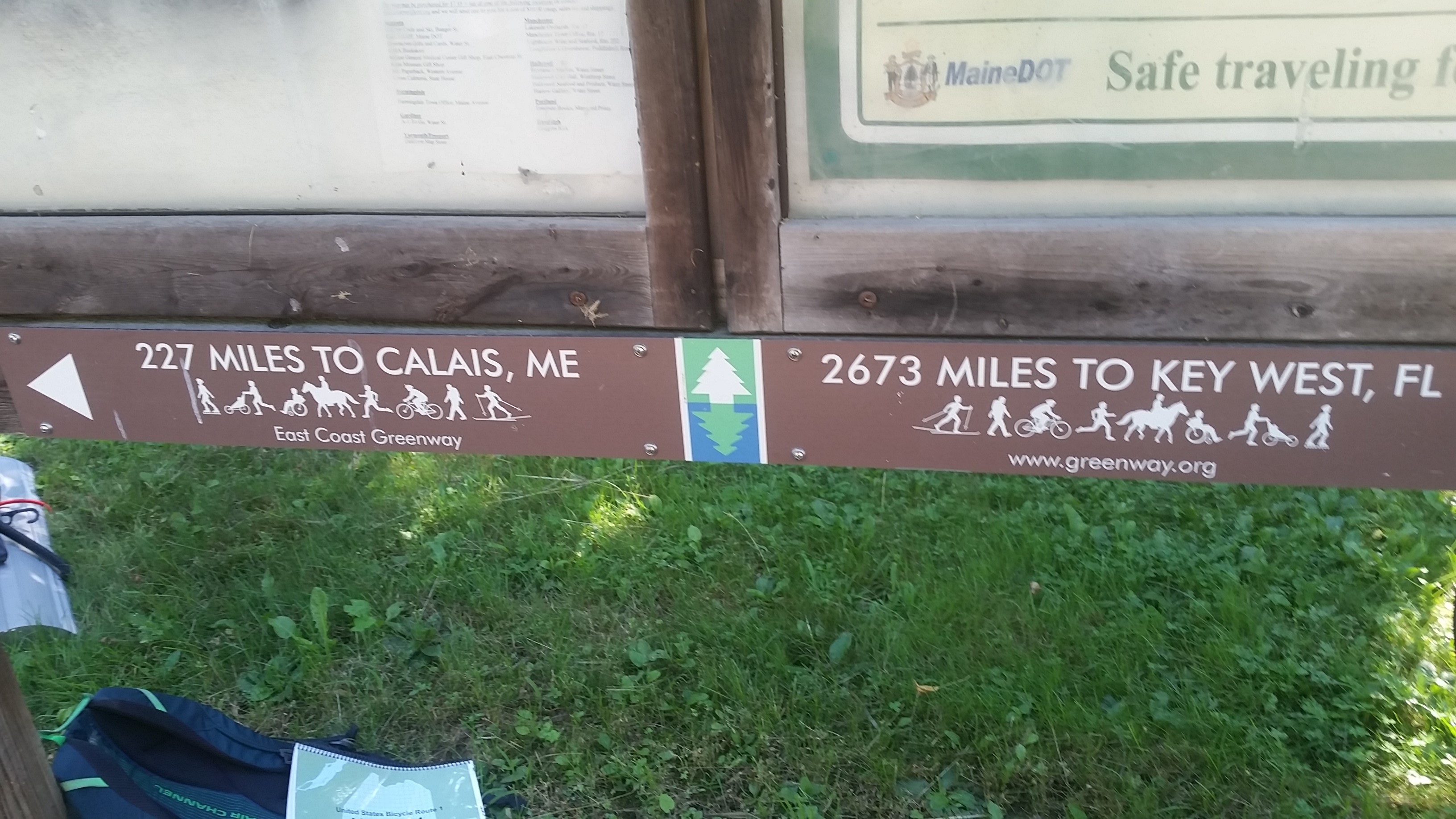
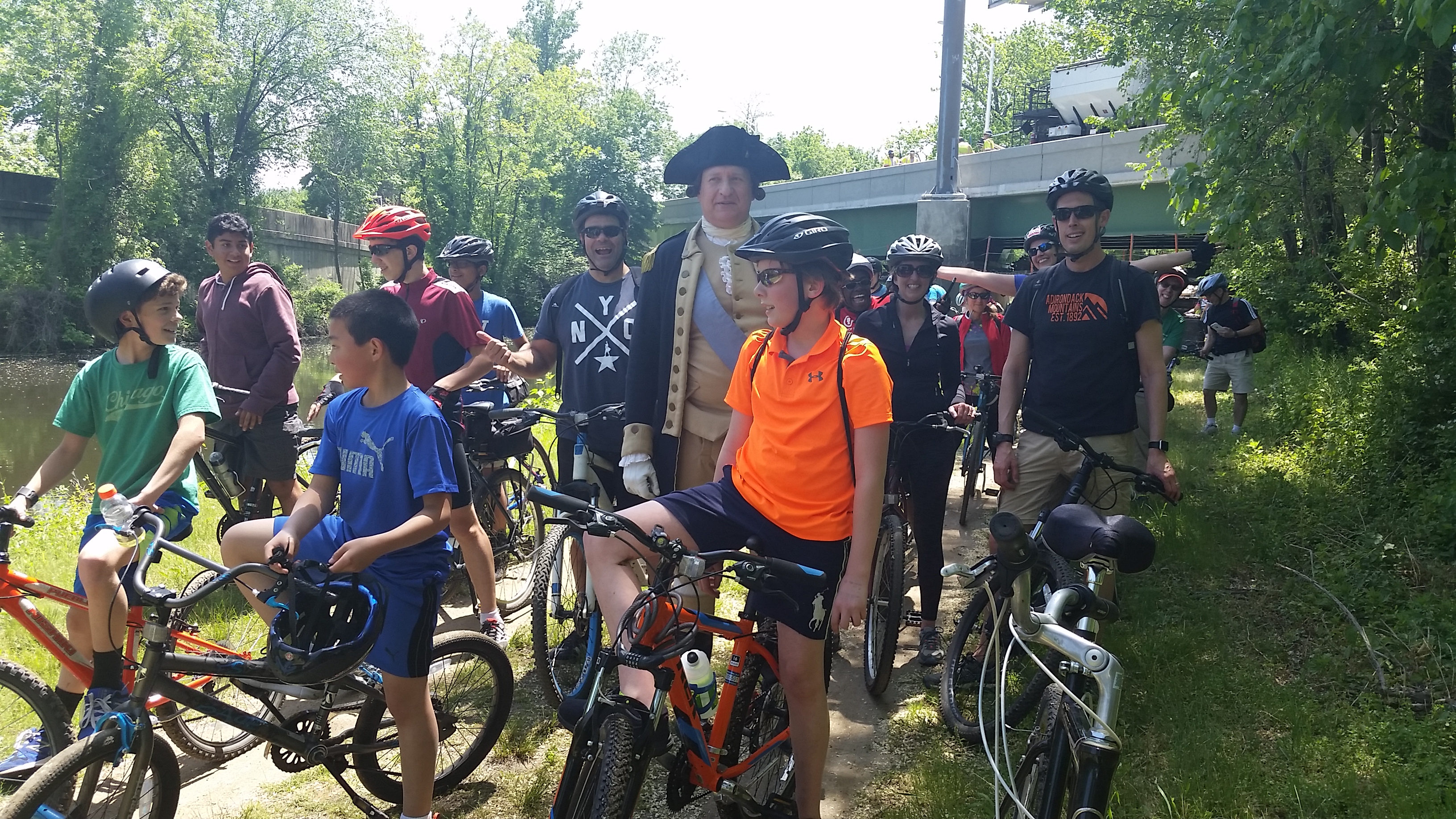
Our route wasn’t historically accurate; we took the D&R Canal towpath (part of the East Coast Greenway), which wasn’t built until the 1830s. The General and his troops had swung wide to give the Brits the slip that night. We ended up near the Princeton Battlefield as part of Princeton’s annual Ciclovia. Too bad it’s held on the edge of town, so attendance is pretty sparse.

But what was so important about these battles? These are the 10 days that saved the American Revolution. And it really was almost at an end. Washington had suffered one loss after another in the New York area and had essentially fled through New Jersey to just across the Delaware in Pennsylvania. Much of the Continental Army had signed up for one year and could go home at the end of the year. And on Christmas night, the army crossed the Delaware, despite the snow and the cold, and surprised the Hessians in Trenton on the morning of the 26th. They won, shocking the British. (And no, the Hessians weren’t drunk). Soldiers stayed on. There was a second Battle of Trenton on Jan. 2 and Washington’s forces held on as night fell. The British planned to finish them off in the morning, but Washington and his troops slipped out of town on a back road heading for Princeton and places north. British soldiers heading south to Trenton spotted them as dawn broke, and there you have the Battle of Princeton. Another win for Washington, and the Revolution was saved.

Want more? Read “1776” if you haven’t already. And catch the re-enactment of the crossing every Christmas Day, take part in Patriots Week in Trenton the week after Christmas and then watch for the Historical Society of Princeton’s own Battle of Princeton events just after that.

The economic impact of Mississippi’s Longleaf Trace

longleaf trace
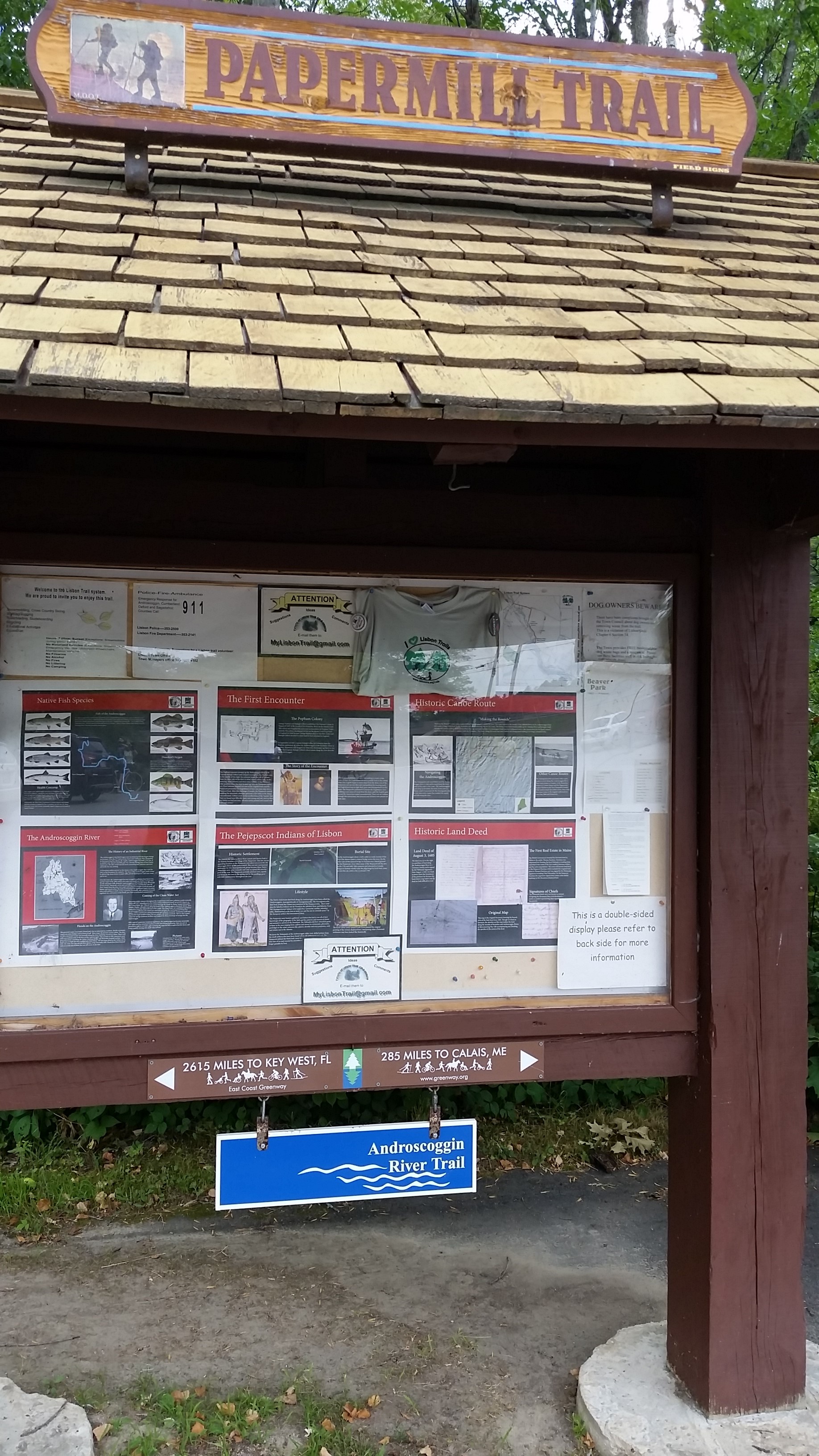
I love hearing about the economic impact of rail-trails because to me, that’s the most convincing argument for a trail. Usually the numbers come from some big study that makes some pretty broad-brush claims.

But here’s information from one bike shop in Hattiesburg, Mississippi, one end of the 43-mile Longleaf Trace.

Before the Longleaf Trace opened in 2000, Moore’s Bicycle Shop was one full-time person (the owner) and a part-timer. Sales in 2000 were $225,000 in a 1,400-square-foot store. A decade later, he had 6,500 square feet of retail space, five full-timers and one part-timer and average annual sales of $565,000.

Here are some money numbers from opening to 2014: more than $900,000 in additional payroll, more than $265,000 in additional sales-tax revenue (including $47,000 to the city) and an additional $96,000 in additional property taxes.

Plus he’s gotten more competition.

And yes, James Moore is a big proponent of the trail and hosted the first meetings to create it. He tells a story of the second meeting, when opponents got wind of it and came out in large numbers. One older man finally stood up and said he buys his car, his clothes and more in Hattiesburg and was happy that the Trace would give him a chance to spend more of his money in his community.

Now having ridden the length of the Trace, I didn’t see many places to spend money in the tiny towns along much of it. The businesses that are there may be doing a bit better (I did see one general store that sells bike lights) and could benefit from some signage telling out-of-towners about food and other services, but the bigger businesses are in Hattiesburg and in Prentiss, at the other end of the trail.

The Trace extended to downtown a few months ago, which should help businesses there. A Civil Rights museum is opening later this year to help tell the story of the Freedom Summer of 1964, when out-of-staters came down to register African-Americans to vote after the Civil Rights Act passed. Hattiesburg was the epicenter for southern Mississippi. The town is also working at connecting schools and the zoo to the Trace. Several miles out of town, there are big plans to develop an area around a pond into a fun place to while away the day,

More could be done: I hope they find a back-roads route so out-of-towners can get from hotels by the interstate to the Trace without having to drive. The Trace’s own website could come into the 21st century, and it would be wonderful to see more about the history of the area, from Indians to longleaf pine to cotton to whatever has come next, along the Trace.

Finally, a random fun fact about Hattiesburg: The zoo is home to two sloths and there’s a four-month wait to get 30 minutes of cuddle time with one. Cost is $40.

43 miles on Mississippi’s Tanglefoot Trail

The Tanglefoot Trail runs from New Albany to Houston.

bikes and butterfliesThis is a rail-trail that stands out for doing the most basic of amenities incredibly well — shelters with running water and real toilets (and even outlets to recharge your phone).

Continue reading “43 miles on Mississippi’s Tanglefoot Trail”

Hopscotching across the state of Mississippi

breakfast concord inn
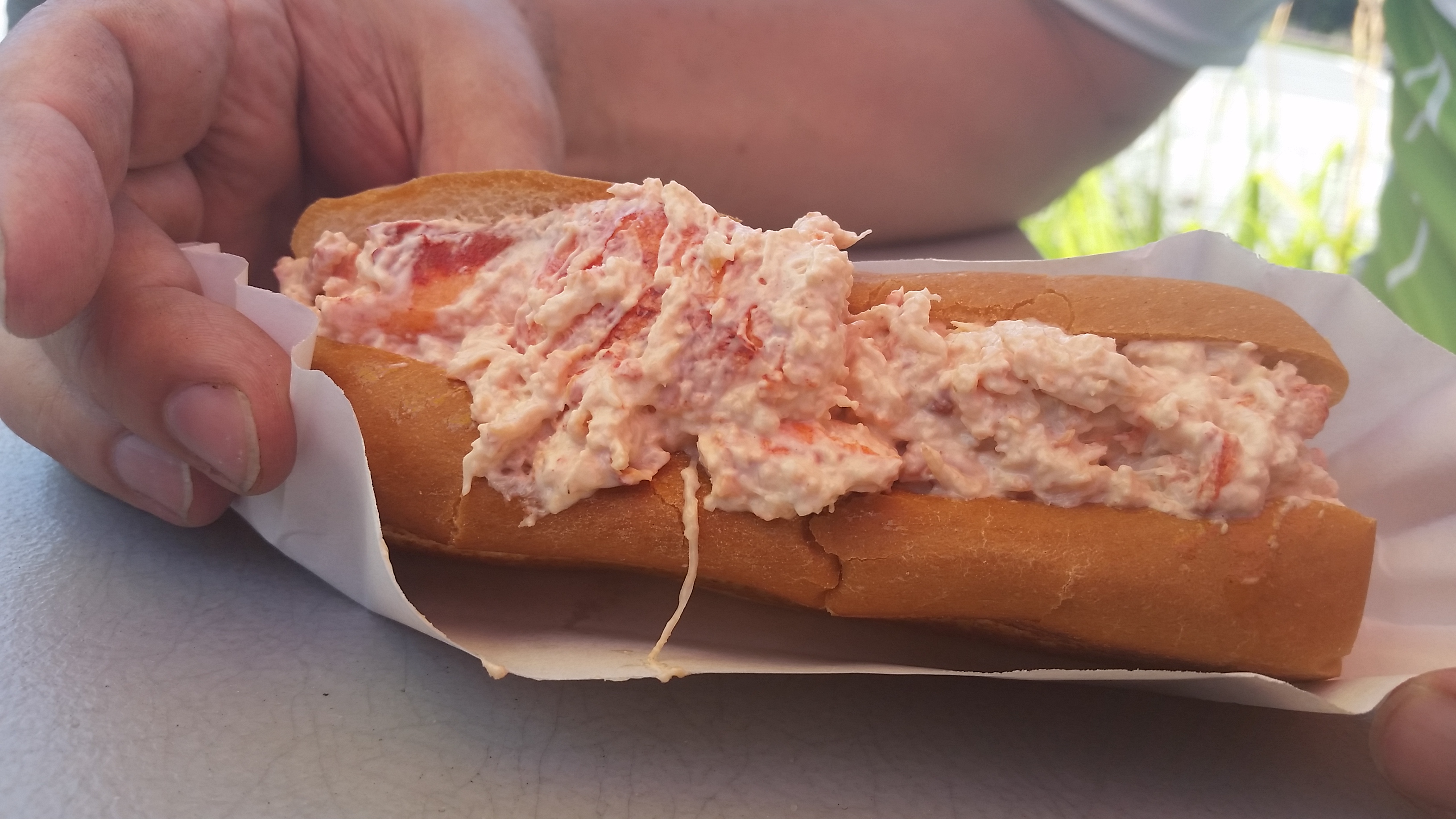
(It’s always about the food isn’t it? Much nicer than my usual style!)

I’m getting away from a northern winter to join a small group exploring Mississippi on a bike. And no, this is not part of the East Coast Greenway.

Now Mississippi is a long state (more than five hours to drive from the state line with Memphis down to the Gulf of Mexico) and we only have four days, so I admit there’s some assists coming via a car. We’re going to skip some of the more obvious tourists sites (sorry Tupelo, Oxford and Natchez) and instead spend a good chunk of time on rail-trails you may not have heard of. And yes, the Natchez Trace.

As a Northener who has spent less than 24 hours in Mississippi until now (and that was only in October), I was shocked to learn this deep-red state has a pretty new 43-mile rail-trail that opened all at once. Quite a feat! Then we hear that the time between the railroad abandoning the line to Tanglefoot Trail opening was just 10 years (eight years if you start counting from the first meeting), and we’re all stunned by the speed. Oh, and it’s asphalt, so a lot more expensive than crushed stone.My town struggles to just put in sidewalks along a road to the train station (we’re starting year 5 – it could happen this year for the first five or six homes.)  And before you ask, 80% of the money came from the federal government (grant). Someone knew how to push the right buttons.

I intend to find out the full story — but I’m already hearing about the trail’s economic impact.

So here’s the basic itinerary:

Day 0: I’m on a rental bike because I couldn’t deal with shipping my bike and then needing to ship it back. But the others have brought their various fold-ups and spend time after dinner reassembling their bikes at a beautiful B&B while I … chat (what a surprise!).

Day 1: 43 miles on the Tanglefoot Trail (New Albany to Houston).

Day 2: 35-mile loop involving the Natchez Trace Parkway from Ridgeland, a bike-friendly suburb of Jackson, the state capital. Then another 27-mile section of the Natchez Trace from Rocky Springs to Windsor Ruins (what a name for a town!). The Natchez Trace is run by the National Park Service and runs from Nashville to Natchez. Until now, it’s the only place I knew about biking in Mississippi, and it’s a 50-mph road.

Day 3: 16 miles around Vicksburg National Military Park (can I just say I love the National Park Service?) and then 41 miles on the Longleaf Trail from Prentiss to Hattiesburg

Day 4: 28 miles along the Gulf coast.

Total is 200 miles, and no coincidence that this is Mississippi’s bicentennial year.

Construction sites along the East Coast Greenway

It’s inspiring to hear about parts of the East Coast Greenway that are now under construction.

trail-construction

I’m just back from the East Coast Greenway summit in Providence, Rhode Island. And while some participants couldn’t hold back on their disappointment over the presidential election, I prefer to focus on the inspiring developments I heard about.

There’s a huge amount of progress in creating the off-road network between Connecticut and Delaware in particular. Some of this is because the governors in both Connecticut and Delaware want the East Coast Greenway to be part of their legacy, as I’ve written before. So projects that have been in development are now close to the ribbon-cutting.

In Connecticut, almost 10 miles of trail will be completed this year and a minimum of another 20 miles next year. I saw many of those Connecticut projects on our long weekend there this summer (that’s where the photo is from), and hearing this makes me feel less disappointed that a Portland-to-Hartford ride will likely follow this year’s Calais-to-Portland ride in 2018, not 2017.

Bonus: a bridge over a highway is to be installed one Saturday night early next year (perhaps in April?) and since the road will be closed, why not celebrate there with a midnight street party? Plans are afoot, and I am waiting on the details.

In New Jersey, momentum seems to be building for two key projects, One is a much better route across the Meadowlands, from Jersey City to Newark, that will be called the Essex and Hudson Greenway. It’s gone from concept to the start of a feasibility study in less than a year, which is just amazing. The other is an off-road road from the Middlesex Greenway in Edison to the Raritan River in Highland Park, on the other side of New Brunswick. That would then link with the D&R Canal towpath. Middlesex County appears to be serious about this, so let’s see how long it takes.

Pennsylvania has 10 East Coast Greenway projects under construction this year (one of them is already done!), and another nine are in planning and engineering or ready for construction next year. One is the extension of the Schuylkill River Trail to Bartram’s Garden. There are projects planned in every county from the New Jersey line to the Delaware line, though I don’t know how much easier an off-road ride from Trenton to Philadelphia will become without more work.

In Delaware, there’s just been the groundbreaking for a trail close to 9 miles long connecting Wilmington to New Castle that will replace a hellish 9 miles of roadway.

A few developments away from the Connecticut-to-Delaware corridor:

  • Rhode Island voters just passed a $35 million green bond that includes $10 million for bike paths.
  • Washington D.C. has just about finished a 9-mile route along the south side of Anacostia River that the East Coast Greenway considers its complementary route. Still to work out is the link back to the National Mall. But when I look at the overall plan for the Anacostia River Walk, I understand the construction boom in Southeast that I saw from the highway on the way back from Raleigh. Trails are an ammenity and help bring economic development!
  • Florida is spending $25 million annually on trails, and East Coast Greenway segments are priorities.

Day 1 — 49.1 miles from Raleigh from Smithfield

I’m back in love with the trails in the Raleigh area.

ecg-raleigh-trail-2Wow, what trails!

I can’t rave enough about the first 20 miles of our ride today. We were outside of downtown Raleigh within a matter of blocks and on a trail in just over a mile. And then we stayed on them for 20 or so meandering miles, at times along a river, at other times along fields (apparently full of sunflowers at the height of summer). Sometimes we saw neighborhoods with a connector to the trail. Lots of boardwalk (so lots of money spent), many short bridges and then some serious ones. It’s all part of the Capital Area Greenway Trail System. We rode parts of the Little Rock Trail, the Walnut Creek Trail and Neuse River Trail into the next county.

This fuzzy photo of a map gives a sense of what Raleigh has to offer — and remember that we rode from Durham to Raleigh via Cary last year primarily on trails too, and I fell in love then. So those red lines capture only part of what the area has to offer, and obviously it’s more than just the East Coast Greenway. But like the East Coast Greenway, it shows the power of connecting trails.

raleigh-trail-map

Here’s a view from the trail:

ecg-raleigh-trail-3

That may look like a harmless stream or creek but clearly it had recently flooded:

ecg-raleigh-trail-5

A view from a bridge:

ecg-raleigh-trail-4

The value of trails couldn’t have been made clearer than when we reached the Clayton River Walk’s trailhead at Covered Bridge Road and had to leave the trail. We had a long, steep-ish hill on a somewhat curvy road with the tiniest of shoulders. One motorist patiently held back behind a few riders slightly ahead of me, and traffic started backing up. The third in line became impatient at one point, pulled out and zipped past the two cars in front. Another thought about doing the same. I was equal with him at that point and the passenger window was open. I could see a car in the oncoming lane and quickly said there’s a car coming. So one mess averted. But I do wish there had been a trail to take us to downtown Clayton.

We hit another lovely (much shorter) trail toward the end of the day — the Buffalo Creek Greenway/Smithfield Neuse Riverwalk. Unfortunately, the local hotels are a few miles away at the other end of town, by the interstate.

Why is today’s distance longer than advertised? A bit of backtracking to reach that last trail — and more backtracking from the hotel to visit the Ava Gardner Museum that tacked on about four miles.

Day 7 — 64 miles from Auburn to Portland

We capped off our week-long ride along the East Coast Greenway from the Canadian border in Calais to Portland with a victory lap around Portland’s Back Bay with an inspirational group from Maine Adaptive Sports. And we saw where a 10-mile trail could go between Lisbon and Brunswick.

ecg maine victory lapWe capped off our week-long ride along the East Coast Greenway from the Canadian border in Calais to Portland with a victory lap around Portland’s Back Bay with an inspirational group from Maine Adaptive Sports.

These are people in wheelchairs, perhaps since they were born, who bike, ski, kayak and golf with the help of volunteers. I chatted with one who started skiing in 1999 and added the other three sports in 2009. He regularly does three loops around the three-mile route, cranking with his arms instead of his legs, on a customized 20-plus speed bike that is built like an upside-down version of an able-bodied person’s bike (except for the seat, which isn’t upside down, of course!) and just flies down the descents. He’s now a mentor to others who join the program.

I hope this is the first of many ways the Week-A-Tour reaches out to groups beyond the local trail advocates.

Watch this one brief TV clip about it.

ecg maine lisbon trail

Another highlight of the final day was a beautiful three-mile trail in the Lisbon area, at least part of which is known as the Papermill Trail. It went by schools and dropped us off in a residential area at the edge of Lisbon. Once again, we rode through woods and along the river — what a wonderful way to bike to school!

ecg maine papermill trail

When the trail ended, we found ourselves on the shoulder of a road with fast-moving traffic and of course climbing a few hills. And I could see a rail line in spots along the river (flat!), with weeds that aren’t kept in check by freight trains. It turns out that stretch of many miles from Lisbon to Brunswick on the other side of the river is abandoned — and owned by the Maine Department of Transportation. The state, however, doesn’t want to convert it to a rail-trail because it sees its mission as preserving it for future rail service. Fortunately, it is open to a rail with trail, and I will thrilled to hear of progress there. And yes, the old railroad bridge is still up.

As we left Bruswick (home of Bowdoin College), we stumbled across a very popular farmers market. It’s in a field just outside town, with lots of cars pulling in and out and parked along the road — not the most family-friendly bike ride to reach it. It really could use a multi-use trail alongside the road.

ecg maine brunswick farmers market

But there are bike racks, and they were pretty full (not just with a good number of our group!). We fell into conversation with a family of four at the nearby picnic table. The mother lamented how difficult it is to find a place to take the kids biking (the youngest son is about to start first grade). Seems kind of odd since Brunswick is a bronze-level Bicycle Friendly Community, according to the League of American Bicyclists, but that says a lot about how families define bike-friendly (and how well or not the word gets out about area trails).

I encouraged her to drive out to Lisbon for those trails (such a shame you have to say drive to bike) — but of course also had to fill her in with what I knew about the saga of that abandoned rail line.

From the moment we got on the Lisbon trail until we crossed the river into Brunswick was 13.5 miles. Imagine if it was all trail — so there was an alternative to those 10 miles of road. OK, it might be a little shorter and more direct, but you could organize a half-marathon from Lisbon (the schools?) to the Brunswick waterfront or Main Street. Double back and you’ve got a marathon. The training routes runners would have!

Imagine the bike rides locals would do, with a stop for a snack at one end. And how families could get out and ride without worrying about cars speeding by with nothing but a line of paint to separate the two. There’s an Amtrak station in town — think cyclists coming up from Portland or beyond. What an impact that could have!

Peter Garrett, trailbuilder extraordinaire

One of the great things about the East Coast Greenway Week-A-Year ride is meeting passionate volunteers. Peter Garrett is one of those.

peter garrett plaqueOne of the great things about the East Coast Greenway Week-A-Year ride is meeting passionate volunteers. Peter Garrett is one of those. This soft-spoken Brit has lived in the Waterville area for nearly 40 years and has spent more than a decade building 40 miles of trails in Waterville, Winslow and surrounding towns for the astoundingly low cost of about $2.5 million (this article says $4 million, which is still cheap).

Peter has learned to be both patient and persistent. As he took a group of us along the Rotary Centennial Trail and the connecting East Kennebec Trail, he told us how his group, Kennebec Messalonskee Trails, asked the railroad if it could buy some land along the river that was no longer being used. It was told no .. and several years later, the railroad donated the land. Now I’m sure he left out a few details of how this gift came to be, but it is now a flat, grass-covered trail mowed by a volunteer we were introduced to.

If I’m remembering right, not only was the land donated but the company put up a fence at its own cost (rather than requiring the trails group to pay for it) to separate the trail and company land.

The surface on other parts of the trail was hard-packed soil or crushed stone, all at least as smooth (and sometimes more so) than the D&R Canal towpath near me that is a long section of the East Coast Greenway. Certainly none of that reddish-brown dust that caked my bike a month ago! And it was lovely to be in the shade (something we appreciated even more as we biked down U.S. 201 with none) and get a break from hills.

Peter is second from left

It got me thinking about what makes a good trail, and what makes a good trail segment for the East Coast Greenway. I don’t claim to be an expert, and I certainly don’t have the educational credentials. But that’s not going to stop me from offering my thoughts.

I thought: who is this for? As a cyclist, I think of the East Coast Greenway one way, but it’s also for runners, walkers and more. And even among cyclists, road warriors would look at it one way (they stick to the roads), touring cyclists another and recreational cyclists yet another. Do I personally prefer paved? Yes, because my road bike likes that better, though I then curse the bumps created by tree roots. Still, I took it on unpaved trails in Connecticut. I just can’t go as fast (and probably shouldn’t even on paved trails, the better to share with walkers and their dogs). But my hybrid can take anything. And give me these surfaces over the C&O Canal! I liked these trails.

If I was hiking a section of the East Coast Greenway, I would love this. There were scenic vistas and even a place to sit and eat. If I was running, ditto. And we saw a woman running alone, a sign that safety isn’t a concern. Is it wheelchair-accessible? Certainly the area where we exited isn’t — too steep, perhaps, and I would definitely pave it to avoid deep ruts from the rain flowing downhill. (We walked up — but that was no more than 10 yards.)

Can't miss this! This is where we exited.
Can’t miss this! This is where we exited.

You can see only a tiny bit of the fence on the left. It’s an automated gate put in by the business next door (the railroad? remnants of the paper mill?) to keep trail users from parking on its property. Peter tells the story better, but it seems like more proof of how this community group works well with others.

I like that the trails connected to the schools. Does it mean it meanders a bit for a through-rider? Yes. But the added distance really isn’t much, and you could have jumped back onto the road for what I expect is less than half a mile if you wanted to skip that.

Peter’s trail is an “orphan” trail and not part of the main route. But given that tourism and the economic boost it provides are among the selling points for this national trail (and, of course, encouraging exercise as part of a healthy lifestyle), it seems to me that if it doesn’t become part of the main route, it should be listed as a loop or spur. The same goes for Donna’s Air Line South trail and the Lawrence Hopewell Trail near me. After all, the more there is to bike in one area, the more likely you are to linger or plan a weekend around it.

Peter’s group has great ambitions to connect to the Waterville side of the river using old bridge pilings. It’s a long way across, but given what this group has already accomplished, my money is on this one day happening.

ecg maine peter bridge to come

The route that exists today led us to the Two-Cent Bridge, an unusual pedestrian suspension bridge that is more than 100 years old — and which Peter and co. got fixed up and re-opened. The name comes from the two-cent toll to cross the bridge.

ecg maine two cent bridge

Look at the fun sculpture (wearing my bike helmet) and bike rack on the Waterville side!

ecg waterville sculpture

ecg waterville bridge bike rack

Not only did Peter show us his trails, but he played tour guide from Unity to his trails, entertaining us with little stories along the way.

If you like reading about passionate advocates, I’ve written about others here and here.

Day 6 — 50 miles from Augusta to Auburn

We rode on two trails today — the Kennebec River Trail and the Riverside Greenway in Lewiston.

ecg sign augusta maine

Today started and finished on wonderful trails. In between were mostly quiet roads, that evil 15% grade on part of a two-mile climb and a press event with the Maine Department of Transportation. Oh, and a lobster roll at a hole-in-the-wall. Properly toasted, unlike the one at the non-descript deli on Day 0 in Portland.

It was hot again, but we seemed to have more shade and the day didn’t end with a brutal climb. All told, we “officially” climbed 1,816 feet (but descended more — yay!). We pretty much behaved ourselves — no crazy detours today. And once again thanks to another wonderful SAG who kept us well-supplied with water.

The Kennebec River Trail in Augusta was lovely, with the river on our left and taking us blissfully traffic-free (and hill-free!) about 6 1/2 miles to Gardiner. It’s somewhat unusual in that it’s a rail with trail, rather than a trail on a former rail line. Notice there’s no fence between the rail and the trail.

ecg kennebec river trail with rail

This photo of two Kennebec Trail users comes from a fellow rider. The mother is 90 years old. Her daughter can’t walk. Just two reasons why we need more trail!

ecg kennebec river trail users

Before we took off on the trail, we met with Maine DOT to thank them for their support of the East Coast Greenway and for the wayfinding signage we’ve used for much of our trip. (Once again, the route essentially overlaps with U.S. Bicycle Route 1.) Watch the local TV’s station report here and read the short AP story that somehow is illustrated with a photo from my blog.

Here’s an impressive theater in Monmouth — too big to fit into my photo! With an impressive list of productions for the summer season. And the town has just 4,100 people.

ecg monmouth theater

At the end of our ride was the Riverside Greenway in Lewiston, with the Androscoggin River on our right, before we crossed over to Auburn and our hotel:

ecg riverside trail lewiston

Food picture of the day is my $8 lobster roll, with nice chunks of lobster:

lobster roll in monmouth

What else I’ve learned about food in Maine: For ice cream, Gifford’s trumps Hershey’s. Much better range of flavors. And not much cookie dough in the Hershey’s ice cream version.

One more day to go — hard to believe this bike adventure is almost over.


Ready to ride!

We’ve made it to Calais. Now the biking starts.

ECG group and the school bus

We’ve made it to Maine — and taken the five-hour(!) ride in a school bus to Calais from Portland. I was last on a long ride in a school bus in Alaska — and before that to corn detassle as a teenager in Indiana.

But it gave us lots of time to get to know each other. One rider is from Maine (another Maine rider joined us at dinner), and another is from Florida, and the rest of us are from Pennsylvania north. There are quite a few who are on their first East Coast Greenway ride.

As we went up and down the hills on Highway 9 between Bangor and Calais, the group started wondering about Sunday’s route. We knew it would be hilly — but this hilly? Should we have come with fatter tires after all and taken the Down East Sunrise Trail, with its imperceptible 1% grade? Maybe a third of the group has planned to take the trail. One person even brought a second set of tires, so she could swap out for something more road-friendly after two days. Why didn’t we do that?

At least it’s only a 46-mile day.

The Down East Trail is the longest trail on the East Coast Greenway, at around 85 miles. The nonprofit that runs it is now finishing up an extension into Ellsworth, the gateway to Acadia National Park, and is envisioning an extension in the other direction, into the Moosehorn National Wildlife Refuge. Pull out and sell the rails to build the trail seems to be the way it’s done.

And just how isolated is this eastern part of Maine? Our bus driver said you wouldn’t take this highway in the winter because of the snow — you’d stick to the coast. He pointed out signs with the letters TWP and a number. That’s how areas of forest and or other “town without people” get identified in rural Maine. We went through an area where there used to be a lot of logging and paper mills, but there’s much less of that here. A few homes, small — small — grocery stores (think the size of a trailer), one little elementary school and lots and lots of forest and not much else, until we finally saw a sign for a proper supermarket … 7 miles away. That would be in Calais, a town of about 3,000.

And between Calais and Machias? We’re heading out with boxed lunches because there’s nowhere to buy food.