
I shocked a few of my neighbors when I said I was biking to Philadelphia this past weekend. It takes an hour to drive using I-95 so it seems crazy far to bike … and besides, how would you go?
OK, it was 50 miles on Saturday, 58 on Sunday. One day for the Pennsylvania side, one for the New Jersey side, using parts of the Philadelphia area Circuit Trails network.
We’d biked sections of the two routes so what we really wanted to know is which way is better.
The answer?
There are pros and cons to each, and both have messy bits. If you forced us to decide, you’ll get different answers. It may depend on the mix of urban and industrial riding you prefer. And was traffic on Easter Sunday morning too atypical to fairly evaluate one route?
We had hoped to head to Philly on Good Friday, but it was too cold. Plus I was offered a COVID vaccine, so even if it had been a gorgeous day, it would have been hard to say no to the shot.
So three of us headed out on Saturday morning, waiting until 10 am to start because it was still chilly and who says you have to be tough? We planned to follow the East Coast Greenway route, so we picked up the D&R canal towpath at Washington Road in Princeton. Ten easy miles later, we were near Trenton’s Battle Monument. The canal towpath peters out here, so even though you still see signs for Delaware and Raritan State Park (the towpath), I’d suggest switching to the road (Warren if you are southbound). The goal is to pick up Capitol Street and the East Coast Greenway route at Calhoun Street, right before the Calhoun Street Bridge that takes you across the Delaware River to Pennsylvania. The approach to the bridge can be confusing, so watch which lane you need and jump on the sidewalk if needed. You’ll have to walk your bike across the bridge.
Just after you cross the bridge, look for the red D&L sign kind of diagonally ahead to your left, right after some public restrooms (open during non-COVID times). And then you’re back on the trail.
OK, officially there is a gap soon after and you need to take a road detour, rejoining the trail behind a Quality Inn. In the past we’ve kept going until the trail dead-ends by a car repair place (now a distillery?), crossed the road and taken our bikes down the stairs and to the trail. I admit we chickened out on the road when we couldn’t tell exactly where we needed to go (the right turn is just before the turnoff for US 1) and ended up back at the stairs.
2023 update: I’d now say stay on Warren Stret through downtown Trenton and follow it as it curves right to become Bridge Street. Take the Lower Trenton Bridge (“Trenton Makes” bridge) across the Delaware River. Turn left at the second traffic light onto Pennsylvania Avenue. Right before the Route 1 on-ramp, take the road/entrance to the Quality Inn. There’s a very short unpaved path at the back of that road to the D&L.
But think of it as another 10 miles of trail until you reach Bristol. We’ve previously biked it and bit beyond on a search for “weird beer” — and thanks to a few gaps that have been closed, it’s infinitely better than the route we took to Philadelphia several years ago.
Lots of points for these 20 miles of trail.
State Road was a concern, particularly going through Bensalem, but we were pleasantly surprised by the shoulder. That’s a five-mile stretch.
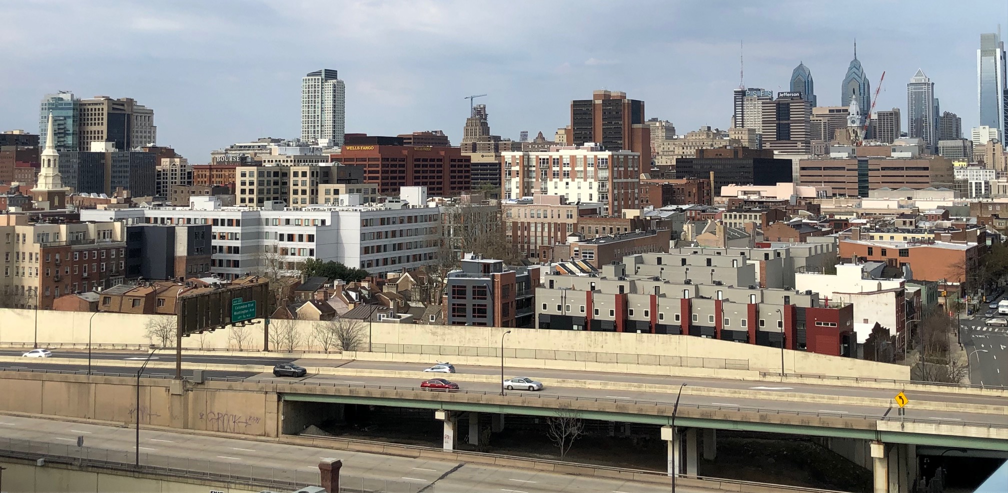
Shortly after entering Philadelphia, we left State Road and headed to Torresdale Avenue. A big plus for the bike lane on this road. But I felt we hit just about every possible red light, seemingly every block or two. Take points off for that. Would a parallel residential road with stop signs be better?
Now if you were biking on a Saturday or Sunday in June, July, August or the first two days of Labor Day weekend, you’d have a different option: the sidepath on State Road from Linden Avenue to Pennypack Street, then Pennypack Street to the Baxter Trail and into Pennypack Park on the Delaware. Long saga, but until the Baxter Trail is open 365 days a year (or close to it)…
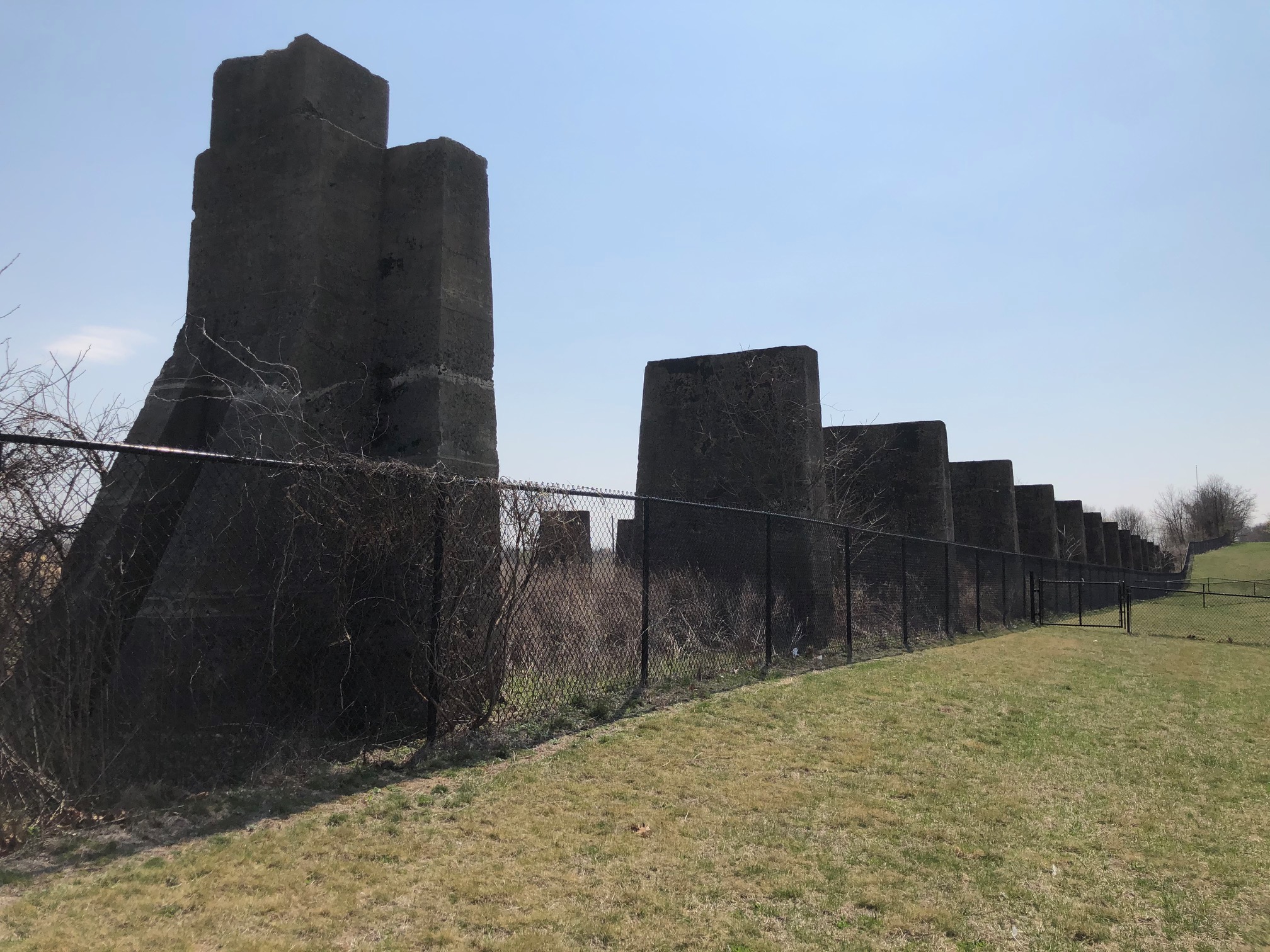
We left Torresdale at Unruh Avenue to head to a trail along the Delaware River. Big points for the trail. Unfortunately, the K&T Trail ends at a dilapidated bridge … but that will change around 2026 when the bridge and the Delaware Avenue extension project are built as part of a mammoth I-95 reconstruction project. Then you’ll have many miles of trail until General Pulaski Park. (Here’s what I’ve pieced together about that.) It will be amazing. Until then, though…

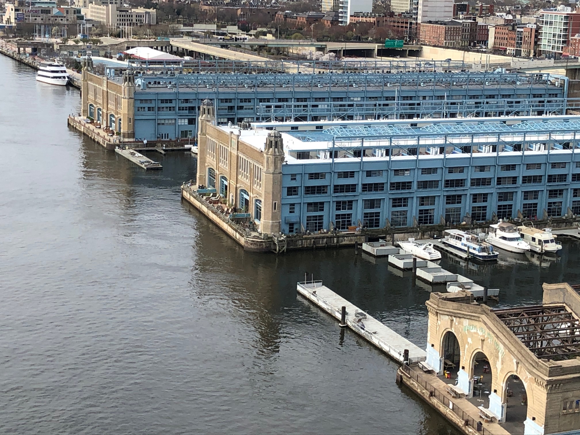
The plan was to go back up to Torresdale on Comly Street. But we deviated from our plan, so we can’t truly evaluate the rest of the East Coast Greenway route we were going to take. I’ll just say we had some messy bits until we reached Orthodox Street and headed back to the river and picked up the existing Delaware Avenue trail. Long and pleasant! Lots of points for this.
When that ended, we stuck to our route but had more messy bits until we got to Penn Treaty Park and a trail that takes you around the casino. Some of this mess is construction-related, but I’d say the Pennsylvania option loses plenty of points here. Oh, and there’s plenty of glass too. I’m surprised no one had a flat. More points lost.
After the casino, the East Coast Greenway route takes Spring Garden to the Schuylkill River. But we were headed to South Philly. We’d hoped the new Delaware River trail along Delaware Avenue would be close enough to done that we could take it, but alas, it was the bike lane for us. But soon — a few months? — this will be an awesome route for anyone headed to South Philly, almost all the way to Ikea.
Here’s the route on Ride With GPS starting at the Princeton Junction train station and ending at Spring Garden. I couldn’t adjust the route by Battle Monument for some reason, so use your judgment.
So what about the New Jersey option?
That was Sunday’s ride, and the first step was to get ourselves onto the Ben Franklin Bridge. Sunday morning traffic plus Easter morning traffic … no stress. The stairs on the NJ side are gone so points for the easy ramp.
I know Camden gets a bad rap, but the route we took, using the on-road Camden Greenway, was fine. It’s the same route we took from Trenton to Camden in November but in reverse, and I’ll take it over Torresdale stop-and-go.
Then we started going through industrial areas following River Avenue/River Road. Those 5 1/2 miles or so were fine on a Sunday morning — but what would it be like during the week?
After some residential streets that could use some repaving, we were back on another main road for less that four miles. Easter traffic was more pleasant than what we encountered heading south on a Saturday afternoon a few months ago. Plus we found some parallel roads. Perhaps we could have gotten rid of about half of that section of main road — but it’s easier to do if you’re headed north. Take off some points for this.
Riverside, Delanco … we’ve ridden this before and stuck to the main road in these small towns, which was fine, but residential streets would be nicer. Beverly, Burlington along the river .. all good. Then we hit the big Amazon warehouse north of Burlington … what would traffic be like during the week? Some sidepaths, but uneven. More industrial until we reached Florence and Roebling.
Fun historical fact I learned only later: the route through Burlington goes within a few blocks of 309 Wood Street, where General (and later President) Grant moved his family in 1864. It’s privately owned, so all you can do it bike by.
Ah, Roebling. Once the site of a giant factory for the company that built the Brooklyn Bridge, there’s now an amazing new trail — part of the Delaware River Heritage Trail — that goes to Crystal Lake Park. Every time I’m on it, I’m in love. Big points for this, and it goes for more than 5 miles.
Then a stretch of road to Bordentown, another lovely town, and the 3 1/2-mile orphan section of the D&R Canal into the southern end of Trenton. Now that we know how to go from there through a park to the minor-league baseball park, it’s easy to get to downtown Trenton and back to the D&R Canal towpath around Battle Monument. Then it’s an easy 10 miles or so back to Washington Road in Princeton where we turn off. (Here’s the Ride With GPS route from Independence Hall to the Princeton Junction train station.)
Still, it’s not quite as long as almost 20 miles of uninterrupted trail that we had on the Pennsylvania side. Another big negative for the New Jersey route is that it’s nearly 8 miles longer because of the big semi-circle the Delaware River makes from Florence to Trenton.
But both routes felt as flat as a pancake … the biggest “hill” was the Ben Franklin Bridge. So take your pick, because we have a split vote on which is better.

8 thoughts on “Two ways to bike from Princeton to Philadelphia — which is better?”