My take on the East Coast Greenway from Trenton to Philadelphia

Here’s what it’s like biking on the Pennsylvania side. The New Jersey side is another option.

UPDATE: The section from Trenton (well, Morrisville) to Bristol is dramatically better. Read about our 2019 ride to an award-winning brewery using the new East Coast Greenway route. 

ALSO: There’s some nice riding on the New Jersey side from Trenton to Camden.

I’m going to be blunt: This stretch of the East Coast Greenway is desperately in need of improvement — i.e. trails. I’m told that’s coming, but for now this is a one-star section.
This is a saner section.

Three of us rode from Trenton to Philadelphia on Sept. 15, 2017 as part of the East Coast Greenway’s River Relay that covers the entire 3,000-mile stretch: 25 years of East Coast Greenway, 50-plus rivers and one Greenway.

This was all urban riding– no trail, no suburban residential streets, nothing to give you a break from city biking and city traffic. To be honest, our “Portugal to India” ride, from Newark to Metro Park and then onward to New Brunswick was more pleasant and more interesting — and that’s not something most people associate with North Jersey, let alone Newark.

We started out from downtown Trenton aiming for the Calhoun Street Bridge. At one point, I thought we were headed for a busy highway, but the road forks in an odd spot and dropped us on the bridge. Chaotic Jersey road design and signposting, I thought…

At least the view of the Delaware River from the bridge was pretty:

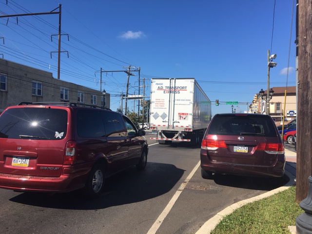
On the Pennsylvania side, we picked up state Bike Route E (as in East Coast Greenway) … but don’t be fooled. This is hardly great bike infrastructure. Oh, it started out OK. West Trenton Road looks like a main suburban road, but it’s wide and there wasn’t much traffic. After several miles, though, we were on State Road 413. This is for hardy cyclists only; think wide, major road with strip malls, plus crossing an intersection with a road leading to Interstate 276 and of course traffic coming off the interstate too. Drivers saw us coming, so nothing scary happened. I know this is the reality of a route that connects cities rather than sticking to the middle of nowhere — there is always a bad stretch. The good news is that the route will look very different in four years when some projects are finished (pardon my cynicism when I bet it will be 6). Certainly the map showing the future ECG route looks much more appealing.

2019 UPDATE: The remaining obstacles on the D&L trail between Morrisville (opposite Trenton) and Bristol have been removed this year. It’s now a clear trail for 10 miles — and you stay off what we experienced above. Here’s a report of our 2018 experience.

2020 UPDATE: More trails under construction now!

I just kept wondering who’d get a flat from the junk on the shoulder.

So I was quite surprised when Bristol Pike — U.S. Highway 13 — turned out to be far nicer. For one, it was freshly paved. And there was a bike lane. It even felt fairly sane. I thought we’d be cruising.

But then one of us got a flat. Yes, of course it was the rear wheel. We pulled over on the sidewalk in front of a used car dealership to swap out the inner tube. The two men working there wandered over to see what was up. They nicely offered us water, use of the restrooms … but also gave us a different perspective on Philadelphia.

Business is slow, I heard, and it’s due to the bad economy — in this case, too many drugs. And these days, drugs means opioids and heroin. We apparently had just gone through a town with lots of (unregulated) halfway houses for addicts who had gone through substance-abuse treatment and were not far from a north Philadelphia neighborhood that he described as the epicenter of the opioid crisis. He never went into Philly without his gun, and he warned us to be careful. We thought he was a bit OTT and we certainly weren’t going to go find ourselves some guns.

Not that our route went through that part of town anyway. We stayed pretty close to the Delaware River but only once actually saw it. That was when we did our special Relay task and collected our sample of Delaware River water in Pleasant Hill Park. We found a bit of trail … but then it’s blocked by the Police Department not wanting anyone near its gun range (not that we heard any shots). Also OTT.  This says safety upgrades would mean that section would open in the summer of 2017, but obviously that hasn’t happened. (We did make it through that blocked section in 2018, known as the Baxter Trail — it’s now open on weekends only in the summer.)

Collecting water samples from the Delaware River

Apparently there are a number of unconnected trail segments along the northern Delaware River, and I’d hoped we’d have been able to ride some of them. But nope. Gaps supposedly will be closed in the coming years. Certainly the people of north Philadelphia deserve more trails as well as access to the waterfront. And the East Coast Greenway would have a more direct and scenic route that also would serve riders of all abilities.

And so we stuck to city roads, biggish ones like Torresdale, Frankford and Aramingo, moving away from the waterfront and then back toward it, finally reaching hipster Northern Liberties. Then it was onto the bike lanes on Spring Garden to the Schuylkill River and the train home. Total mileage, including getting to and from our train station and then from the Trenton station to the start: 44 miles.

Did we miss something that would have made the ride more rewarding?

Thank you, East Coast Greenway and Bicycle Coalition of Philadelphia, for working to create new trails and upgrade the route. Thanks, too, for the bike lanes we found! And thank you Riverfront North for doggedly working to make the waterfront accessible to all from the Philadelphia county line to the Frankford Boat Launch, and the Delaware River Waterfront for picking up the trail work there headed south.
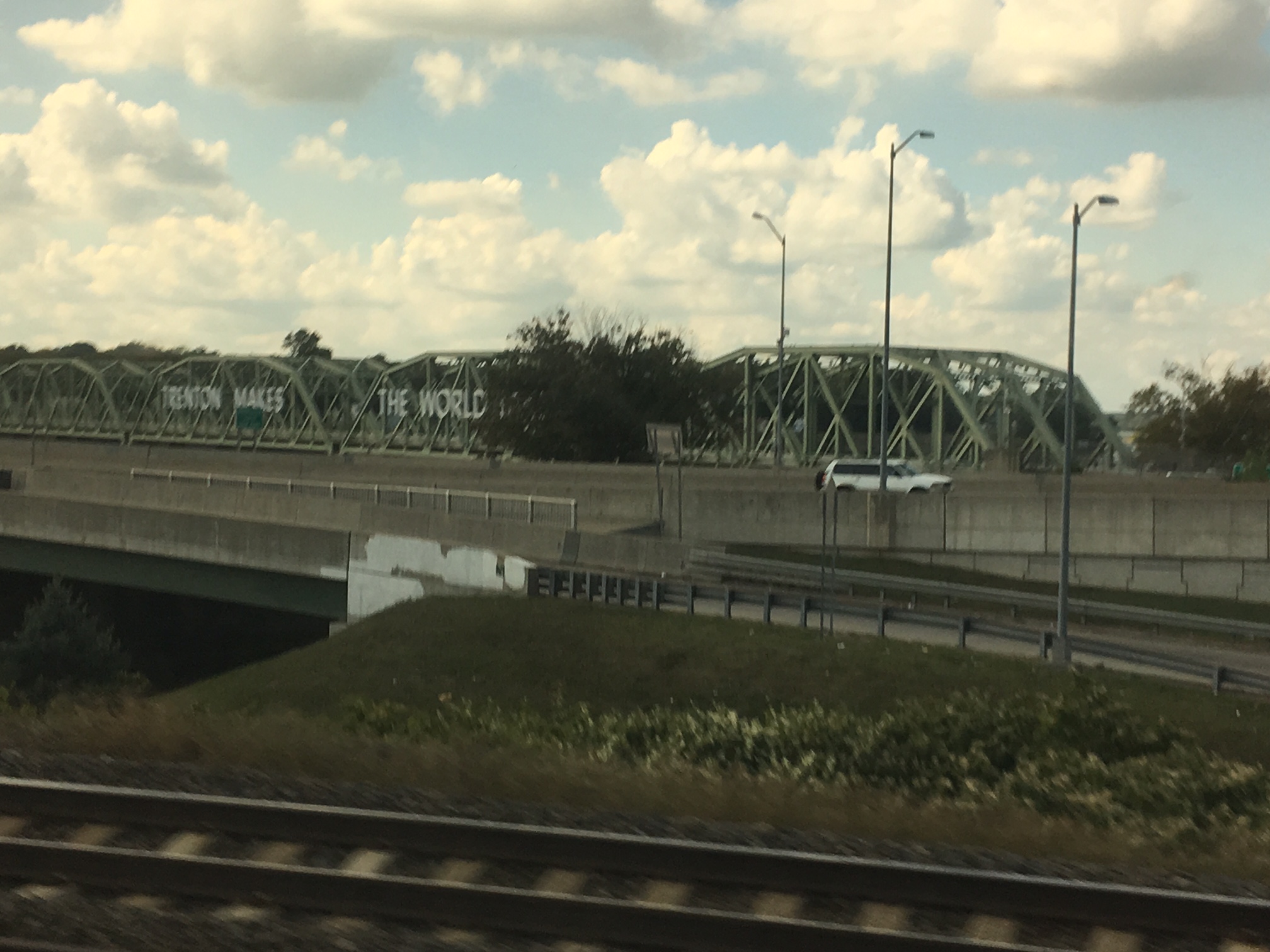
“Trenton Makes, the World Takes” — or at least it used to be that way

What’s is like if you stay on the New Jersey side down to Camden and then cross the Delaware using the Ben Franklin Bridge? Here’s how to do it.
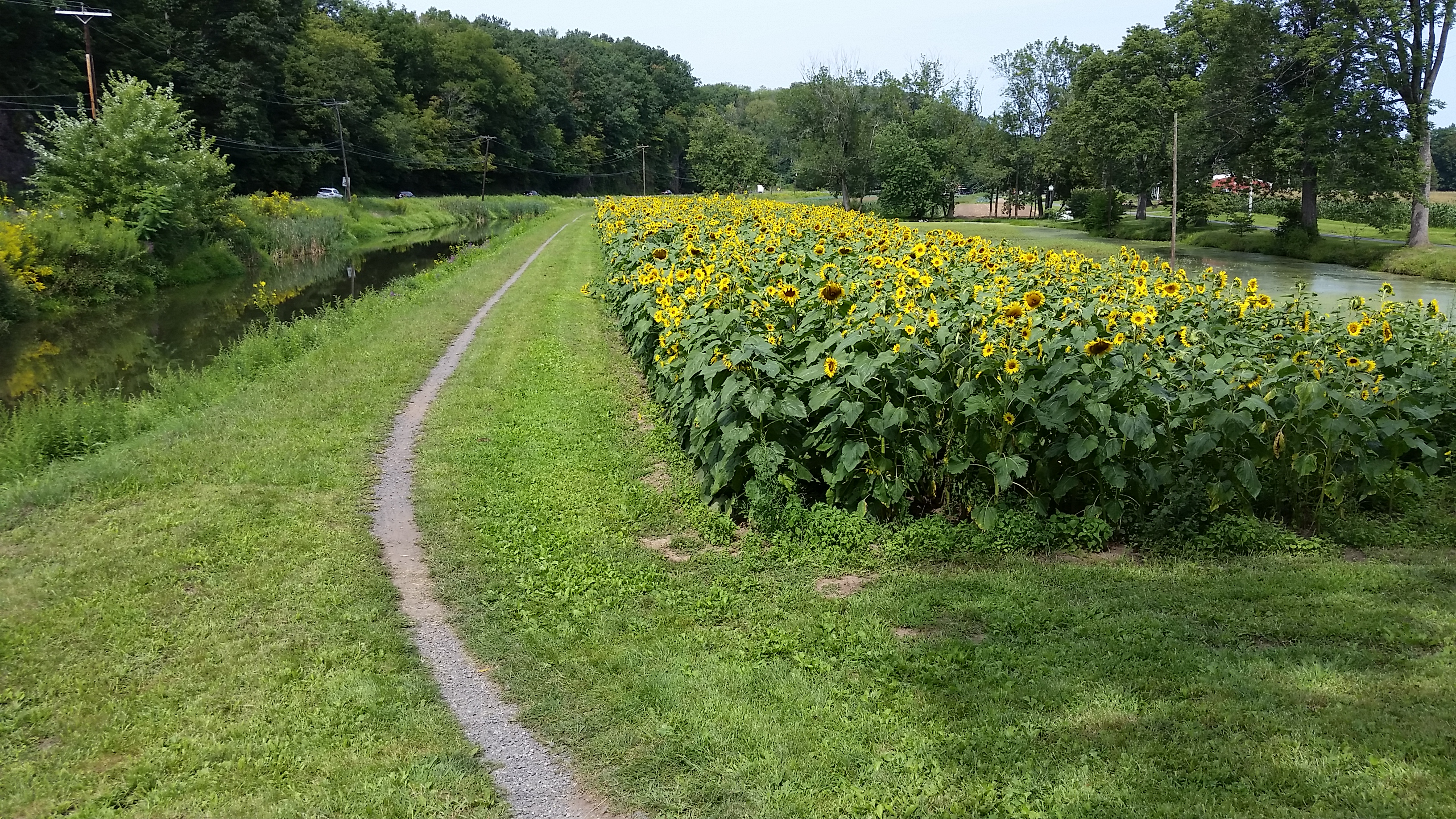
Single-tracking along Pennsylvania’s Delaware Canal and the D&L Trail

Time to experience the Pennsylvania side of the Delaware River.

d&l single trackWell, only some of the time.

But the trail on the Pennsylvania side of Delaware River (it’s actually along the Delaware Canal, which runs parallel to the river) is quite different from the one on the New Jersey side, to say nothing of the Delaware & Raritan Canal towpath from Trenton through Princeton and to New Brunswick. Continue reading “Single-tracking along Pennsylvania’s Delaware Canal and the D&L Trail”

Following the footsteps of George Washington … and his spy

A historical and family-friendly bike ride from Rocky Hill to Griggstown, home of that “notorious Tory spy” John Honeyman. Or was he really a spy for George Washington.

Time for another history-themed bike ride in New Jersey.

Continue reading “Following the footsteps of George Washington … and his spy”

A bike ride from Portugal to India without leaving New Jersey

We ate our way around the world on this 46-mile jaunt through northern New Jersey.

Northern New Jersey may be the last place you think of for a bike ride: densely populated urban areas with way too much traffic (and potholes) to make a cyclist happy.

This East Coast Greenway adventure showed us we had it all wrong. And it highlights just what a melting pot this state is.

Continue reading “A bike ride from Portugal to India without leaving New Jersey”

Another section of New Jersey’s Lawrence-Hopewell Trail is done

We discover more of the Lawrence-Hopewell Trail on a 20-mile ride that includes a few miles on the East Coast Greenway.

One of my longer bike rides over the past week was along part of the Lawrence-Hopewell Trail, a non-quite-finished 22-mile loop off the East Coast Greenway just south of Princeton.

We usually take the D&R Canal towpath (part of the East Coast Greenway) for about 5 miles to the turnoff to Brearley House and then ride past the Lawrenceville School and through Mercer Meadows, a big county park — basically going clockwise on the loop. This time we decided to go counterclockwise because we knew there was a section through the Carson Road Woods that we’d never been on.

Before we got to that, though, we found another section that’s been finished — a sidepath along Province Line Road. It’s the red dotted line in the upper right of this map, and its completion means the trail is 88% done. (See the full map here.)

I don’t have any photos, unfortunately, and it really seems like nothing glamorous —  basically a wide asphalted sidewalk right at the side of the road, with no little strip of green acting as a divider. But it’s a key connection on a road that’s busy at rush hour and where motorists go fast at any time. One person I know grumbles about the drainage grates running across the sidepath every so often … and I could do without the rocks around them (probably also for drainage — UPDATE: driving by, that looks like it’s been covered). But it’s a big step.

After all that excitement, we rode the trail on the edge of a Bristol Myers-Squibb campus to reach Carson Road Woods. It has five miles of marked trails, including one mile that’s part of the LHT. Our route felt more meadow-y than the heavily wooded Maidenhead Meadows trail, another new section (for us, at least) near the start (the green dots leading to the parking sign on the map).

After Carson Roads Woods we rode through a neighborhood to Rosedale Road, where we’d seen an LHT sign but had no idea where the trail was. Now we know — neighborhood roads, then trail.

Had we continued on the LHT, we’d have gone through the ETS site, using a trail we’ve previously ridden. Instead, we turned toward Princeton and then home.

All in all, a 20-mile day. Essentially flat, but definitely one for the hybrids.

More of the East Coast Greenway in Maine, more ice cream

We hit part of the Eastern Trail in Maine and went off-route for hipster ice cream in Biddeford. (Hipster in the nicest way, of course.)

You might remember my not-so-patient wait for ice cream during last year’s week-long ride along the East Coast Greenway in Maine. Because of course you should eat ice cream while biking whenever possible.

We were back in Maine this month to visit friends. They said they’d be up for a bike ride …. so off we went on the Eastern Trail, another part of the East Coast Greenway. The section from Kennebunk to Biddeford is hard-packed, not asphalt, and in one spot a bit muddy after some rain. Glad we had the hybrids. It switched to quiet road through Biddeford and into Saco, where we stopped for lunch at a cute cafe with a deck. I, however, was more interested in ice cream. Not on the menu.  Fortunately the waitress was a connoisseur and pointed us in the right direction.

So once everyone was fortified with real food (and my “side” of pulled pork had to be the equivalent of a breadless sandwich — somewhere between a quarter pound and half pound), off we headed to Biddeford and and the Sweetcream Dairy.

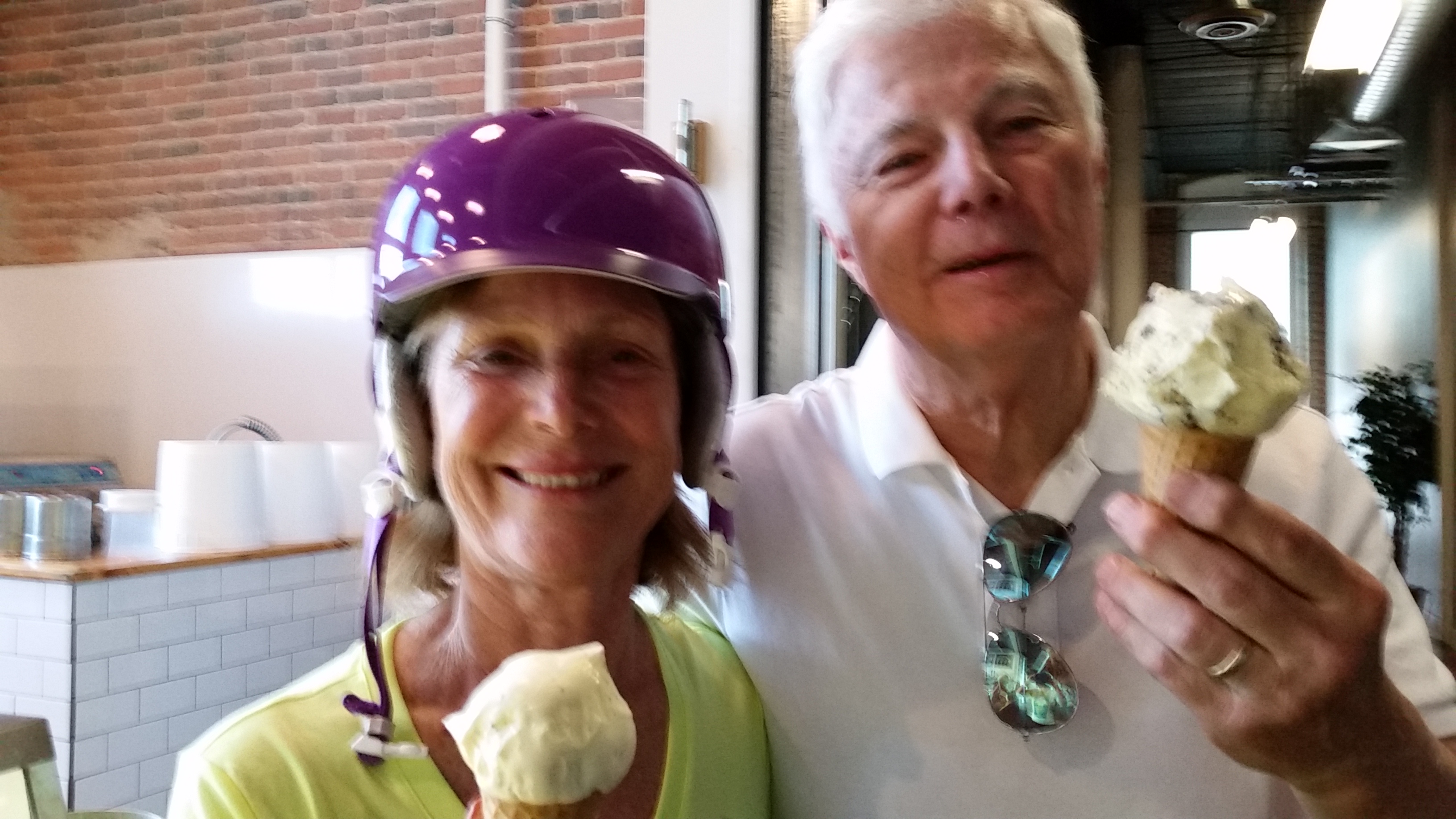
Our Maine friends and their ice cream

Oh, hipsters. This place is a registered dairy and milk processing plant. Can your favorite place in Brooklyn, Portland or wherever claim that? It batch-pasteurizes its milk. Locally sourced, of course. Provenance on the website. Maine herbs and fruits. I’d say it’s mostly farm-to-table for the ice cream crowd. And located in a repurposed mill — more hipster points.

“Mostly” locally sourced because how do you get local chocolate? Lemon and poppyseed? Key lime? In that true hipster way, it was well-curated — no 31 flavors and all that. Yet I was tempted by so many — rhubarb sorbet, perhaps?

A couple of samples later, I picked the dark chocolate. But there’s a twist: It was vegan. So not me. No idea what the secret non-dairy ingredient was, but it was awesome. I went for the kiddie size and it was so rich, I really could have used one of the citrus flavors to offset that. (Wonder if they’d do a half-and-half in a cup?) A single scoop would have been too much.

Sweetcream, get yourself a sign to and from the Eastern Trail!

All in all, nearly a 20-mile ride. One day I’ll ride the rest of the trail, from Portland down to the New Hampshire border. Stopping for ice cream, of course.

Biking with George Washington

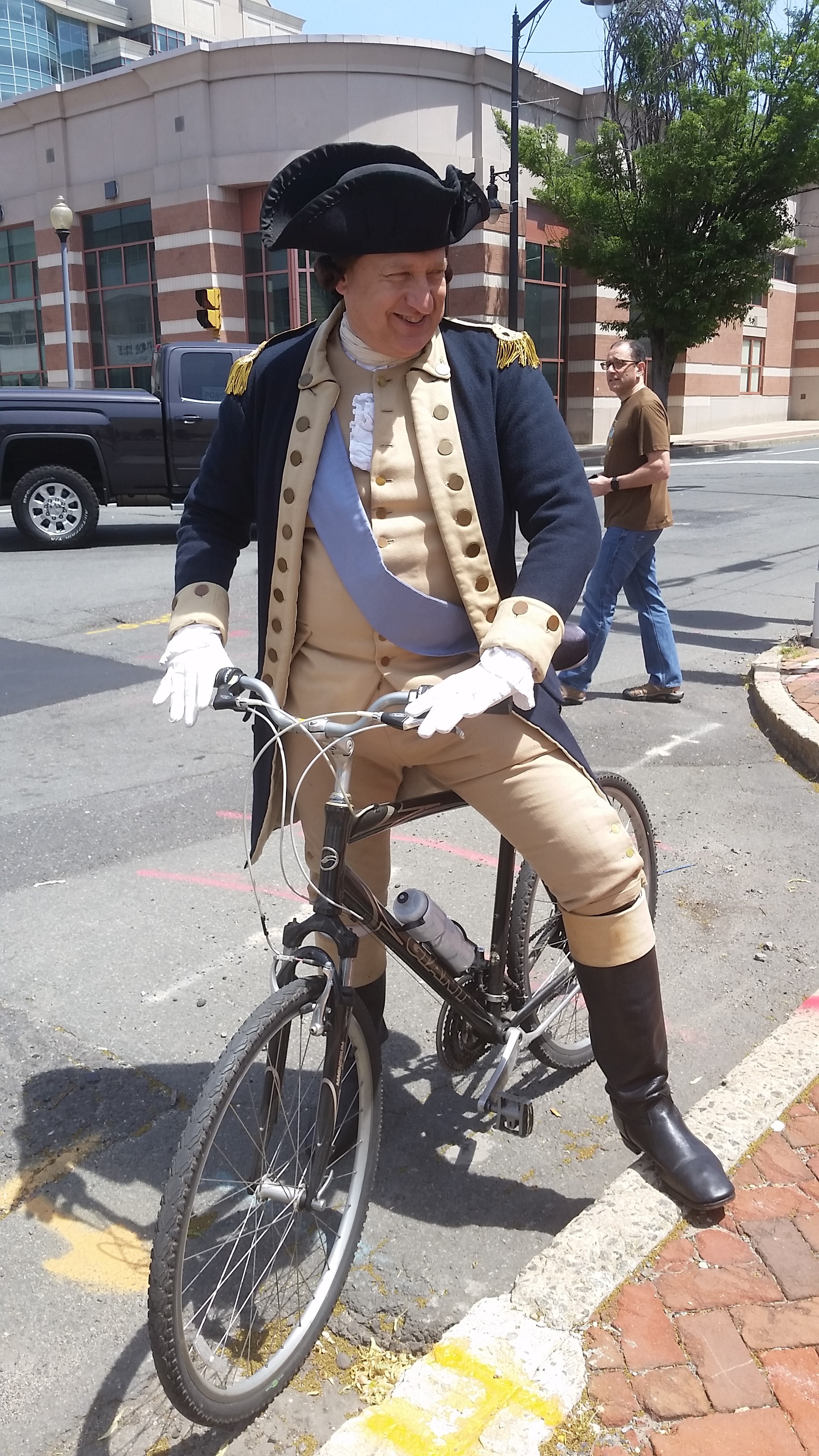
How cool is this? Biking with George Washington.

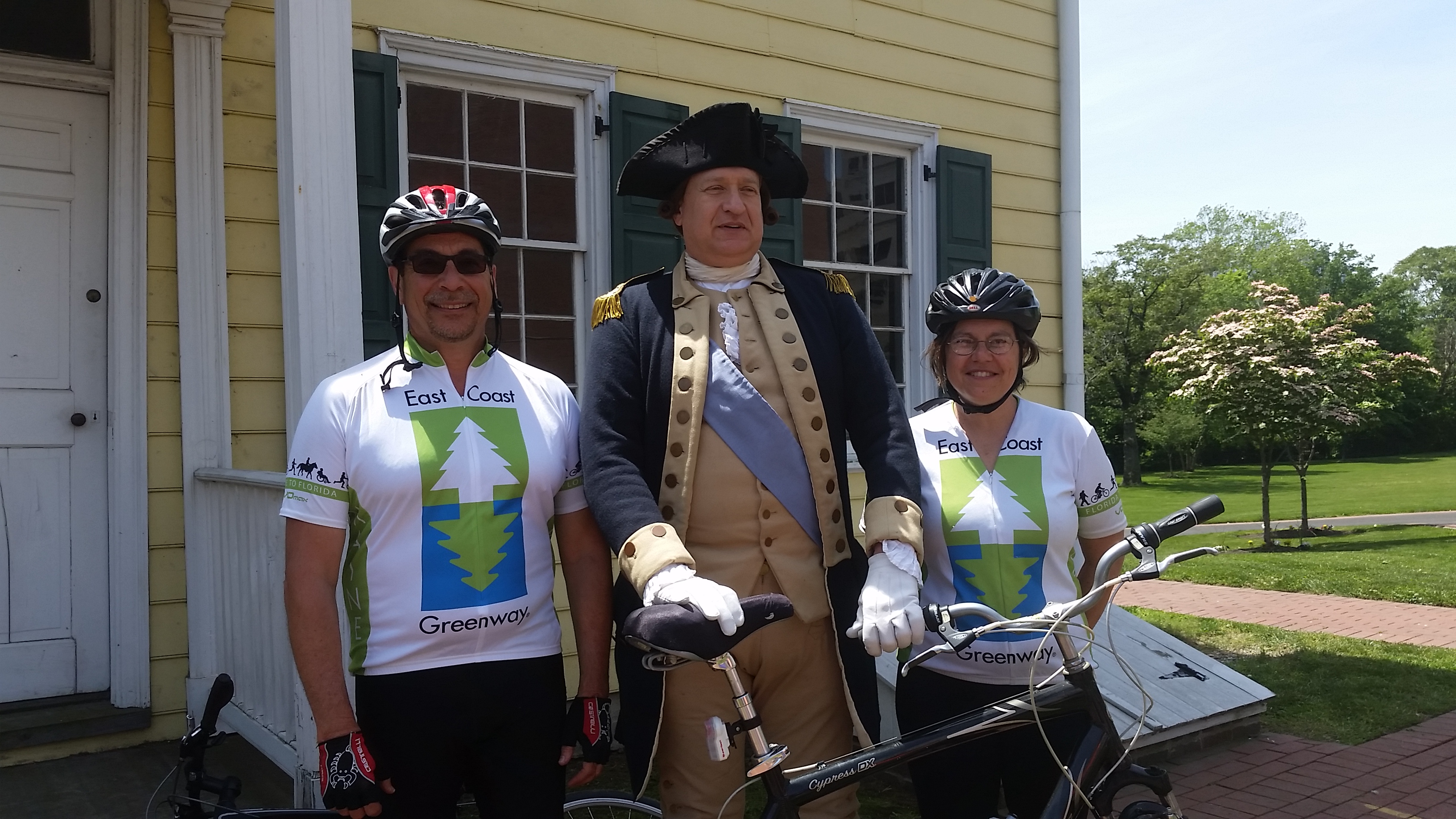
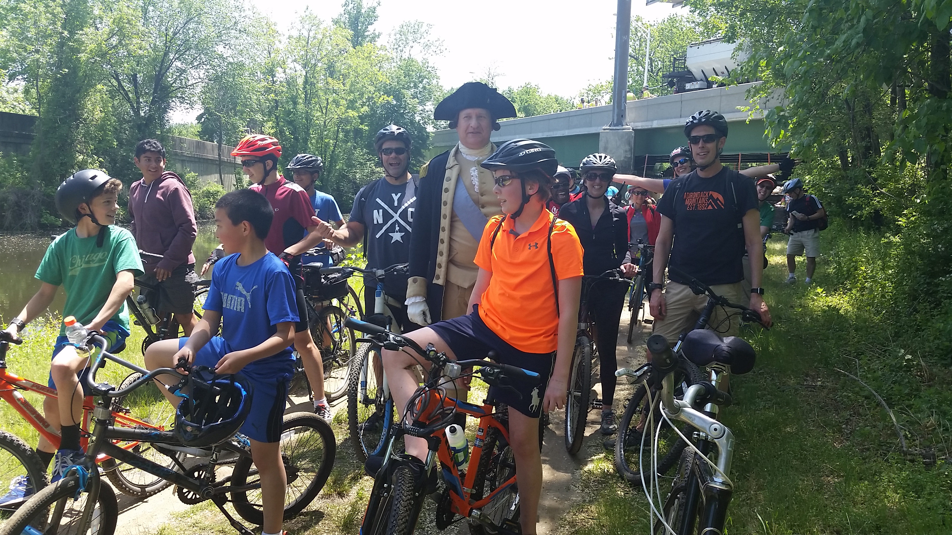
This is the coolest bike ride of the year so far — pedaling with George Washington (OK, a reenactor) and about 80 “troops” from the site of Battle of Trenton to the Battle of Princeton. All that was missing (beyond Alexander Hamilton) were some Redcoats in hot pursuit (even if that last part isn’t historically accurate). Next year!

This 10-mile “Chasing George” ride (with accompanying historical talks) was organized by the Historical Society of Princeton with help from a number of organizations, including a few of us representing the East Coast Greenway who escorted one company of “soldiers” from the Trenton train station to the Douglass House, site of a Council of War after the Second Battle of Trenton and the starting point for this ride. Some 37 of us took off behind General Washington, followed by 32 others who took a wider view of history. They had ridden out from just south of Princeton to Washington Crossing (site of the Dec. 25, 1776 crossing of the Delaware River) and then onto Trenton.

Yeah, the kids loved it. They made sure they were up front with George!

Our route wasn’t historically accurate; we took the D&R Canal towpath (part of the East Coast Greenway), which wasn’t built until the 1830s. The General and his troops had swung wide to give the Brits the slip that night. We ended up near the Princeton Battlefield as part of Princeton’s annual Ciclovia. Too bad it’s held on the edge of town, so attendance is pretty sparse.

But what was so important about these battles? These are the 10 days that saved the American Revolution. And it really was almost at an end. Washington had suffered one loss after another in the New York area and had essentially fled through New Jersey to just across the Delaware in Pennsylvania. Much of the Continental Army had signed up for one year and could go home at the end of the year. And on Christmas night, the army crossed the Delaware, despite the snow and the cold, and surprised the Hessians in Trenton on the morning of the 26th. They won, shocking the British. (And no, the Hessians weren’t drunk). Soldiers stayed on. There was a second Battle of Trenton on Jan. 2 and Washington’s forces held on as night fell. The British planned to finish them off in the morning, but Washington and his troops slipped out of town on a back road heading for Princeton and places north. British soldiers heading south to Trenton spotted them as dawn broke, and there you have the Battle of Princeton. Another win for Washington, and the Revolution was saved.

Want more? Read “1776” if you haven’t already. And catch the re-enactment of the crossing every Christmas Day, take part in Patriots Week in Trenton the week after Christmas and then watch for the Historical Society of Princeton’s own Battle of Princeton events just after that.

The economic impact of Mississippi’s Longleaf Trace

longleaf traceI love hearing about the economic impact of rail-trails because to me, that’s the most convincing argument for a trail. Usually the numbers come from some big study that makes some pretty broad-brush claims.
But here’s information from one bike shop in Hattiesburg, Mississippi, one end of the 43-mile Longleaf Trace.

Before the Longleaf Trace opened in 2000, Moore’s Bicycle Shop was one full-time person (the owner) and a part-timer. Sales in 2000 were $225,000 in a 1,400-square-foot store. A decade later, he had 6,500 square feet of retail space, five full-timers and one part-timer and average annual sales of $565,000.

Here are some money numbers from opening to 2014: more than $900,000 in additional payroll, more than $265,000 in additional sales-tax revenue (including $47,000 to the city) and an additional $96,000 in additional property taxes.

Plus he’s gotten more competition.

And yes, James Moore is a big proponent of the trail and hosted the first meetings to create it. He tells a story of the second meeting, when opponents got wind of it and came out in large numbers. One older man finally stood up and said he buys his car, his clothes and more in Hattiesburg and was happy that the Trace would give him a chance to spend more of his money in his community.

Now having ridden the length of the Trace, I didn’t see many places to spend money in the tiny towns along much of it. The businesses that are there may be doing a bit better (I did see one general store that sells bike lights) and could benefit from some signage telling out-of-towners about food and other services, but the bigger businesses are in Hattiesburg and in Prentiss, at the other end of the trail.

The Trace extended to downtown a few months ago, which should help businesses there. A Civil Rights museum is opening later this year to help tell the story of the Freedom Summer of 1964, when out-of-staters came down to register African-Americans to vote after the Civil Rights Act passed. Hattiesburg was the epicenter for southern Mississippi. The town is also working at connecting schools and the zoo to the Trace. Several miles out of town, there are big plans to develop an area around a pond into a fun place to while away the day,

More could be done: I hope they find a back-roads route so out-of-towners can get from hotels by the interstate to the Trace without having to drive. The Trace’s own website could come into the 21st century, and it would be wonderful to see more about the history of the area, from Indians to longleaf pine to cotton to whatever has come next, along the Trace.

Finally, a random fun fact about Hattiesburg: The zoo is home to two sloths and there’s a four-month wait to get 30 minutes of cuddle time with one. Cost is $40.

43 miles on Mississippi’s Tanglefoot Trail

The Tanglefoot Trail runs from New Albany to Houston.

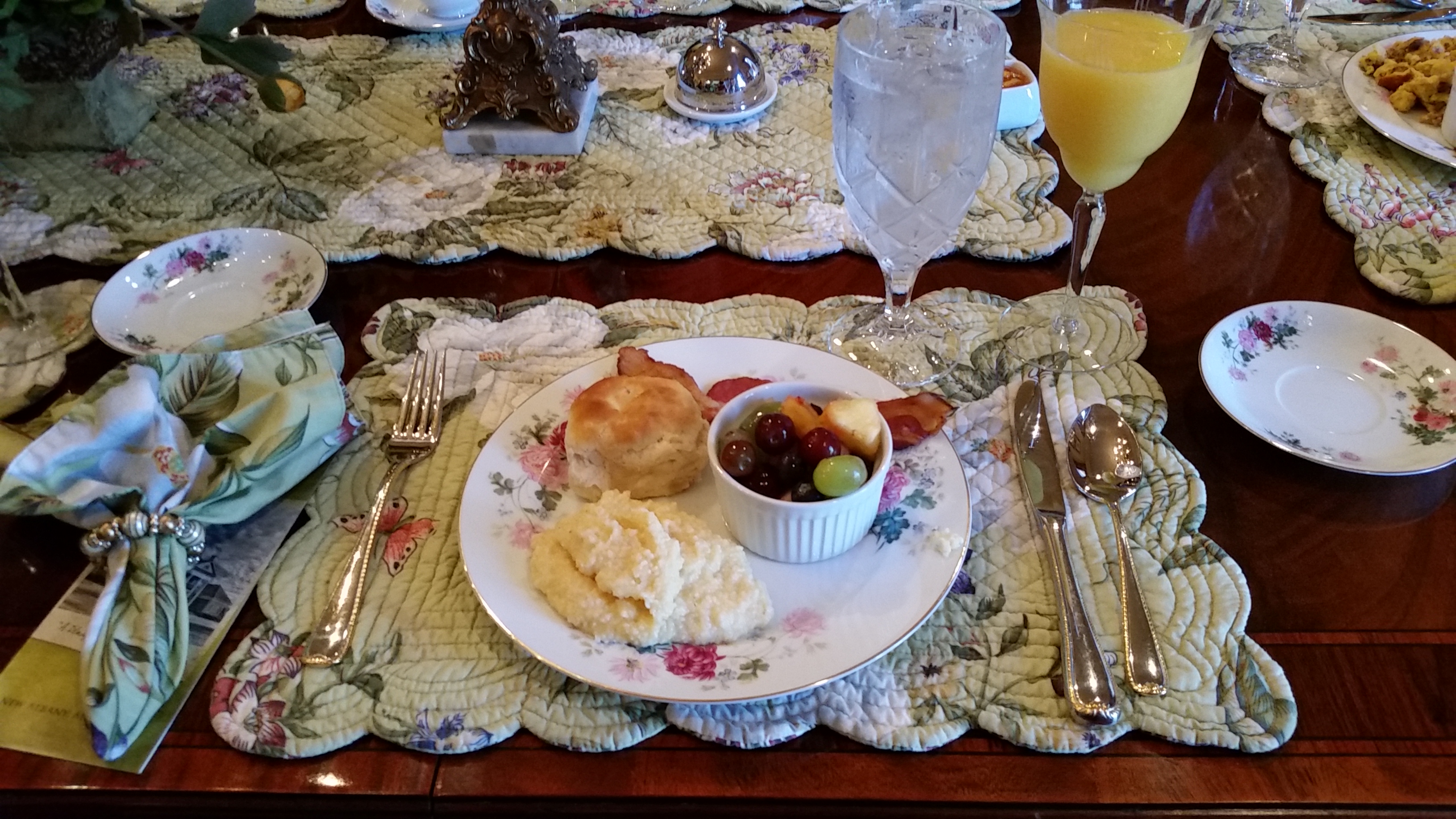
bikes and butterfliesThis is a rail-trail that stands out for doing the most basic of amenities incredibly well — shelters with running water and real toilets (and even outlets to recharge your phone).
Continue reading “43 miles on Mississippi’s Tanglefoot Trail”

Hopscotching across the state of Mississippi

breakfast concord inn(It’s always about the food isn’t it? Much nicer than my usual style!)

I’m getting away from a northern winter to join a small group exploring Mississippi on a bike. And no, this is not part of the East Coast Greenway.

Now Mississippi is a long state (more than five hours to drive from the state line with Memphis down to the Gulf of Mexico) and we only have four days, so I admit there’s some assists coming via a car. We’re going to skip some of the more obvious tourists sites (sorry Tupelo, Oxford and Natchez) and instead spend a good chunk of time on rail-trails you may not have heard of. And yes, the Natchez Trace.

As a Northener who has spent less than 24 hours in Mississippi until now (and that was only in October), I was shocked to learn this deep-red state has a pretty new 43-mile rail-trail that opened all at once. Quite a feat! Then we hear that the time between the railroad abandoning the line to Tanglefoot Trail opening was just 10 years (eight years if you start counting from the first meeting), and we’re all stunned by the speed. Oh, and it’s asphalt, so a lot more expensive than crushed stone.My town struggles to just put in sidewalks along a road to the train station (we’re starting year 5 – it could happen this year for the first five or six homes.)  And before you ask, 80% of the money came from the federal government (grant). Someone knew how to push the right buttons.

I intend to find out the full story — but I’m already hearing about the trail’s economic impact.

So here’s the basic itinerary:

Day 0: I’m on a rental bike because I couldn’t deal with shipping my bike and then needing to ship it back. But the others have brought their various fold-ups and spend time after dinner reassembling their bikes at a beautiful B&B while I … chat (what a surprise!).

Day 1: 43 miles on the Tanglefoot Trail (New Albany to Houston).

Day 2: 35-mile loop involving the Natchez Trace Parkway from Ridgeland, a bike-friendly suburb of Jackson, the state capital. Then another 27-mile section of the Natchez Trace from Rocky Springs to Windsor Ruins (what a name for a town!). The Natchez Trace is run by the National Park Service and runs from Nashville to Natchez. Until now, it’s the only place I knew about biking in Mississippi, and it’s a 50-mph road.

Day 3: 16 miles around Vicksburg National Military Park (can I just say I love the National Park Service?) and then 41 miles on the Longleaf Trail from Prentiss to Hattiesburg

Day 4: 28 miles along the Gulf coast.

Total is 200 miles, and no coincidence that this is Mississippi’s bicentennial year.