 First, the Virginia Capital Trail is a fabulous trail. I wish other areas would take a look and see how they can copy it.
Continue reading “Virginia Capital Trail, part 2: around Richmond”
I explored more of the Virginia Capital Trail. Five stars!
First, the Virginia Capital Trail is a fabulous trail. I wish other areas would take a look and see how they can copy it.
Continue reading “Virginia Capital Trail, part 2: around Richmond”
I explored part of the Virginia Capital Trail.
 I gave up trying to talk myself into driving in one day to Wilmington for the start of the East Coast Greenway’s annual weeklong ride, deciding to break it up with a stop in Richmond.
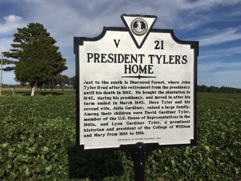
The appeal: the Virginia Capital Trail, 50 miles of off-road trail from Richmond (the state capital) to Jamestown, the first settlement. It was finished a few years ago and is a spur route of the East Coast Greenway.
I had time for an afternoon ride and debated where to start: Richmond or somewhere mid-trail? I only knew of Charles City, so that’s where I went. Turns out I was 20 miles from Jamestown … that would be 40 miles round trip. Could I do it?
Continue reading “Virginia Capital Trail, part 1, or the back half of “Tippecanoe and Tyler Too””
A 15-mile route from Riverside, NJ, to the Roebling Museum.
 This is part of an old Roebling factory, the company that built the Brooklyn Bridge. The East Coast Greenway goes past it — now on the road but eventually (I hope) on an off-road trail. That would be the Delaware River Heritage Trail, which is slowly pushing south from Trenton and Bordentown, and then up from Camden. It would be an alternative to riding from Trenton to Philadelphia on the Pennsylvania side. (And it’s no secret what I think of the current route.)
Here’s some news about the progress being made on the heritage trail.
Like the mini bridge outside the Roebling Museum? Stopping for a proper museum visit next time! Several picnic tables too, so it’s a prime rest stop.

We decided to explore from Riverside, following the Delaware River north. Our route took us through small communities and shuttered factory sites, like a large one for U.S. Pipe, once the largest employer in Burlington. (here’s some history about the company in New Jersey.)What will become of this prime riverfront location … and how much environmental cleanup is needed? Can gentrification reach this far, aided by transit? Waterfront condos one day? Or a new warehouse? The RiverLine light rail (which tracked our route) is right there … but so is a freight line. I just hope there is public access to the river (and yes, a trail).
Today, the 15 miles to Roebling are almost all on road; the East Coast Greenway route has a brief trail moment through a park, and we tested out a riverside walkway with a sign ordering you to walk your bike past an apartment building, per city ordinance. While there is usually a shoulder (I would not call them bike lanes), this is a route for people comfortable riding on roads, even on a Sunday morning. As we rode through an industrial area, I wondered about truck traffic during the week. One had a multi-use path out front… that dead-ended in the grass.
For those who don’t want to bike back (and yes, we did bike) or suffer mechanical trouble, there’s always the RiverLine. We were never that far from a stop.
Here’s a bonus for those who don’t ride on a Sunday: Junior’s Cheesecake. We biked past the company bakery in Burlington (sorry, New York). There’s an outlet there, apparently selling both “perfect and imperfect” cakes. Of course, you’d then have to balance it on your bike. Or be with a large group of hungry cyclists who can eat it all at once. (We went for a Portuguese restaurant in Riverside with scarily huge portions.)
Are there really free tours on the first Monday of the month?
Spotted along the way:

Christine Todd Whitman lives on as governor in this sign. Whether the vision of 2,000 more bike miles does too is another question.
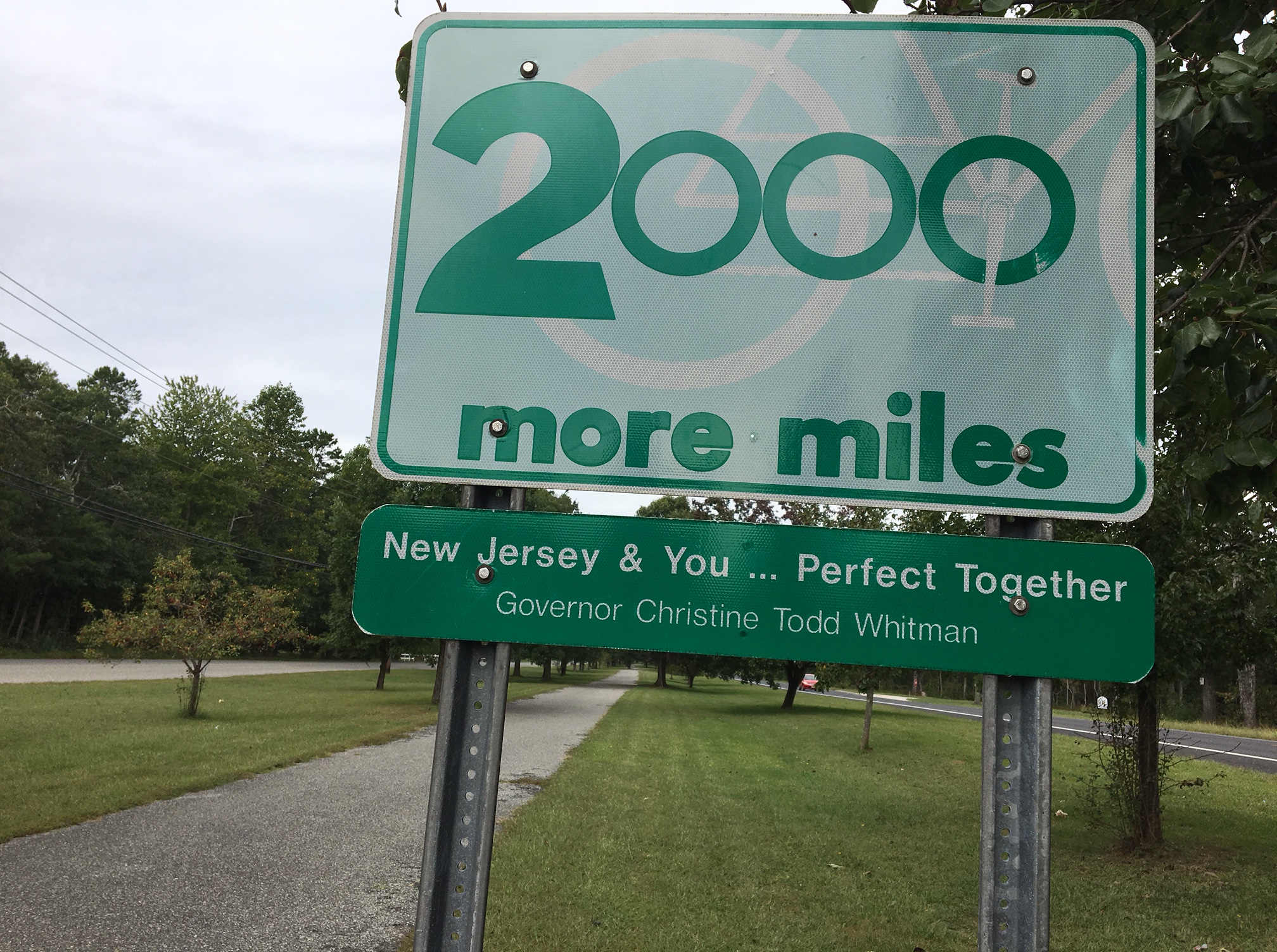 I stumbled across this sign by a multi-use path in Woodbine, deep in southern N.J., on our back-to-back metric century overnight.
See the bike in the background of the sign? I figured the 2,000 miles referred to bike miles, hopefully in the form of trails and not just paint on the side of the road or, worse, sharrows. After all, it was right by a paved trail.
And I thought: Imagine if this really was what government wanted to do. New Jersey has 21 counties, so divided equally, it would be nearly 100 miles per county. Or do it by population, which would come at the expense of those really south and west, where they are too far to commute to the job hubs of NYC and Philadelphia. And if ideas for trails that were at least 5 miles long were prioritized, encouraging projects across municipalities and reducing the odds of random, disjointed trails not even connected by bike lanes … wow. (And the East Coast Greenway in New Jersey would be done! So would the Capital to Coast Trail, which may be coming back to life.)
But this is why I know this was all just talk around the time of the millennium: the governor on the sign is Christine Todd Whitman, who left office in early 2001. Usually every new governor gets his name on every sign possible as quickly as possible. Guess none of them wanted to own this one.
And the trail itself? We stopped at the Woodbine municipal center on the other side of the grassy median to ask where it goes. The receptionist had no idea. No clue about the name either. Turns out it’s the 3-mile Woodbine Railroad Trail following a section of the Pennsylvania and Reading Railroad. It connects the Cape May National Wildlife Refuge and Belleplain State Forest. Or at least peters out on what I hope are quiet roads. Downtown Woodbine looks like it has seen better days; the only commercial activity we saw was a Family Dollar store and a butcher’s shop/grocery. Would promoting the trail (and creating a small loop for casual riders) create a bit of economic pop?
Two metric centuries in two days and lots of sights along the way.
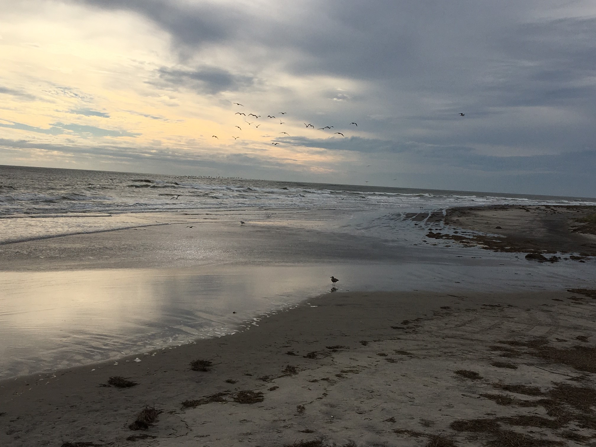 Thursday was the last day of summer and Friday was the first day of fall. What better way to mark the change in seasons than with a long bike ride to the Shore and one last chance to wade into the ocean?
The inspiration for this ride was NJDOT’s High Point to Cape May route, which runs 238 miles from the northwest corner of the state down to its southeastern point. Some people are crazy enough to ride a version of this in one day to mark the longest day of the year, but we were only aiming for a little over 60 miles each way (also known as a metric century), starting and ending off that route.
120+ miles in two days? Call us crazy for doing even that if you like. But I see it as good training for that big East Coast Greenway ride next month.
We picked Batso Village as our starting point because it was a convenient meeting point for the three of us, coming from two parts of the state — and the people running Wharton State Forest would let us leave our cars overnight. Our destination was the North Wildwood home of Mary Jo and Bill, good friends of one rider. Thank you again for hosting us … and for feeding this famished rider!
Thursday was a beautiful sunny day with a wind from the north, so when we reached Mays Landing, it wasn’t a hard decision to head east for the Shore and then let wind keep pushing us along. We quickly discovered that our route to the beach was the same that the MS City to Shore ride would be using two days later. Ocean City was our first beach town, proudly boasting its bike-friendly credentials as soon as we crossed the modern bridge with sweeping views of the Great Egg Harbor Bay and used by plenty of pedestrians getting in their steps.

We rolled through several beach towns, each with their own personality (some clearly for weeklong party rentals, others with fancy second homes), all with plenty of construction and often separated by old two-lane toll bridges (bikes exempt, yay). The joys of off-season riding: no traffic keeping you from quickly getting from one distant traffic light to another. The downside: what’s open is limited — and by that I really mean ice cream shops.
Given that Hurricane Sandy wasn’t that long ago, it was disconcerting to see how many homes aren’t elevated on these narrow spits of land. Condos have gone up above marshes on the inland side of bays, which just seems to b begging for trouble. And you don’t need a hurricane to hit to do damage, as we discovered in North Wildwood, where just the waves from Hurricane Jose took out much of the sand dunes a few days before we arrived. Pumping sand back onto the beach every year must just be something a town budgets for.
Sunny day flooding here?

On Friday, we opted not to fight the headwinds along the coast and quickly made our way inland, picking up the more direct High Point to Cape May route. The roads felt a little busier, though with generous shoulders. I wondered if someone who biked the area regularly would have picked out some quieter (if longer) stretches, or whether the smallest roads would have turned sandy. Regardless, good training for traffic in the Carolinas.
The day might win for strangest road trash ever: a wetsuit. Was it flung out of a car or pickup truck in anger? Or did it bounce out of a truck bed or from the roof of a car? It wasn’t something we could pick up (unless we wanted to wear it), so we just whizzed by. Hopefully someone went back to retrieve it (and the plaid shirt nearby). We also passed on stopping for what appeared to be a bike lock, figuring that, too, was of little use to us.
What else did we find?
North Wildwood was getting ready for its Irish Weekend, described as the largest Irish festival on the East Coast and attracting about 200,000 visitors. Even if you’re not Irish, you want to pretend that you are and hang something green from the house, just to keep away the drunks. Glad we missed the crowds.

Spotted along the route:
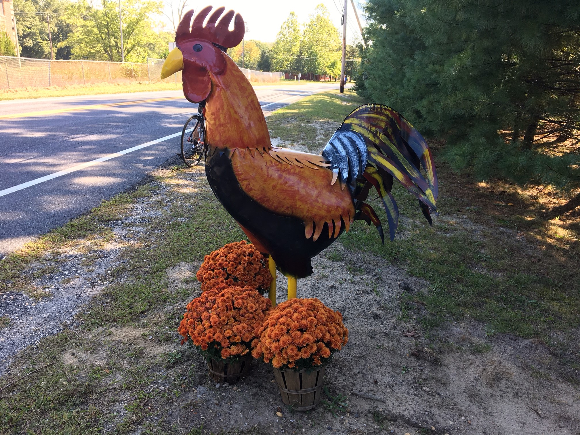
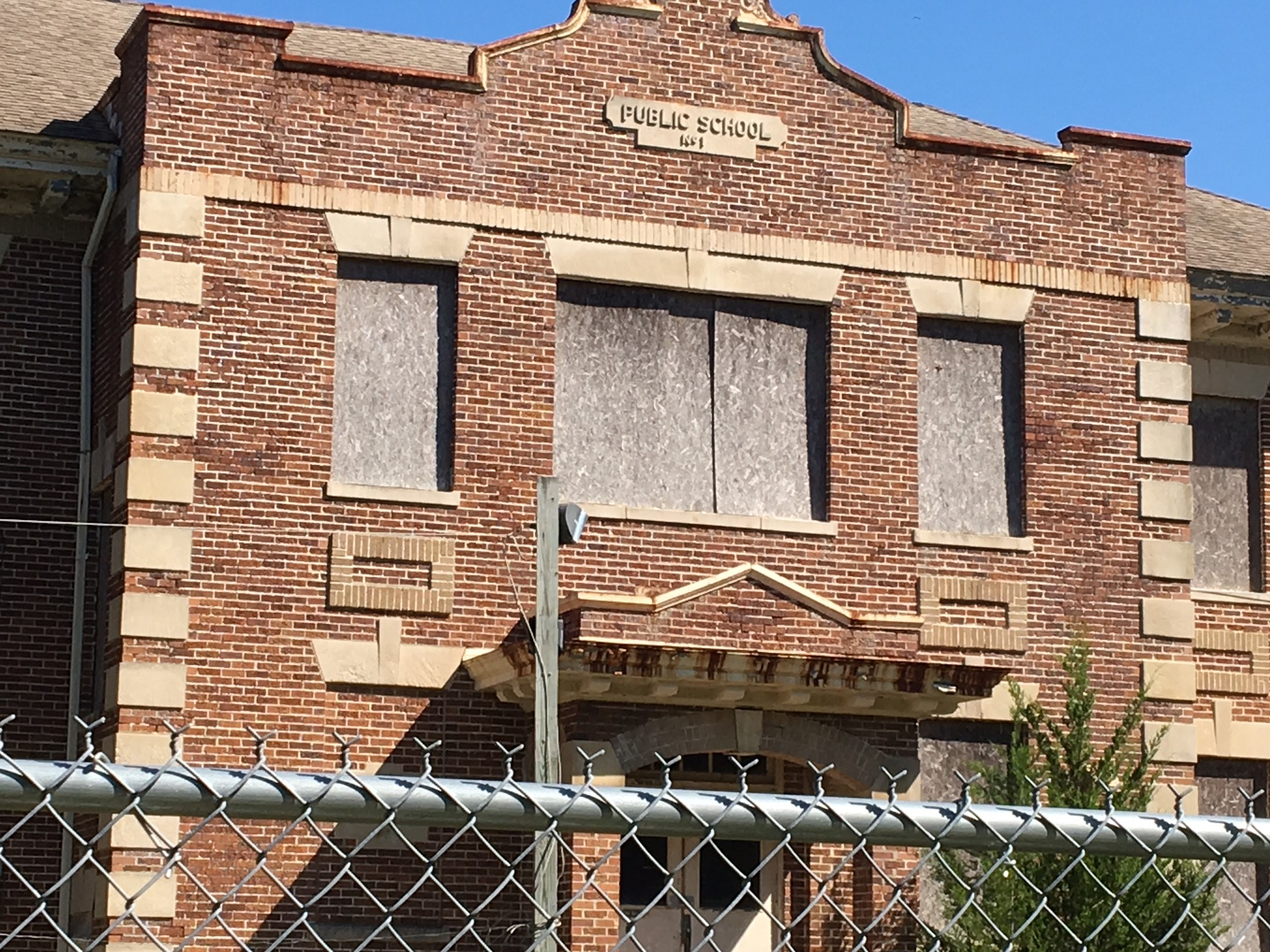

A hat tip to the Revolution and an unusual 9/11 memorial in Mays Landing (have you ever seen one with photos from all three sites?):


Looks like there will be competition for a one-star rating.
 The East Coast Greenway’s big fundraising ride starts in a couple of weeks, and I’m one of 40 cyclists on it.
After a briefing about the route from Wilmington, N.C., to Savannah, I’m rethinking that one-star rating I just gave the Trenton-to-Philadelphia stretch. Should I raise it to two? At least busy roads there had shoulders or bike lanes. Not so along similar parts of this year’s Week-A-Year route, it appears. That may make it more deserving of the bottom rating.
No shoulders on major roads surprises me. I get no snow means not needing a place to push it to, but surely cars break down there too and need to be moved to the side of the road. We’ll be cycling in the “Low Country,” so plenty of water and marshes means few road options for us. Not many options for the route. We clearly will be riding in groups for extra visibility and taking shuttles as needed. We’ve had bad roads before. At least it will be flat. And yes, there are some trails. Just not enough. (Note to my mother: I promise I’ll be safe.)
The good news is this isn’t the final word. Much of the route is considered interim as the East Coast Greenway works to create an off-road route safe for all, and hopefully South Carolina in particular will make big improvements. For the record, South Carolina ranks 44th in bike friendliness, according to the League of American Bicyclists. Note that Adventure Cycling’s route along the Atlantic Coast goes much further inland at this point, bypassing Charleston (though there is a spur route) and Savannah.
But what tourist wants to miss those cities? Exactly.
The East Coast Greenway is all about connecting cities. As I’ve said many times, that is much tougher than sticking to rural America. It’s also where more people live and need choice in how they get around. The work done by this group combined with local and state advocates is vital!
If you want to support the East Coast Greenway, here’s the link to my fundraising page — and thank you for your support.
Here’s what it’s like biking on the Pennsylvania side. The New Jersey side is another option.
UPDATE: The section from Trenton (well, Morrisville) to Bristol is dramatically better. Read about our 2019 ride to an award-winning brewery using the new East Coast Greenway route.
ALSO: There’s some nice riding on the New Jersey side from Trenton to Camden.
I’m going to be blunt: This stretch of the East Coast Greenway is desperately in need of improvement — i.e. trails. I’m told that’s coming, but for now this is a one-star section.
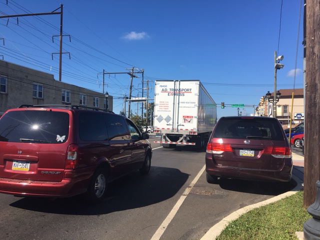
Three of us rode from Trenton to Philadelphia on Sept. 15, 2017 as part of the East Coast Greenway’s River Relay that covers the entire 3,000-mile stretch: 25 years of East Coast Greenway, 50-plus rivers and one Greenway.
This was all urban riding– no trail, no suburban residential streets, nothing to give you a break from city biking and city traffic. To be honest, our “Portugal to India” ride, from Newark to Metro Park and then onward to New Brunswick was more pleasant and more interesting — and that’s not something most people associate with North Jersey, let alone Newark.
We started out from downtown Trenton aiming for the Calhoun Street Bridge. At one point, I thought we were headed for a busy highway, but the road forks in an odd spot and dropped us on the bridge. Chaotic Jersey road design and signposting, I thought…
At least the view of the Delaware River from the bridge was pretty:

On the Pennsylvania side, we picked up state Bike Route E (as in East Coast Greenway) … but don’t be fooled. This is hardly great bike infrastructure. Oh, it started out OK. West Trenton Road looks like a main suburban road, but it’s wide and there wasn’t much traffic. After several miles, though, we were on State Road 413. This is for hardy cyclists only; think wide, major road with strip malls, plus crossing an intersection with a road leading to Interstate 276 and of course traffic coming off the interstate too. Drivers saw us coming, so nothing scary happened. I know this is the reality of a route that connects cities rather than sticking to the middle of nowhere — there is always a bad stretch. The good news is that the route will look very different in four years when some projects are finished (pardon my cynicism when I bet it will be 6). Certainly the map showing the future ECG route looks much more appealing.
2019 UPDATE: The remaining obstacles on the D&L trail between Morrisville (opposite Trenton) and Bristol have been removed this year. It’s now a clear trail for 10 miles — and you stay off what we experienced above. Here’s a report of our 2018 experience.
2020 UPDATE: More trails under construction now!
I just kept wondering who’d get a flat from the junk on the shoulder.
So I was quite surprised when Bristol Pike — U.S. Highway 13 — turned out to be far nicer. For one, it was freshly paved. And there was a bike lane. It even felt fairly sane. I thought we’d be cruising.
 But then one of us got a flat. Yes, of course it was the rear wheel. We pulled over on the sidewalk in front of a used car dealership to swap out the inner tube. The two men working there wandered over to see what was up. They nicely offered us water, use of the restrooms … but also gave us a different perspective on Philadelphia.
Business is slow, I heard, and it’s due to the bad economy — in this case, too many drugs. And these days, drugs means opioids and heroin. We apparently had just gone through a town with lots of (unregulated) halfway houses for addicts who had gone through substance-abuse treatment and were not far from a north Philadelphia neighborhood that he described as the epicenter of the opioid crisis. He never went into Philly without his gun, and he warned us to be careful. We thought he was a bit OTT and we certainly weren’t going to go find ourselves some guns.
Not that our route went through that part of town anyway. We stayed pretty close to the Delaware River but only once actually saw it. That was when we did our special Relay task and collected our sample of Delaware River water in Pleasant Hill Park. We found a bit of trail … but then it’s blocked by the Police Department not wanting anyone near its gun range (not that we heard any shots). Also OTT. This says safety upgrades would mean that section would open in the summer of 2017, but obviously that hasn’t happened. (We did make it through that blocked section in 2018, known as the Baxter Trail — it’s now open on weekends only in the summer.)

Apparently there are a number of unconnected trail segments along the northern Delaware River, and I’d hoped we’d have been able to ride some of them. But nope. Gaps supposedly will be closed in the coming years. Certainly the people of north Philadelphia deserve more trails as well as access to the waterfront. And the East Coast Greenway would have a more direct and scenic route that also would serve riders of all abilities.
And so we stuck to city roads, biggish ones like Torresdale, Frankford and Aramingo, moving away from the waterfront and then back toward it, finally reaching hipster Northern Liberties. Then it was onto the bike lanes on Spring Garden to the Schuylkill River and the train home. Total mileage, including getting to and from our train station and then from the Trenton station to the start: 44 miles.
Did we miss something that would have made the ride more rewarding?
Thank you, East Coast Greenway and Bicycle Coalition of Philadelphia, for working to create new trails and upgrade the route. Thanks, too, for the bike lanes we found! And thank you Riverfront North for doggedly working to make the waterfront accessible to all from the Philadelphia county line to the Frankford Boat Launch, and the Delaware River Waterfront for picking up the trail work there headed south.
What’s is like if you stay on the New Jersey side down to Camden and then cross the Delaware using the Ben Franklin Bridge? Here’s how to do it.
Psst … We stumbled across a section of the Lawrence-Hopewell Trail that isn’t on the official map.
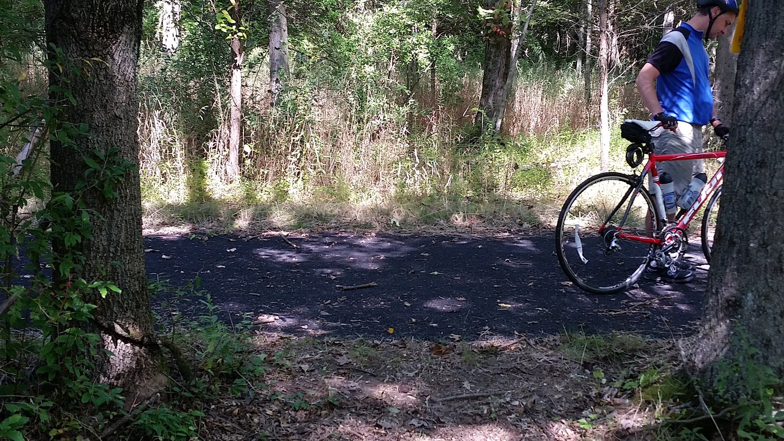 It’s exciting to see the progress this 22-mile loop of a trail is making. Earlier this year, we biked on a new section of the Lawrence-Hopewell Trail and some other parts that we hadn’t yet discovered.
This past weekend, on a version of our usual ride out to Hopewell and the Sourlands, we found a bit more. This piece doesn’t even show up on the map on the trail’s website, maybe because it doesn’t yet really link to anything. Continue reading “We discover a ‘secret’ part of New Jersey’s Lawrence-Hopewell Trail”
We try a new bike ride that takes us further south in New Jersey
Here’s a hat tip to the Anchor House riders … our Labor Day ride was a 57-miler that included the 2013 Cory’s Ride (named after a 15-year-old Anchor House rider who was killed on the last day of the 1998 Anchor House ride).
This took us from the edge of Allentown, which has been on many of our rides, past so many farms and fields of the Garden State as far as Southampton — about as far south as Cherry Hill. Definitely mostly new territory for us. It’s south Jersey, though, so it was essentially flat. (The hilly ride planned for Sunday was rained out. Such a *shame*… though I really need more back-to-back days in the saddle as the big East Coast Greenway ride approaches.) Continue reading “Bicycling to points south … in New Jersey”
Time to experience the Pennsylvania side of the Delaware River.
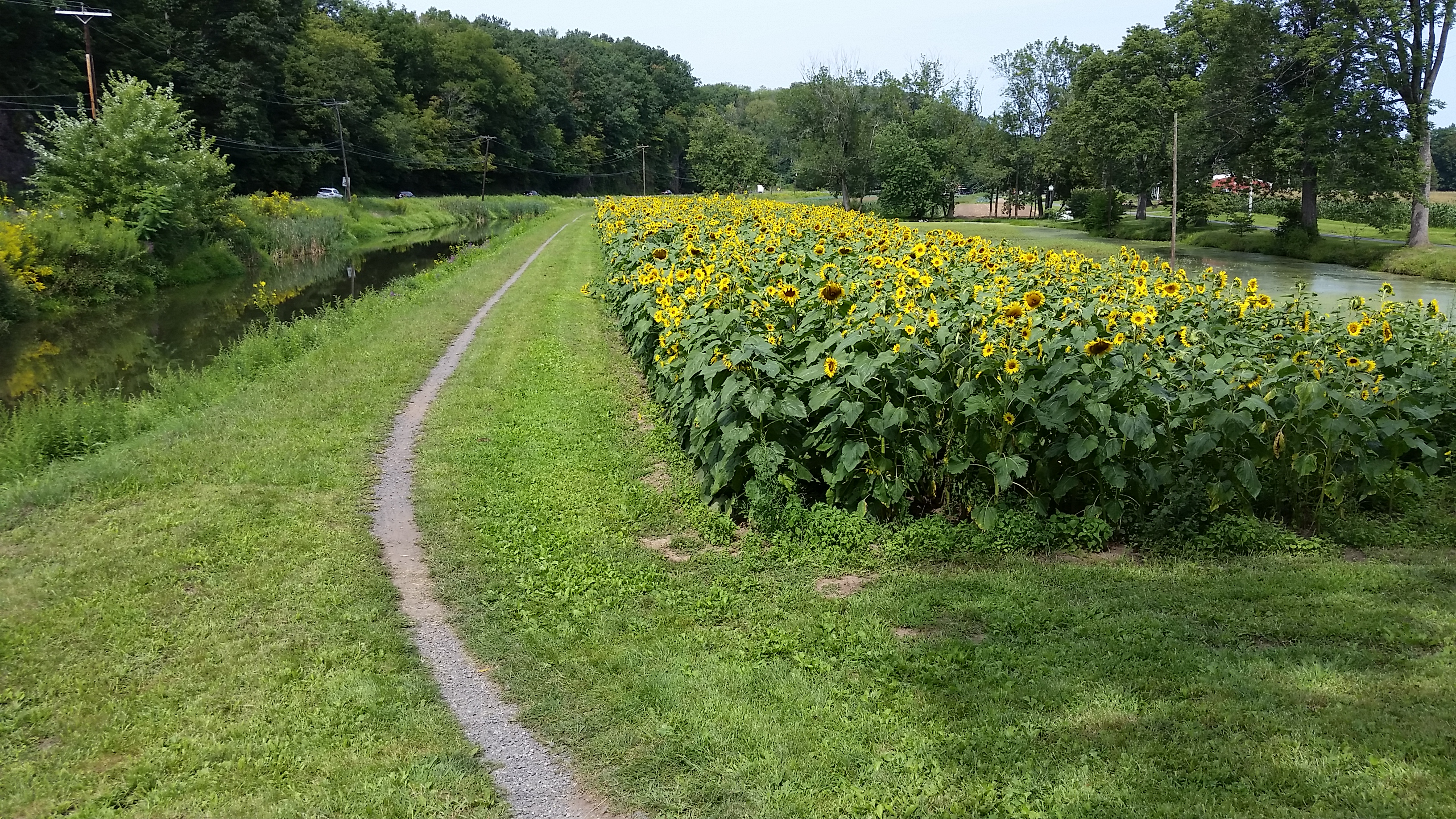 Well, only some of the time.
But the trail on the Pennsylvania side of Delaware River (it’s actually along the Delaware Canal, which runs parallel to the river) is quite different from the one on the New Jersey side, to say nothing of the Delaware & Raritan Canal towpath from Trenton through Princeton and to New Brunswick. Continue reading “Single-tracking along Pennsylvania’s Delaware Canal and the D&L Trail”
 Exploring by bicycle