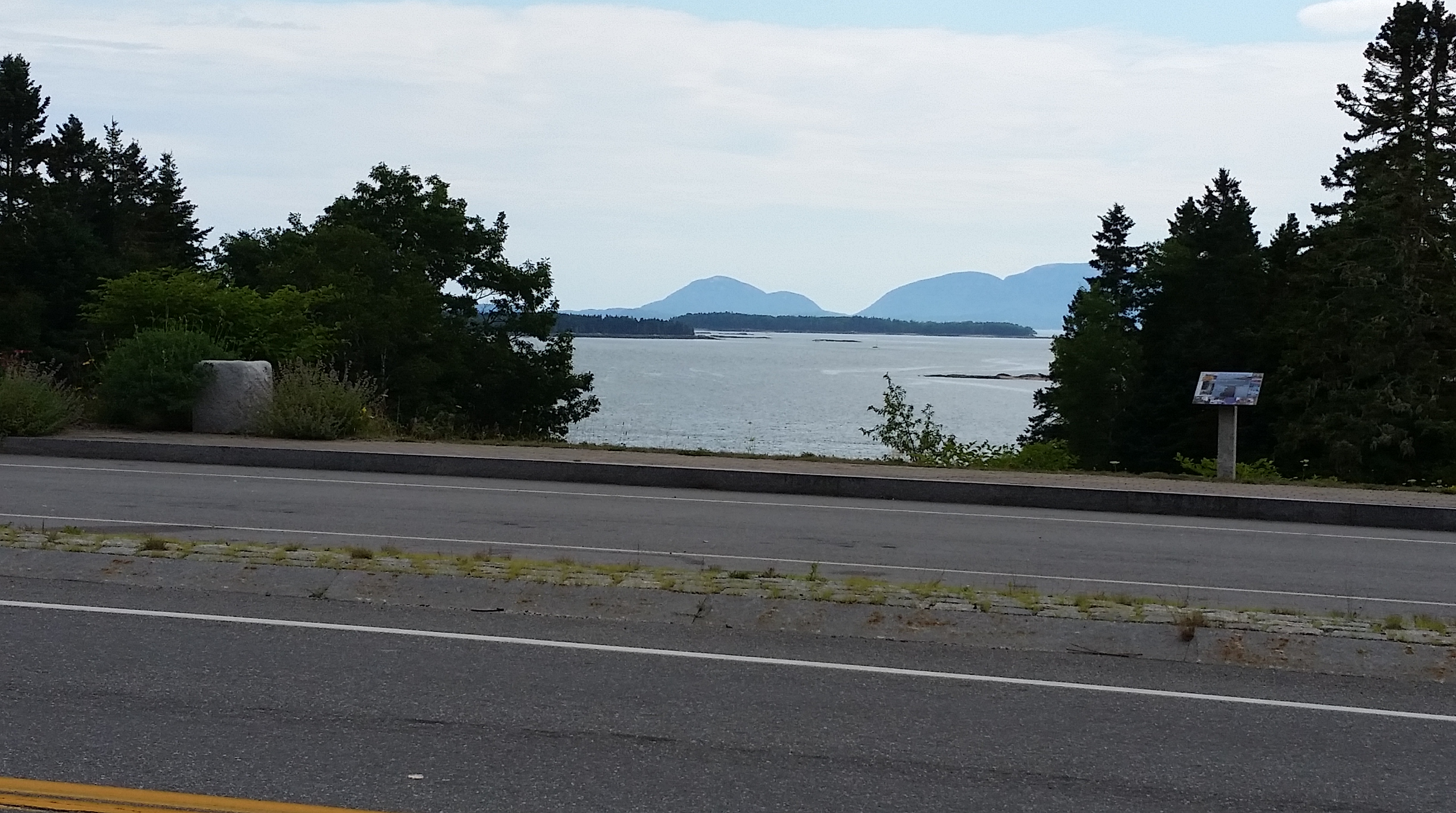
 We biked 68 miles today — it should be our longest day of the week — and climbed an estimated 3,212 feet, also the most of the week. We’re now at the gateway to Acadia National Park. The closest we’ll get, though, is this view from the road. I think Cadillac Mountain is the one on the right.
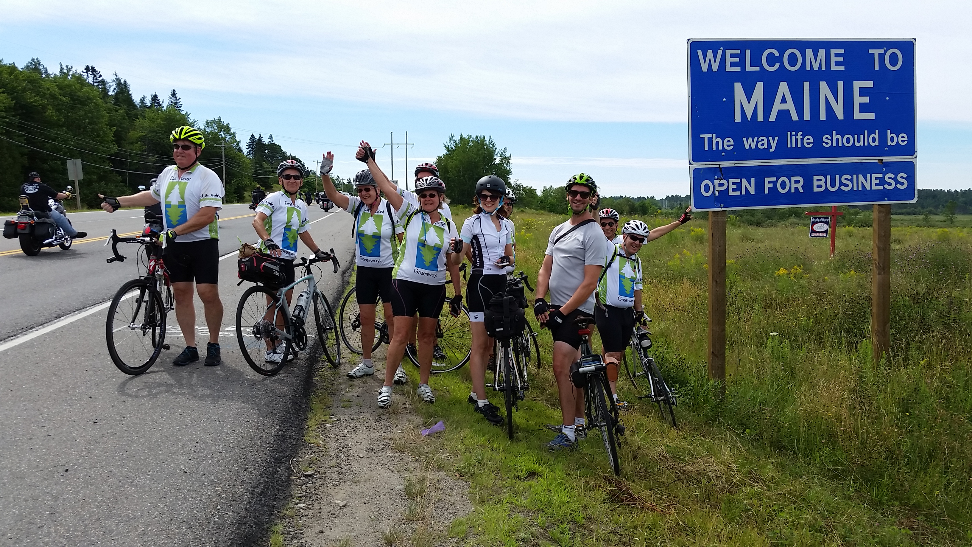
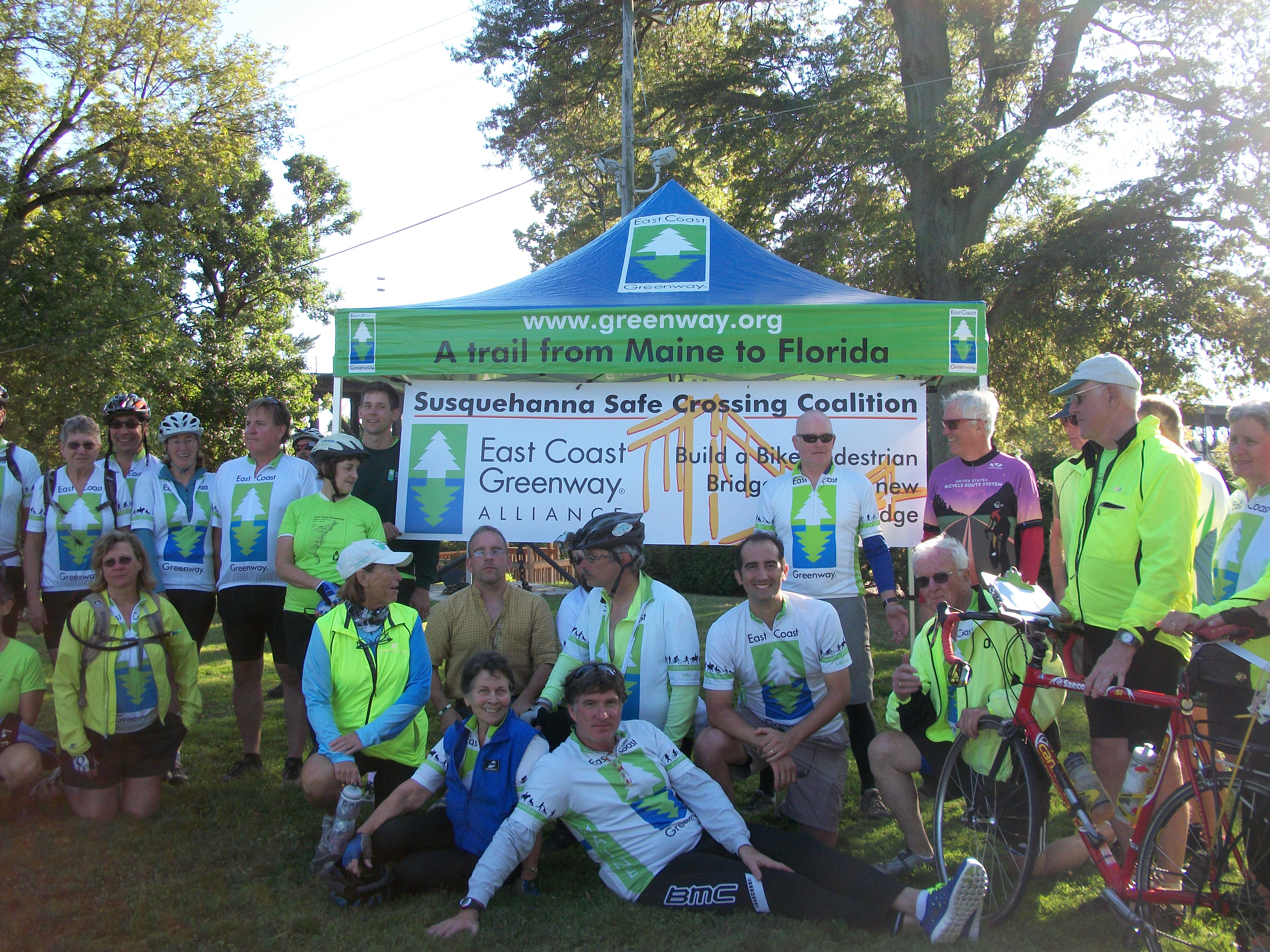
And while we left Machias after 8:30 a.m . (local newspaper wanted a group photo), we were in just after 4 p.m. Admittedly, our stops were relatively brief — while others opted for a sit-down lunch, we stuck to Clif Bars and the like. (Thank you, Steve, our five-star SAG, for keeping us plied with water and snacks.)
One of our stops, however, involved Columbia Falls and Rosa, who I wager is in her 80s, grew up in the town and now just summers here. She spotted a trio of riders taking a picture and clearly decided talking to them was far more interesting than washing the beet greens for dinner. Then more of us stopped. Among the tales she told us were of ice-skating to high school in the winter, the timber and fishing industries that once kept the town alive, and how in the 1940s there was no meat to be had and they ate venison in season — and out, she pointedly added. These sorts of encounters are one reason why exploring by bike is so interesting.
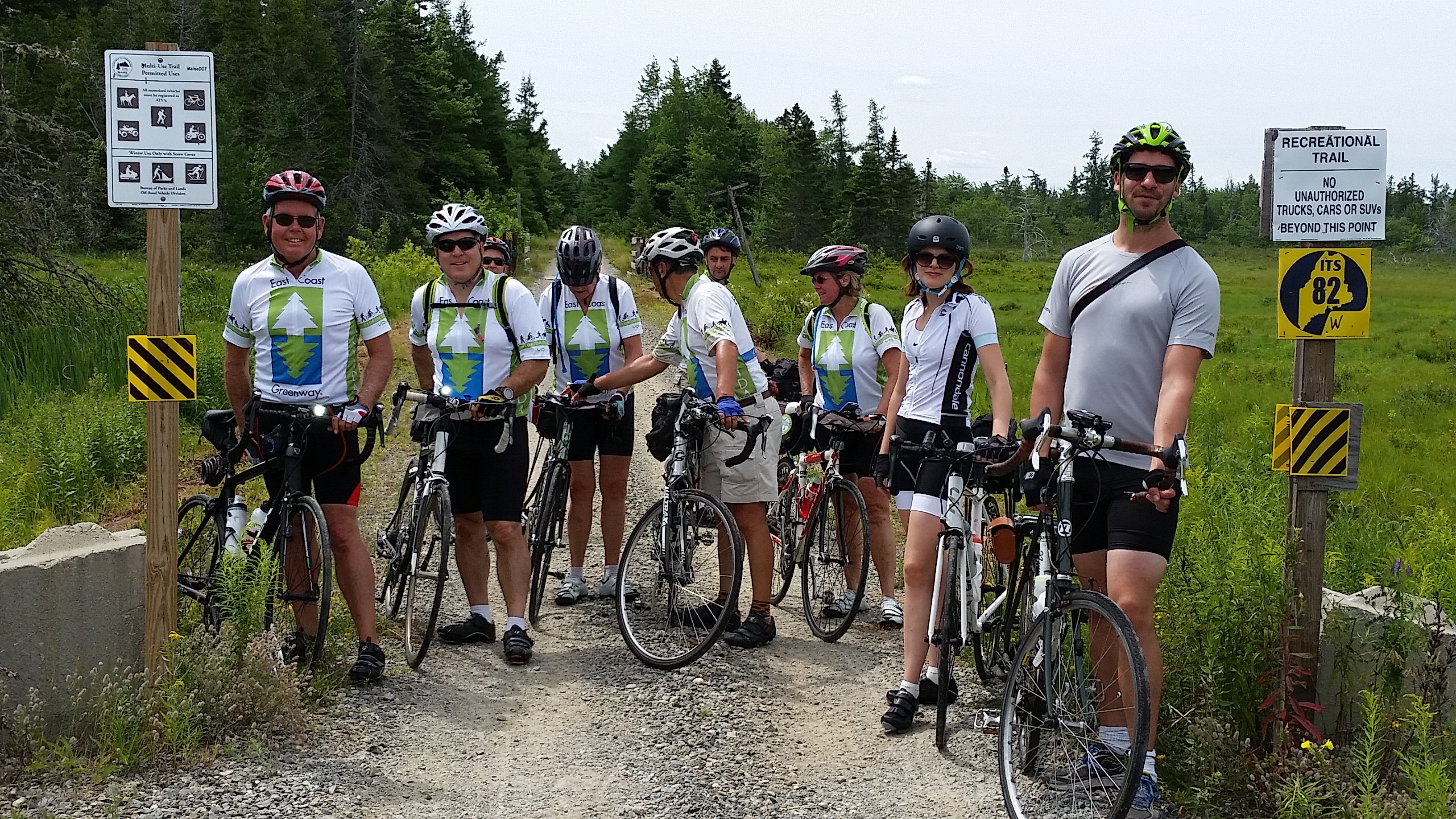
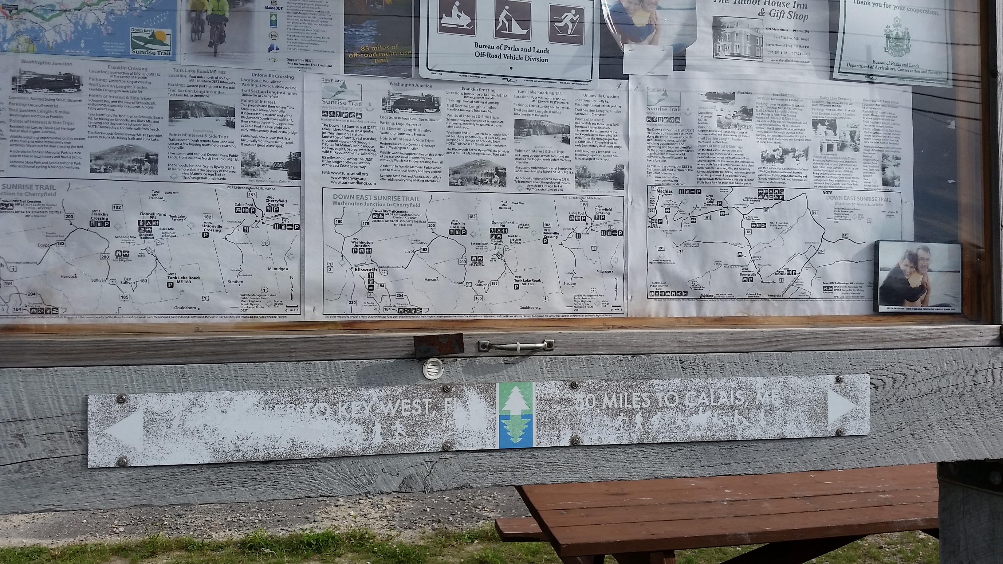
Our route along the East Coast Greenway was essentially the same as U.S. Bicycle Route 1. The hills just kept coming, but once again they weren’t too bad. The worst stretch was U.S. 1 and all the traffic, followed by the road we took to get off U.S. 1 that lacked a shoulder. But that’s why the Down East Sunrise Trail is there, right? Just too bad we didn’t have the right bikes (or at least tires) for it. It would have been the better choice for the second half of the ride. Plus the almost-finished extension goes right to the back of our hotel in Ellsworth.
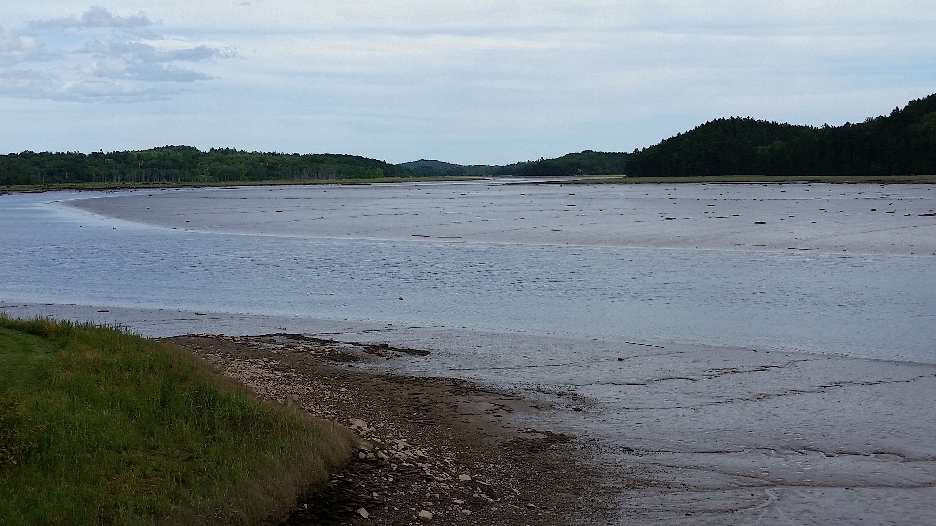
A look back at Machias:
And I stand corrected on how those blueberries get harvested. It’s with a rake that shovels them into a box, and then eventually put in other boxes like these. Rosa told us her friends from down South who had helped their parents pick cotton said they;d never complain again — blueberrry harvesting is harder!