 I love hearing about the economic impact of rail-trails because to me, that’s the most convincing argument for a trail. Usually the numbers come from some big study that makes some pretty broad-brush claims.
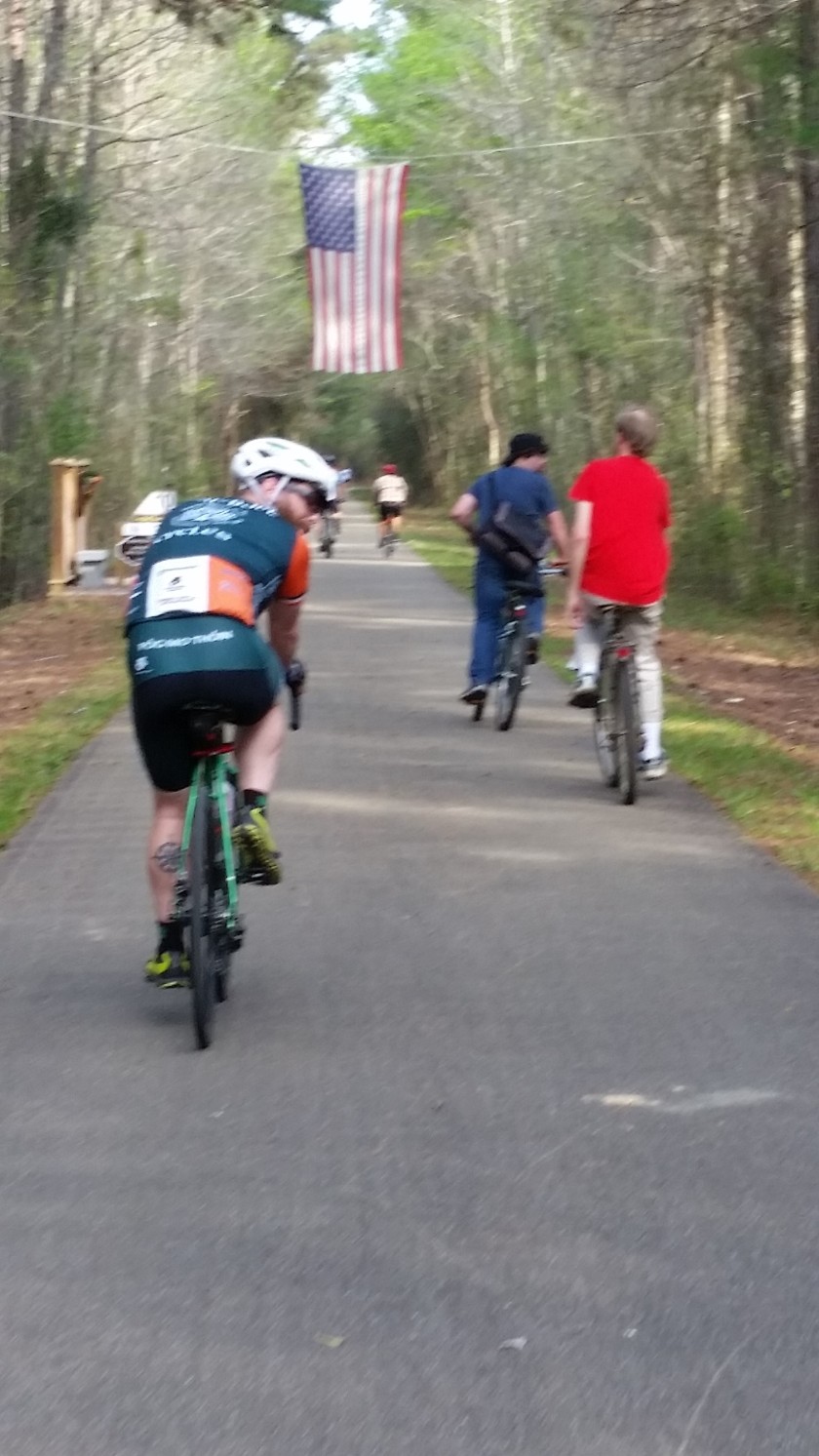
But here’s information from one bike shop in Hattiesburg, Mississippi, one end of the 43-mile Longleaf Trace.
Before the Longleaf Trace opened in 2000, Moore’s Bicycle Shop was one full-time person (the owner) and a part-timer. Sales in 2000 were $225,000 in a 1,400-square-foot store. A decade later, he had 6,500 square feet of retail space, five full-timers and one part-timer and average annual sales of $565,000.
Here are some money numbers from opening to 2014: more than $900,000 in additional payroll, more than $265,000 in additional sales-tax revenue (including $47,000 to the city) and an additional $96,000 in additional property taxes.
Plus he’s gotten more competition.
And yes, James Moore is a big proponent of the trail and hosted the first meetings to create it. He tells a story of the second meeting, when opponents got wind of it and came out in large numbers. One older man finally stood up and said he buys his car, his clothes and more in Hattiesburg and was happy that the Trace would give him a chance to spend more of his money in his community.
Now having ridden the length of the Trace, I didn’t see many places to spend money in the tiny towns along much of it. The businesses that are there may be doing a bit better (I did see one general store that sells bike lights) and could benefit from some signage telling out-of-towners about food and other services, but the bigger businesses are in Hattiesburg and in Prentiss, at the other end of the trail.
The Trace extended to downtown a few months ago, which should help businesses there. A Civil Rights museum is opening later this year to help tell the story of the Freedom Summer of 1964, when out-of-staters came down to register African-Americans to vote after the Civil Rights Act passed. Hattiesburg was the epicenter for southern Mississippi. The town is also working at connecting schools and the zoo to the Trace. Several miles out of town, there are big plans to develop an area around a pond into a fun place to while away the day,
More could be done: I hope they find a back-roads route so out-of-towners can get from hotels by the interstate to the Trace without having to drive. The Trace’s own website could come into the 21st century, and it would be wonderful to see more about the history of the area, from Indians to longleaf pine to cotton to whatever has come next, along the Trace.
Finally, a random fun fact about Hattiesburg: The zoo is home to two sloths and there’s a four-month wait to get 30 minutes of cuddle time with one. Cost is $40.
 This morning was just a fabulous ride — all through Vicksburg National Military Park, led by a cyclist with great stories about the park and some of the soldiers. I am now convinced that the best way to experience a national park is by bike. And if you’re biking the Natchez Trace and have the opportunity to tack on some time for Vicksburg, do it.
 This one from Illinois has 47 steps to mark the 47 days of the siege, has an open cupola and cost $109,000 back in 1906, or what would be $4.6 million today, and represented 25% of the state’s budget.
 The Wisconsin one is simpler, but note the bald eagle at the top. This was the mascot of some of the troops and “Old Abe,” as he was called, was a live bird carried in a box and that the Confederates wanted captured. It survived the war.
 Here’s another great monument — to African-American soldiers. The one on the right is looking back fearfully at the past. The one in the middle represents the present and the suffering of war. And the one on the left is looking hopefully into the future.
 And there are the trenches and tunnels the Union soldiers dug as they moved closer and closer to Confederate lines and needed to stay hidden from Confederate marksmen. There’s also an ironclad that sunk in the river and has been brought up. Much of the iron is gone and the wood is rotting (where it hasn’t been replaced).
 Our afternoon ride was shortened at the last minute — just 10 hilly miles from Port Gibson (no longer a port city because the river shifted) to Windsor Ruins, once a grand antebellum mansion with 23 rooms in rural western Mississippi and about 40 miles south of Vicksburg.
 It’s not just M-i-s-s-i-s-s-i-p-p-i.
 We started the day with a beautiful 35-mile ride around the Ross Bartnett Reservoir in Ridgeland, a suburb of Jackson (the state capital). Blue skies, lots of sun and water on one side all the time means it’s a ride that’s pretty hard to mess up.
 This is a rail-trail that stands out for doing the most basic of amenities incredibly well — shelters with running water and real toilets (and even outlets to recharge your phone).
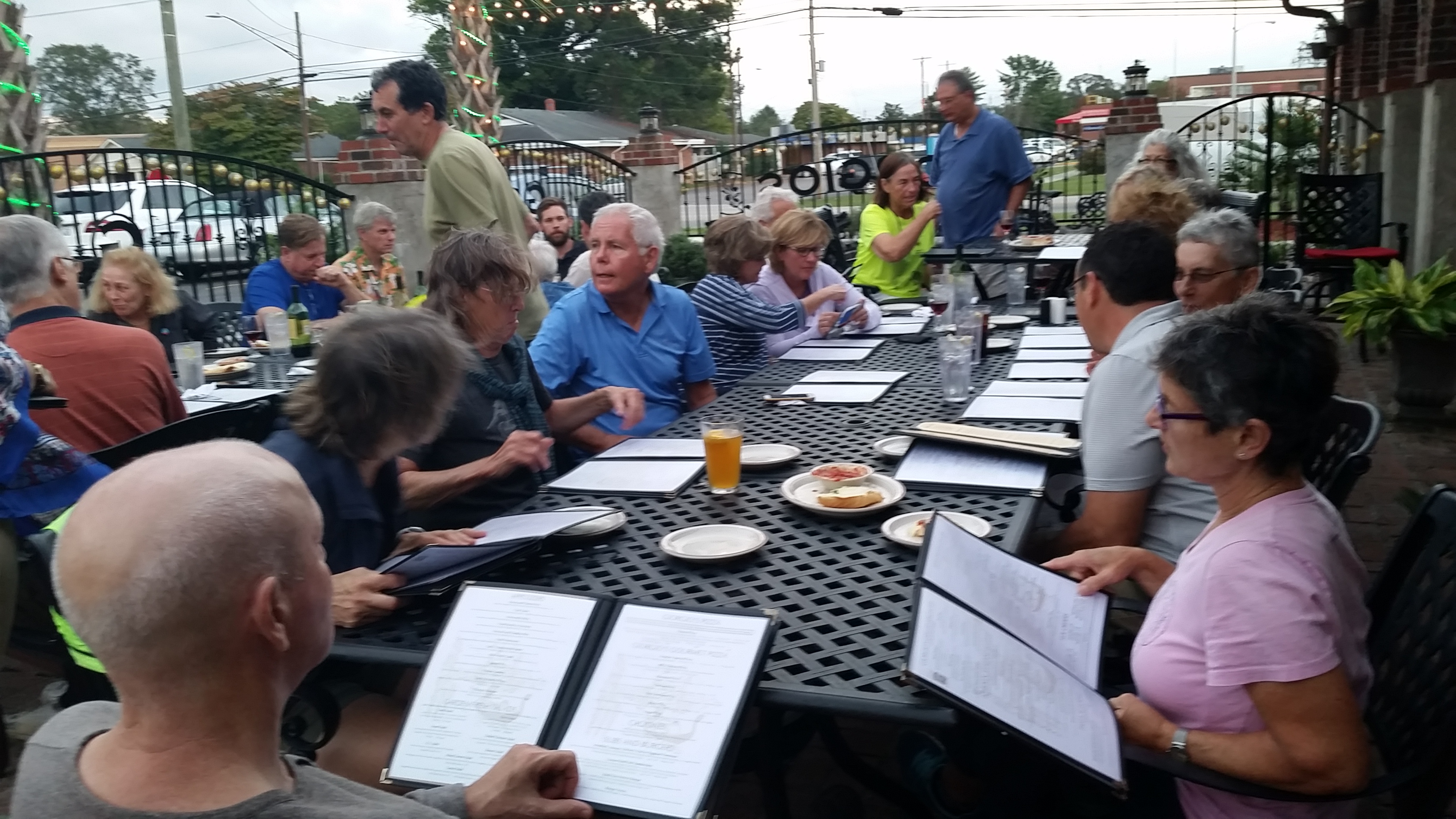
 (It’s always about the food isn’t it? Much nicer than my usual style!)