
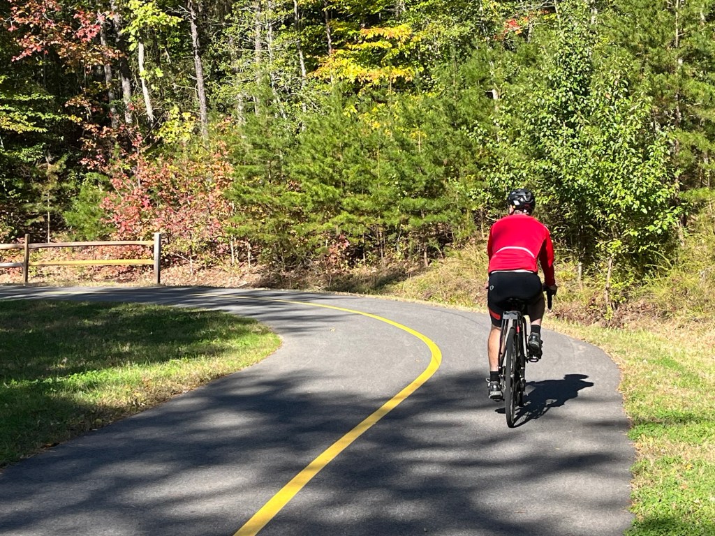
One 180-degree turn, then another. That next one — a third, or just a squiggle?
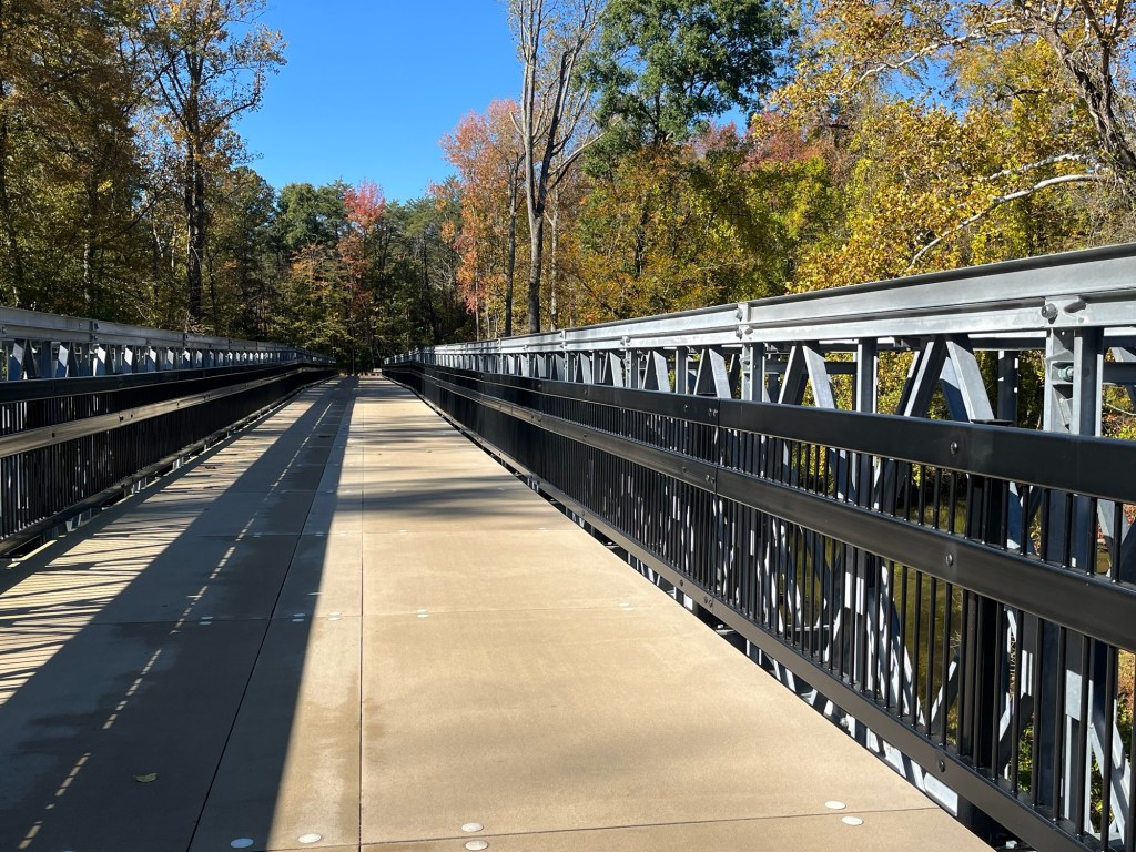
I’m biking on the WB&A Trail, named after the old Washington, Baltimore and Annapolis Electric Railroad that once ran here, now that finally, finally the bridge over the Patuxent River is finished.
And this mile of the 12.5-mile (or so) trail is a surprise. I’m smiling as I descend into the riverbed, not thinking about the uphill on the way back. I count maybe 10 switchback turns and another three or so squiggles in this section. Or am I too generous about what is 180 degrees? No matter what, clearly no train ever followed all these twists and turns!
But the rest of this Maryland trail is pretty much railroad straight, in keeping with its former use. Sometimes it seems no wider than what a single train needed, with no room for an oncoming locomotive. The route cuts through acres of greenspace and is lined with trees that turn yellow in the fall.
The bridge, which was completed in 2025, connects the Prince George County and Anne Arundel County sections of the trail. It looks so straightforward that I can’t figure out what took so long … one of those construction secrets?
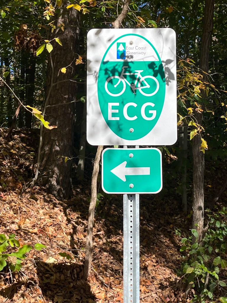
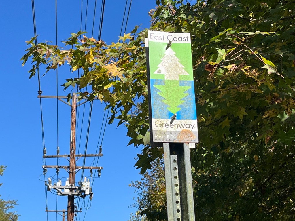
The trail is also part of the East Coast Greenway. I even spotted a few signs.
Will there soon be a direct route from the BWI path to Odenton, where we began the day’s ride, rather than via the B&A Trail and Annapolis?
UPDATE, from someone in the know: There are plans to connect the WB&A to the BWI Trail — see the BWI to Odenton Trail Feasibility Study from 2021 here.
Also, the Anne Arundel Trail Network led by Bicycle Advocates for Annapolis & Anne Arundel County has a trail connection coming together as part of that countywide trail network. A progress update from February 2025.
Back to the ride and what we found….
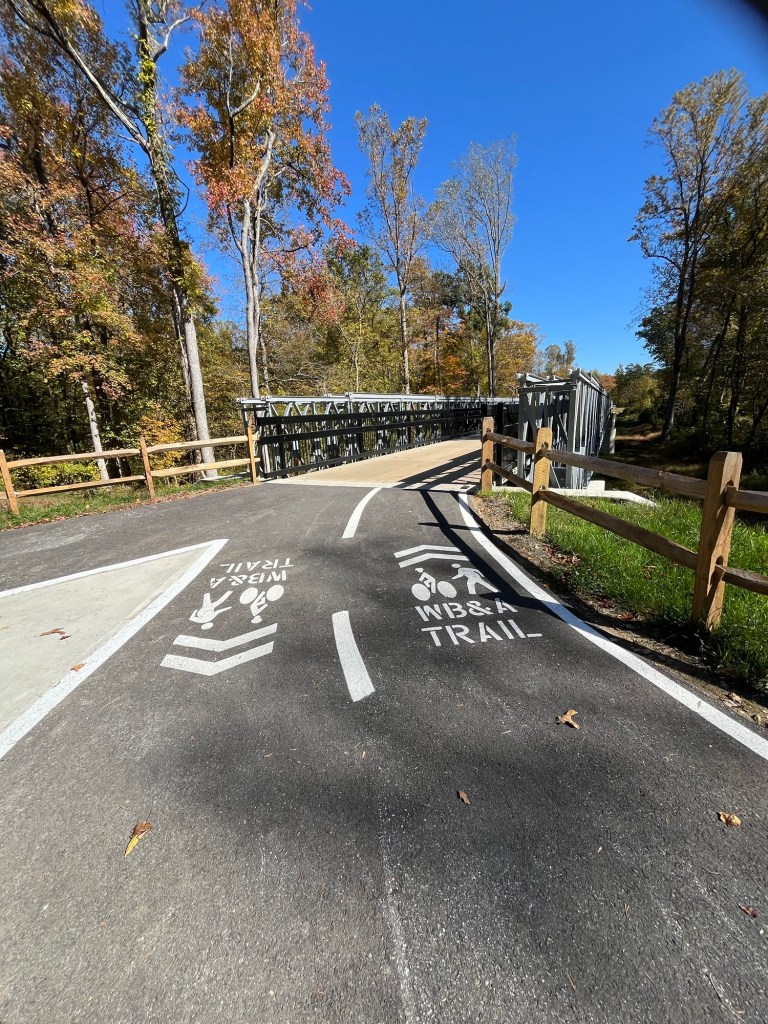
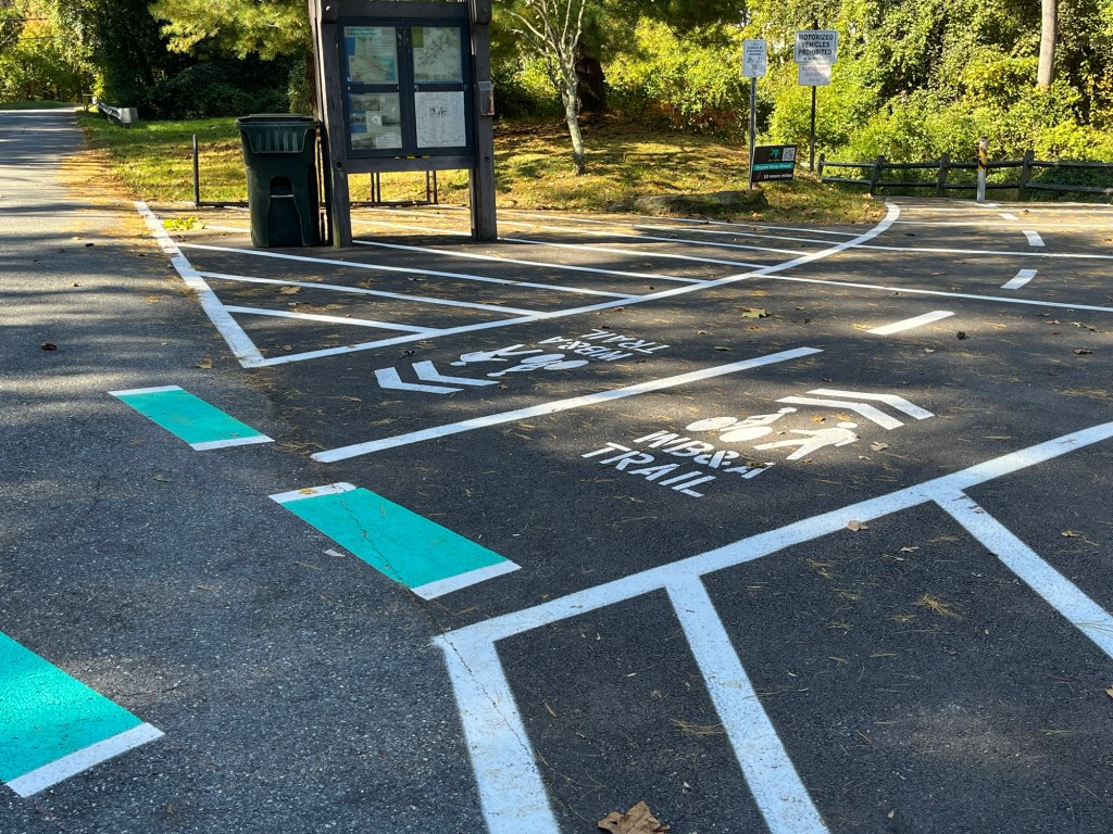
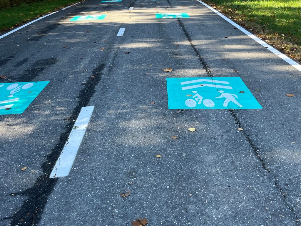
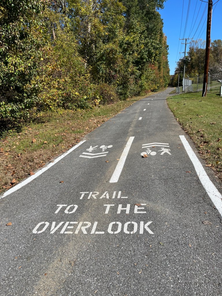
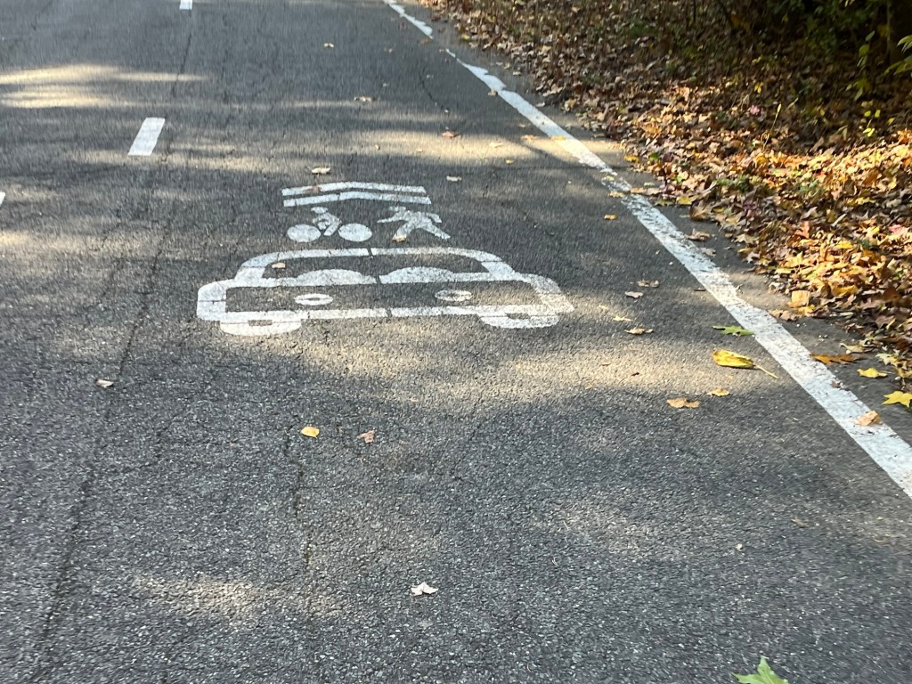
Nice use of paint to help people find their way:
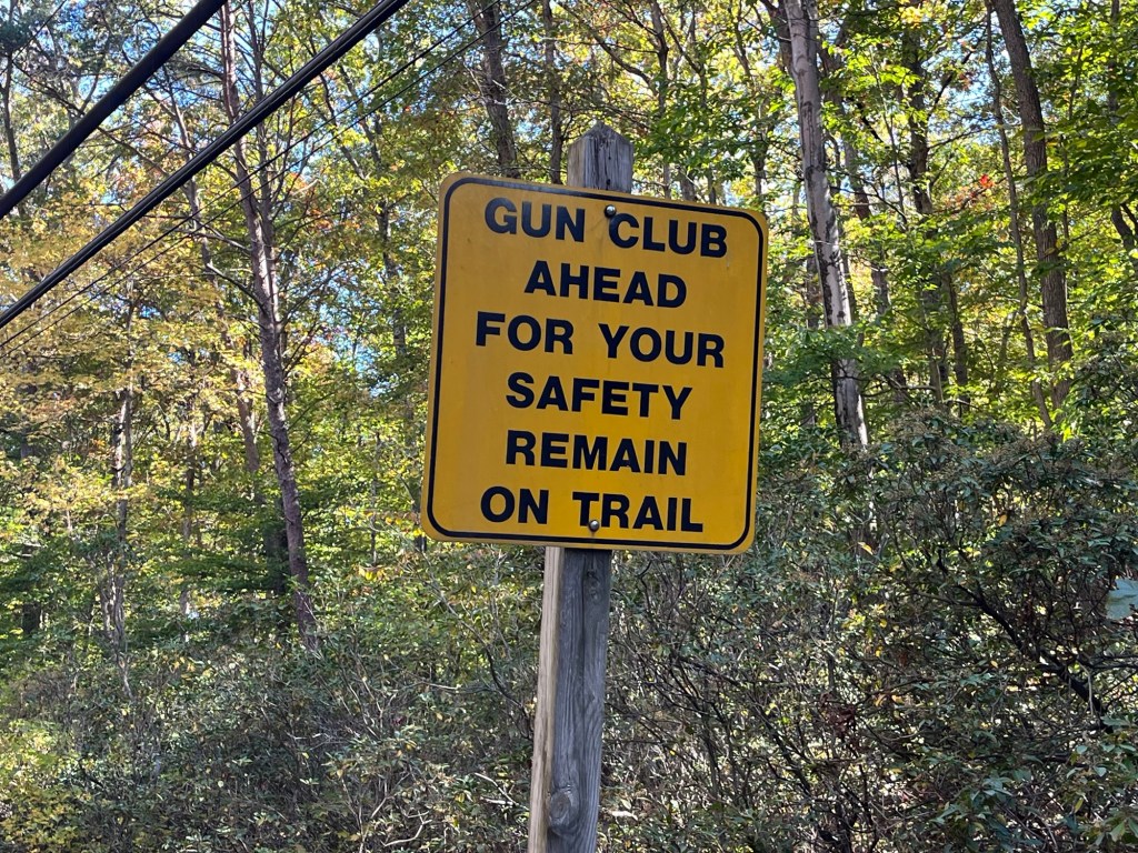
Now here’s a surprise:
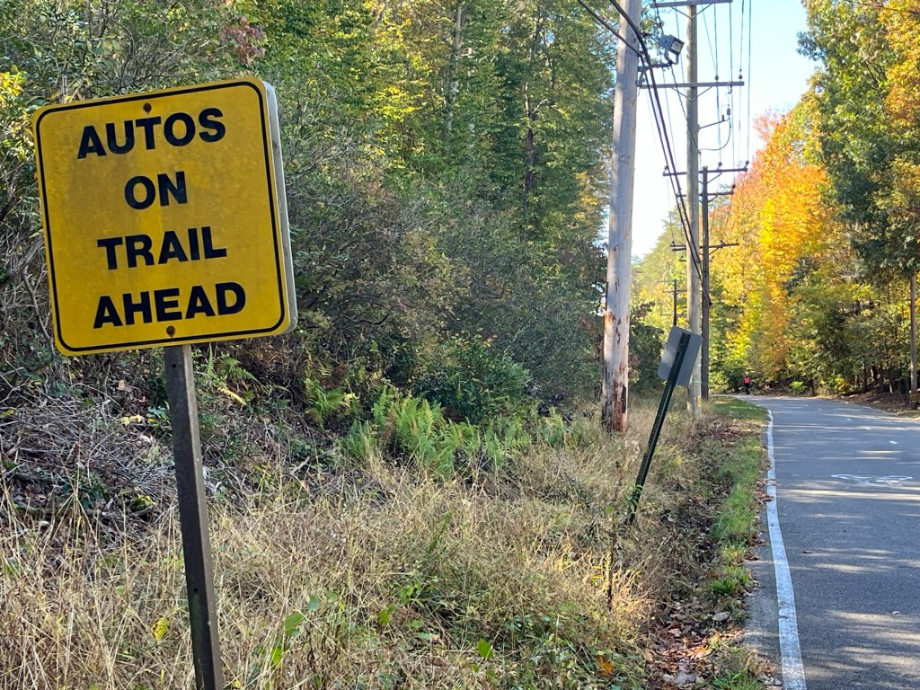
Turns out access to the Berwyn Rod & Gun Club shares space with the trail, so there’s a small stretch where cars and bikes and runners have to share the lane.
Here’s the warning for those headed north:

Wish I had known when you were visiting!
You probably went to the overlook, which was the original route of the rails. For some reason that route is no longer available on the other side, so a crossing at the river access was done. Indeed, I didn’t find the climb too much as long as your standards are not “completely flat”.
I agree a route completely to the BWI trail would be useful, but Annapolis is a great city with a great trail leading to it, so I expect the ECG route will remain through there.
Just as important is extending the trail the rest of the way into DC. There is an effort already well underway to get a sidepath along MLK Hwy / Rt. 704
LikeLike
Thanks for the insight! Hope the trail keeps pushing south. Would be great to have a route to Greenbelt NPS for all those through-riders who are camping. And to connect to the NE Branch Trail that leads to the Anacostia River Trail … we really enjoyed those back a few years ago.
Agree, the climb isn’t much, just more fun the other way.
LikeLike
The signage and pavement markings look great. It’s awesome to see more things coming online along the ECG! Maryland is on my short list of places to visit with the bicycle (particularly because I want to ride the C&O one day).
LikeLike