
Not every bike ride needs to be 50 miles, or even 30 miles. This is a family-friendly ride done with my neighbors in mind, one that gets you across Plainsboro to the New Jersey Audubon Society’s Plainsboro Preserve and almost 1,000 acres of preserved land.
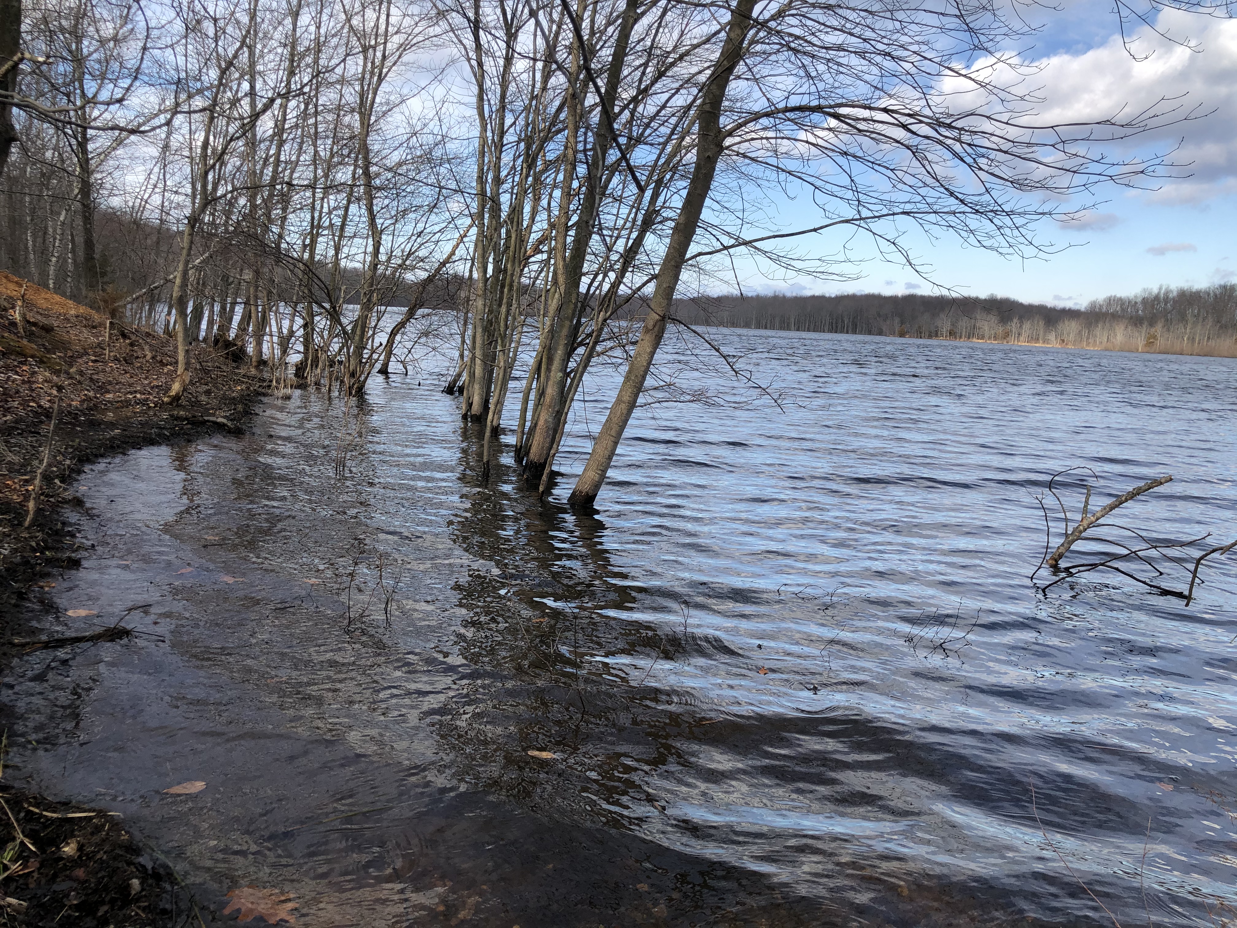
While you can’t bike in the preserve, it’s a great place to walk through woods or fields, birdwatch or just stare at the lake (really an old sand quarry). Expect some muddy spots if it’s rained recently, if not some flooded spots.
And yes, there’s a bike rack. Just check opening hours, especially in winter (and during deer cull time).
I’ve got two options that take advantage of Plainsboro’s great network of multiuse paths, both leaving from (or returning to) Mill Pond Park in Plainsboro, which also is the end point of the Lenape Trail. There’s a small parking lot there. If you’re not taking the trail, another option is to park a few blocks away in the shopping center next to the Plainsboro post office. It’s just a couple of blocks off the second route.
Both are less than 5 miles (one is less than 4). And unlike when you drive, both keep you off Plainsboro’s busiest roads.

For the way out, I’ve opted for the longer route – 4.4 miles.
Follow the Lenape Trail (part paved, part not) behind an apartment complex and a small business area until you can access Enterprise Drive and a shopping center (another place to park, if you want a shorter route.) You’ll cross Plainsboro Road at the traffic light, then follow Wyndhurst Road, a residential road, past Town Center School and across Dey Road. (Shockingly, no traffic light here despite the school.) Then you pick up multi-used paths, residential roads and park road until you reach Scotts Corner Road. You will have a quarter-mile or so of riding on the road with no shoulder until you reach the preserve on your left.
Here is the cue sheet on Ride With GPS.
The way back is almost a mile shorter. It’s the same until you get to the intersection of Dey Road and Wyndhurst. Instead of crossing Dey Road, continue on the path until you reach the end at the intersection with Scudder’s Mill Road. Go all the way to the end to cross at the light so you only have to cross once. There’s more sidepath on Dey Road until you are past the church, but at this point it’s already a quiet road, and the street is fine. Go straight through the light at Plainsboro Road, where Dey becomes Edgemere Road, past the elementary school playground and to the end, where it meets Maple. Turn left and Mill Pond Park is about 0.1 miles away.
Here is the cue sheet on Ride With GPS (sorry about the extra loop through the parking lot).

If you’re biking from West Windsor, turn onto Maple Street at the traffic light not far from a trio of schools. A sidepath will take you most of the way from the intersection of Cranbury Road and Grovers Mill Road in Plainsboro, or there’s a shoulder on Millstone Road from the intersection with Cranbury Road and the traffic light there. The Princeton Junction train station is less than a mile from Cranbury and Millstone roads.
Finally, remember these?

No dial tone.
Got to wonder why it is still at the preserve. Was it too much trouble to remove it?
