
It’s such a great feeling when you turn on your bike computer and it says next turn in 19 miles.
Continue reading “Biking the East Coast Greenway: 19 traffic-free miles on Connecticut’s Air Line Trail from Willimantic to Pomfret”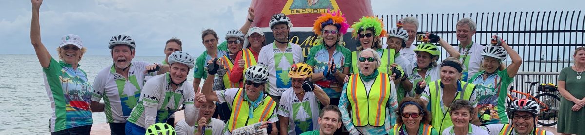
I’ve cycled almost all of the East Coast Greenway. I’m spending three days riding sections I haven’t yet ridden, starting with Connecticut’s Air Line Trail.
It’s such a great feeling when you turn on your bike computer and it says next turn in 19 miles.
Continue reading “Biking the East Coast Greenway: 19 traffic-free miles on Connecticut’s Air Line Trail from Willimantic to Pomfret”A new section of the Delaware River Heritage Trail will take you to Roebling .. almost.
The goal: biking to the Roebling Museum from our house.
The museum celebrates the company that built the Brooklyn Bridge, which opened 137 years ago to the day of our ride. I admit, I only learned that after we got home, but still, pretty cool. (And yes, the museum is closed because of coronavirus but it was the turn-around point for a ride a couple of years ago. Then we could say we’d ridden all the way to Riverside, about 5 1/2 miles from the Tacony-Palmyra Bridge into Philadelphia)
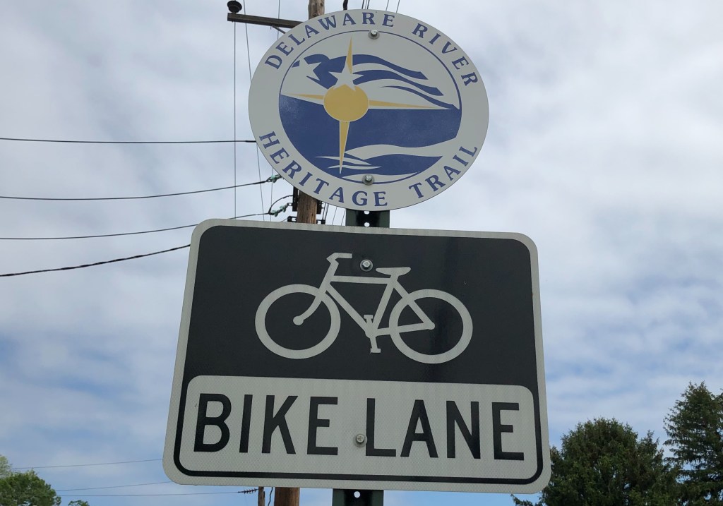
The more immediate reason is that a new section of the Delaware River Heritage Trail is under construction and will push the route south to Roebling (and eventually all the way to Camden and the Ben Franklin Bridge to the heart of Philadelphia). Right now it’s the alt route for the East Coast Greenway between Trenton and Philadelphia — we’ll see which route gets finished first.
So I wanted a look.
We used an app called Komoot to map out our route. Enter start point, enter end point and it maps out a bike route for you. Think Google Maps, and easier for mapping than Ride With GPS. And it was super easy to tinker with (for example, it kept us on Old Trenton Road toward Mercer County Community College longer than I’d like, rather than having us turn left at a traffic light onto Robbinsville-Edinburgh Road and then right onto Line Road, where there’s no through traffic for motorized vehicles at the West Windsor-Hamilton line but is open to bikes.) It was going to be about 21 miles each way.
The new trail didn’t show up, but hey, it’s not quite finished. We heard it was rideable anyway… Add on a few miles for that — maybe 25 miles each way?
But first we had to get through Hamilton, Mercer County’s largest city. I had to wonder if officials there have heard of bike lanes …
Traffic was light, but I credit the coronavirus for that. Otherwise we were biking on a road that crossed one major retail strip and crossed roads that led to other big retail centers. We crossed Interstate 195 and then US 130 a couple of times. I’d be happy to weave through residential neighborhoods, but not to get dumped out on an even busier road. (If I ever try this during normal traffic, I’m avoiding Hamilton and adding on a few miles via Allentown.)
Then we got to Bordentown, home to a signer of the Declaration of Independence (Francis Hopkinson), Napoleon’s oldest brother and once the king of Spain and Naples (Joseph Bonaparte), the founder of the American Red Cross (Clara Barton) and the man who proclaimed “Give me liberty, or give me death” just before the start of the American Revolution (Patrick Henry). We missed his statue by a couple of blocks. I know Bordentown better for its restaurants, but sign me up for a walking tour of this tiny town!
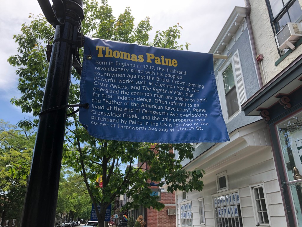
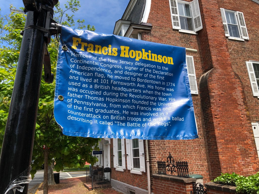
Bordentown also is where we picked up the Delaware River Heritage Trail. It does go north toward Trenton — it shows up on Google Maps as the D&R Canal, but I’m told the entrance from Trenton is hard to spot, that it doesn’t connect with the D&R Canal sections further north.
However, we were headed south, through Fieldsboro and to the QuickChek gas station at the corner of US 130 where the new segment of trail begins and lets us avoid this busy highway. Green paint at an intersection for bikes — that’s new for my part of NJ! The trail took us through Crystal Lake Park, onto a quiet road (fresh sidewalk for those who want it), then back to trail and under US 130.
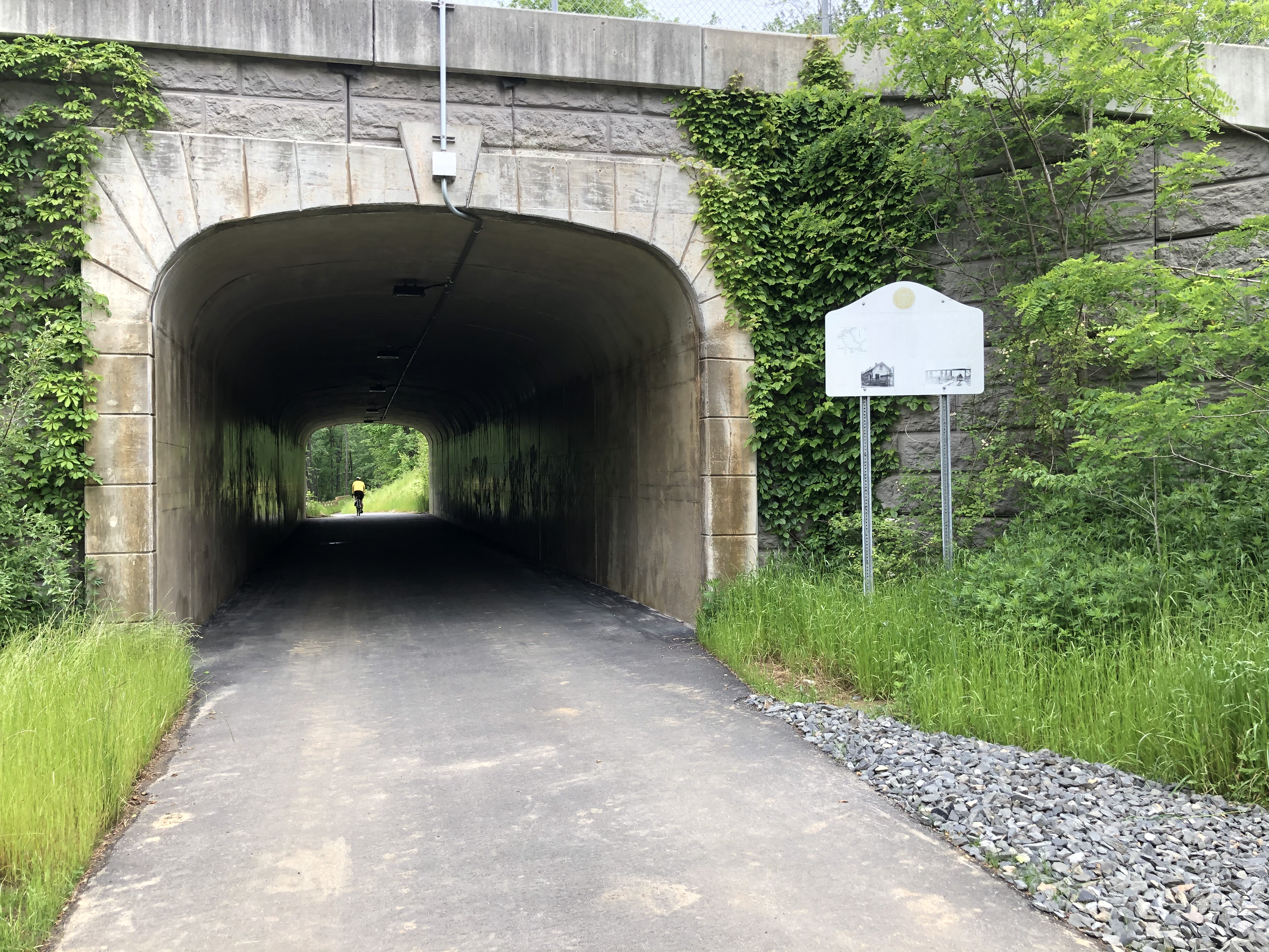
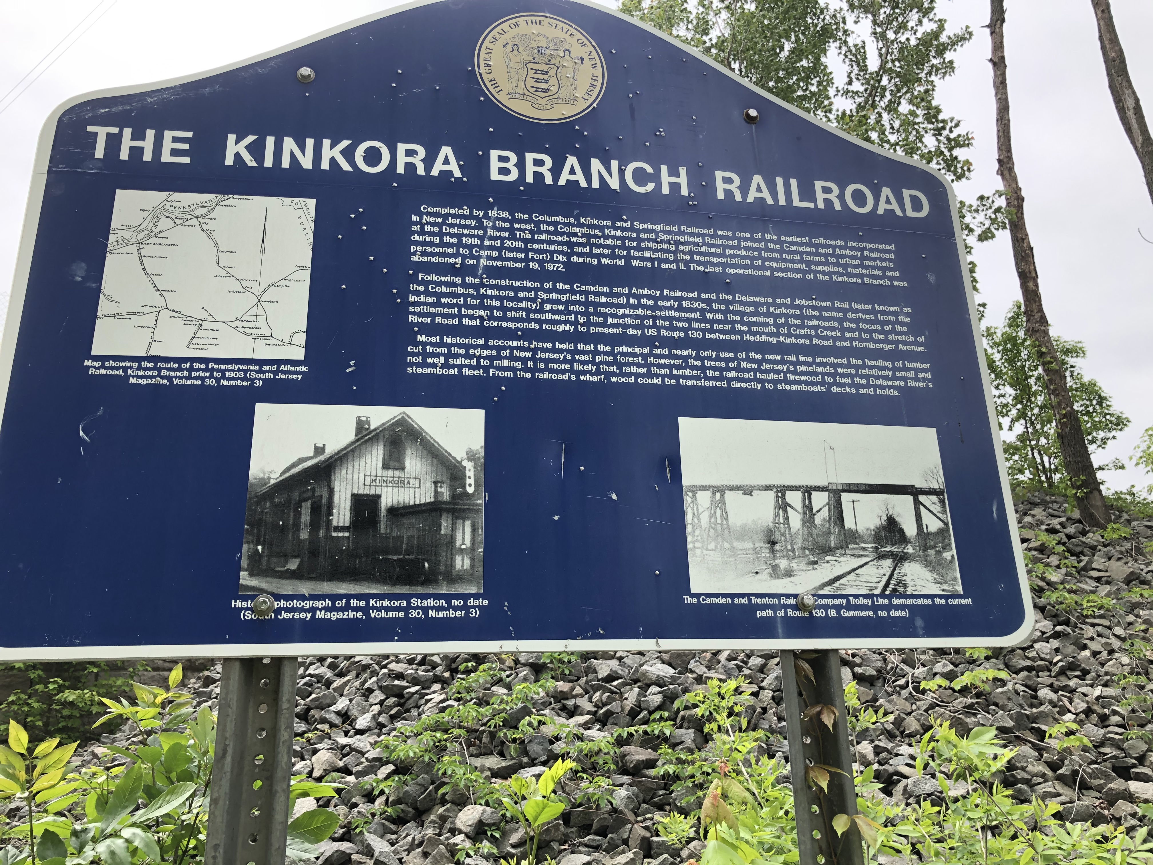
And then …
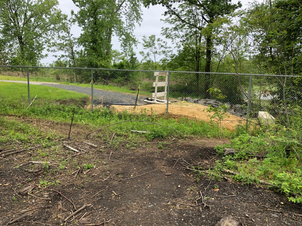
New Jersey Transit isn’t quite ready for this trail to cross the RiverLine tracks. It has blocked off the next section of already-paved trail with a fence, and we weren’t ready to look for the goat paths to get around it.
More of what we saw at the railroad crossing:
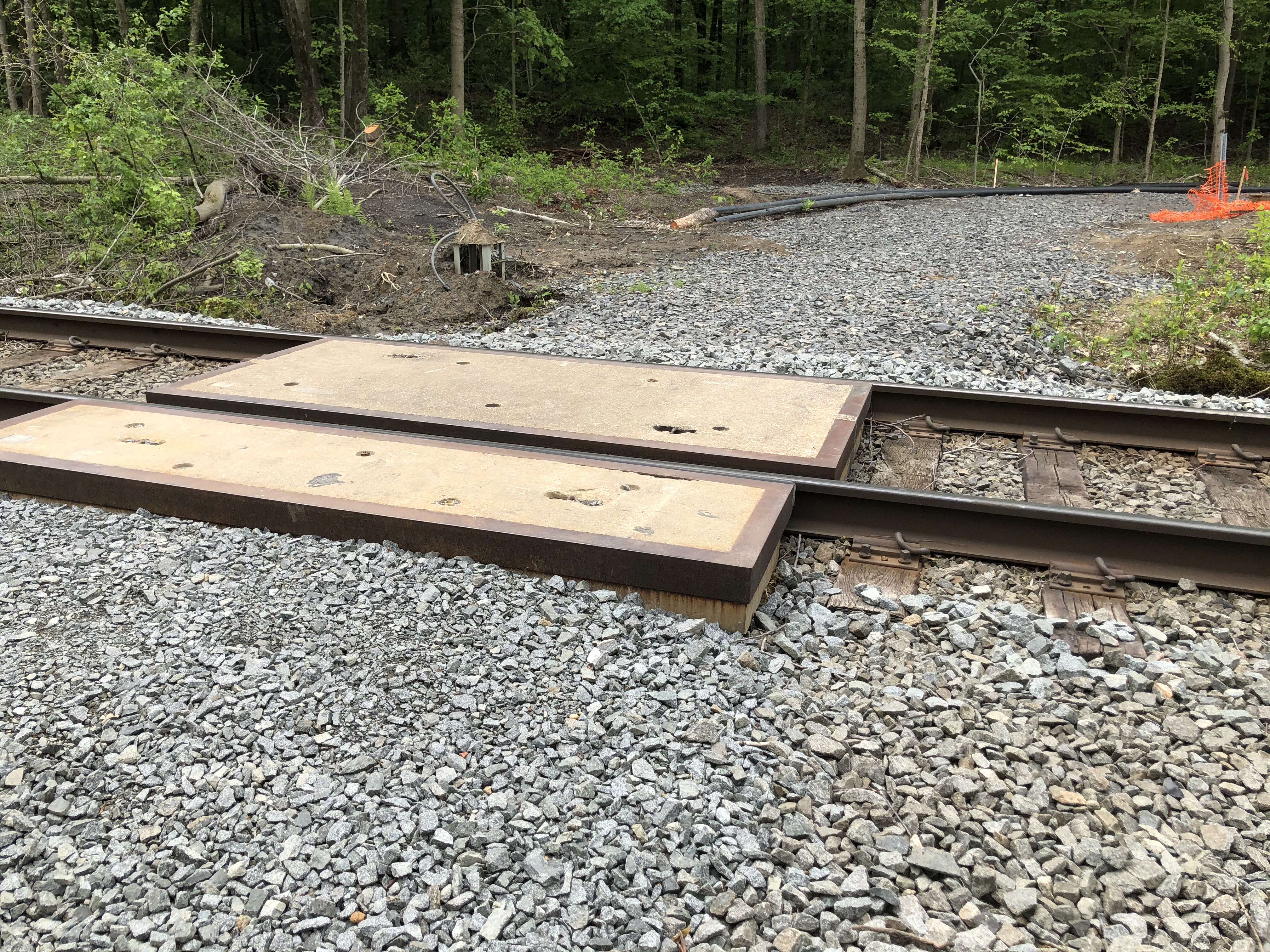
Nor was there an easy way to get onto US 130 at that point and brave two lanes of fast-moving traffic by using the shoulder for a mile or so until we could turn right into Roebling.
So we turned back, just a few miles from our goal. We’ll try again when this section of the Philadelphia region’s Circuit Trails has its ribbon-cutting. (Actually, we didn’t wait for that and biked from Trenton to Camden — here’s how)
A 46-mile day.
It’ll make you want to be on your bike!
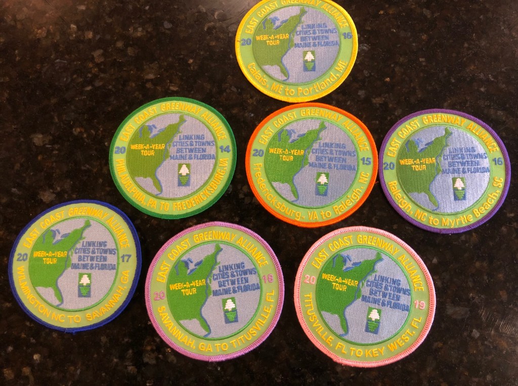
Just about everyone who knows me knows that I’m a big fan of the East Coast Greenway, a 3,000-mile route connecting cities from the Canadian border in Calais, Maine, down to Key West in Florida. I’ve ridden almost all of it, admittedly liking some parts more than others, and remain hopeful that I’ll be able to meet up with some of my Greenway buddies at the end of the summer to close my final gap.
But when we have to social distance when we get on our bikes and can’t head out for multi-day rides, all thanks to the coronavirus, and it’s rainy or threatening to rain, like this entire weekend, we need a little something to dream about.
And so I offer this video from one of my Greenway buddies about the nine weeks (one a year) that a semi-permanent cast of characters spent biking the 3,000 miles.
If you want to follow in our tire tracks, you can get free cue sheets in the maps section of the Greenway’s website. Enter your start and end point (because no one says you have to do the whole thing, or all at once), and it will spit out every left and right turn you need. Yes, they are good for walkers too. And of course you can read about my experiences on the Greenway by clicking through on this blog. I’d also recommend this blog chronicling an end-to-end ride.
Finally, the Greenway blog has plenty of tips for riders and walkers, including camp sites along the route, plus bike shops, breweries, ice cream shops, coffee shops, national parks sites, minor league baseball, museums, even college campuses.
What a way to see the East Coast of America!
This marks the end of the Week a Year rides along the East Coast Greenway.

Done!
We have made it to Key West and the end of the 3,000-mile East Coast Greenway. It’s an especially happy moment for those who have now ridden the entire route, with its ups and downs (I’m envious; I still need to ride from Providence to New York). It’s also a sad moment because the end of the annual Week A Year rides means we won’t have an obvious reason to gather every year. Hopefully some of us will still ride together.
So, yes, we ended at the oversized buoy marking the southernmost point in the U.S. There’s a line of people all waiting to get their photo taken there, so it feels, well, like a tourist trap. Far cooler, I thought, and more suitable for us was the multi-colored arch of bike wheels the city of Key West created for us in a park a couple of blocks away.

We weren’t the only ones loving it. City officials said non-cyclists were taking photos there all day. It will get even more attention on Saturday, when the two-day, 165-mile Miami-to-Key-West Smart Ride wraps up, and I hope city officials then give it a permanent spot.
Actually, it’s a cool idea to borrow for the East Coast Greenway’s NYC-PHL ride next year.
Continue reading “Day 7: 53 miles from Marathon to Key West”Our luck finally ran out. We were chased by storm clouds all the way to Marathon.

Our luck finally ran out. We’d woken up to rain in Titusville, but it was sunny by the time we left for our first day on this year’s Week A Year Tour.. There was a torrential downpour in Palm Beach the day before we arrived, and more rain the day after. Sunshine, though, when we were there.
But today … it was raining when we woke up, and the weather radar that claimed it would be gone by 8:45 a.m. was dead wrong. We waited a bit longer, but at one point you just get impatient. Plus it was a warm rain, close to 80 degrees. How bad could it be?
So we swooped by Doc’s Diner (where you can get breakfast with a dozen scrambled eggs, sausage links, crispy bacon, thick ham steak, pancakes, French toast, homemade sausage gravy, freshly grilled hash browns, creamy grits, hot biscuits and fresh fruit for $36 — and it supposedly feeds just four to five people?) to pick up one rider, and off we went in the rain.
The rain got worse.
We were on a sidepath along U.S. 1 (really the only road in the Keys) and dodging puddles for a few miles, but it was about to run out and put us onto a bike lane on the road, with trucks and cars going by. Suddenly there, across the road, was the Key Lime Pie Factory (ok, really probably just a store, but factory sounds better in a name). We decided this was the place to seek shelter. Of course the air conditioning was freezing. So we stood outside under an overhang, sharing a slice of pie and staring at the sky. Finally it looked like it was lightening up, and we decided for the second time to just go for it.

This time it really did stop raining, at least for a while. By afternoon, though, we were being chased by this giant dark cloud on the Atlantic side. Every once in a while, we’d get rain again, though thankfully just for a few minutes. It was harder to escape the puddles, though, and my feet were sloshing in my bike shoes by the time we reached the hotel.
Continue reading “Day 6: 54 miles from Key Largo to Marathon”Sometimes Florida surprises cyclists, and I mean that in a good way.

Sometimes Florida surprises you, and I mean that in a good way.
Today we had lots of trail. Not in the wooded, shady way but in the separated from three lanes of crazy traffic on U.S. 1 kind of way. First, though, we had to get out of Miami Beach and into Miami. We had more of that lovely beachfront trail in Miami Beach — the Atlantic Greenway — down to the tip of Miami Beach, past some of the amazing Art Deco buildings and then back north to the MacArthur Causeway Bridge.

Then came the bike lane on the bridge next to rush-hour traffic. All you can do is ride in a group and keep hoping that Florida traffic engineers actually get on a bike one day and think about ways to make this better.
Continue reading “Day 5: 74 miles from Miami Beach to Key Largo”When will Florida be under water? We saw signs.

Remember how I wrote a couple of days ago that the river has risen 8 inches in a decade because all the construction in Florida means there’s less space to handle water run-off so it all ends up in rivers that lead to the coast?
Today we saw what that means.
We were cycling along the Intracoastal Waterway south of Delray Beach and north of Boca Raton — perhaps Highland Beach. The road was flooded and the water was lapping at what’s essentially a curb along the water. It won’t take much more to create a permanent mess. Even the Harley rider whose T-shirt depicted a GOP elephant adorned with Trump’s hair admitted Florida will be under water. Too bad, he said, before gunning his engine as the drawbridge was still closing.


Today’s route was lots more of A1A (only a few truly crazy spots) and one town blending into another, often with walls of high rises and even more under construction. For people who escaped the big cities up north for lots of sunshine, I saw this as a less-appealing version and the same congested roads. And with little in the way of alternative transportation, what happens when you have to give up driving? It didn’t make me want to say oh yes, let’s move to Florida when we retire.
Continue reading “Day 4: 54 miles from Delray Beach to Miami Beach”Bike disaster!

Yup, more beach-to-beach riding. And wow that Florida sun is strong! We keep lathering on the sun block (got to remember to put some on my nose tomorrow) and breathing a sigh of relief every time we get some extended shade.
But first, the day’s bike drama. This is my seventh Week-a-Year ride with the East Coast Greenway, and I’ve not had even one flat tire. Today, though, we were only 2, maybe 3 miles into the ride when I heard a loud boom. My bike struggled to move. Then it wouldn’t move at all. The tire was rubbing against the frame in spots.
Fortunately, this ride comes with a mechanic on speed dial. Alan the miracle worker showed up as soon as he finished fixing someone else’s bike. My problem was a broken spoke. On the rear wheel. And when a spoke breaks, the wheel no longer stays straight.

Off came the wheel. And the tire. And then the cassette (that’s the set of gears in the back).
Continue reading “Day 3: 71 miles from Jensen Beach to Delray Beach”Ponce de Leon, Navy SEALS and a search for pelicans.

Nearly 50 miles into today’s ride, we stopped at the Navy SEAL Museum in Fort Pierce. I learned a few things. Obviously these guys are very fit and far braver than me. But they also have a lot of cool gadgets; jet-propelled boots to go even faster under water, for one. And they never leave someone behind.
That was us today, traveling in a pack of six and not leaving anyone (very far) behind as we headed further south on the East Coast Greenway lathered in sun block and aided by a lovely tail wind. One of our first stops was this Ponce de Leon statue to mark where he came ashore in 1513 and called this land La Florida. You may remember him as the guy looking for the Fountain of Youth. Too bad he didn’t know about cycling; that’s the real magic elixir.

Pecans! Giant avocados! Of course we stopped.

Today’s directions were to pretty much follow U.S. 1 aside from the beginning and the end. But it’s never that simple.
On the positive side, Florida does put bike lanes on U.S. 1. On the other hand, it is a U.S. highway, so traffic is going right by you at 55 mph or more and there’s nothing pretty to see. Mostly it’s pawn shops, bail bonds and the odd CBD store. As for pedestrians — you want a sidewalk? Sorry, none of that. Use the bike lane next to all that traffic (as we saw a couple do with a stroller) or walk in the grass. This is why need the East Coast Greenway — for people on foot as well as people on bikes.
Immediately there’s talk of what happens if we go a bit further east, onto Merritt Island. Think toward Kennedy Space Center. And after many miles on U.S. 1 with all 40 of us, a big chunk finally do, going over one steep causeway bridge and onto this narrow strip of land sandwiched between Indian River and Banana River, not as far east as Cocoa Beach.
Continue reading “Day 1: 45 miles from Titusville to Melbourne”
